Download
Preview
Add to list
More
15.2 km
~3 hrs 46 min
435 m
Loop
“Embark on a scenic, medium-difficulty 15 km hike through diverse landscapes and historical sites near Raleigh County, WV.”
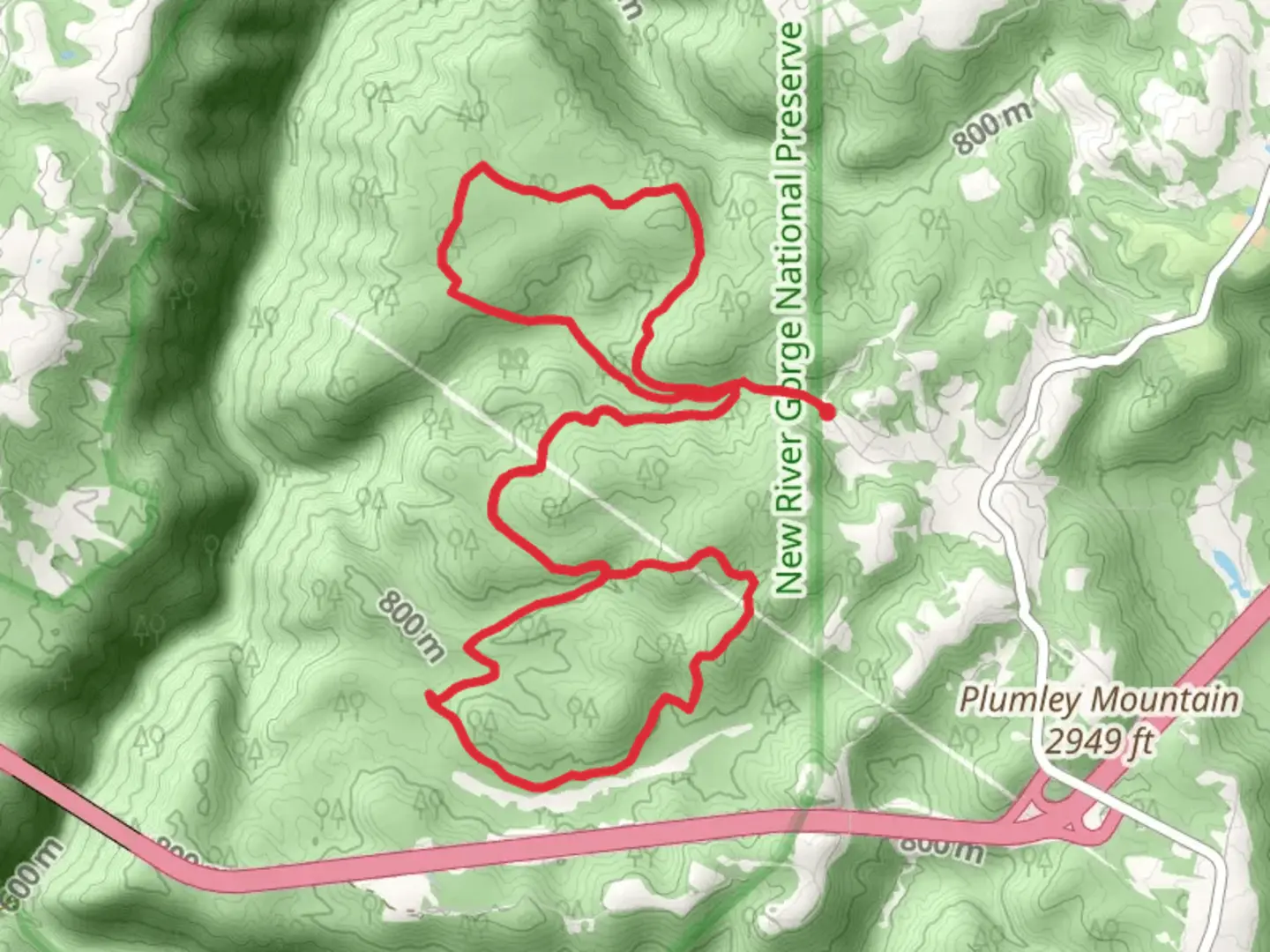
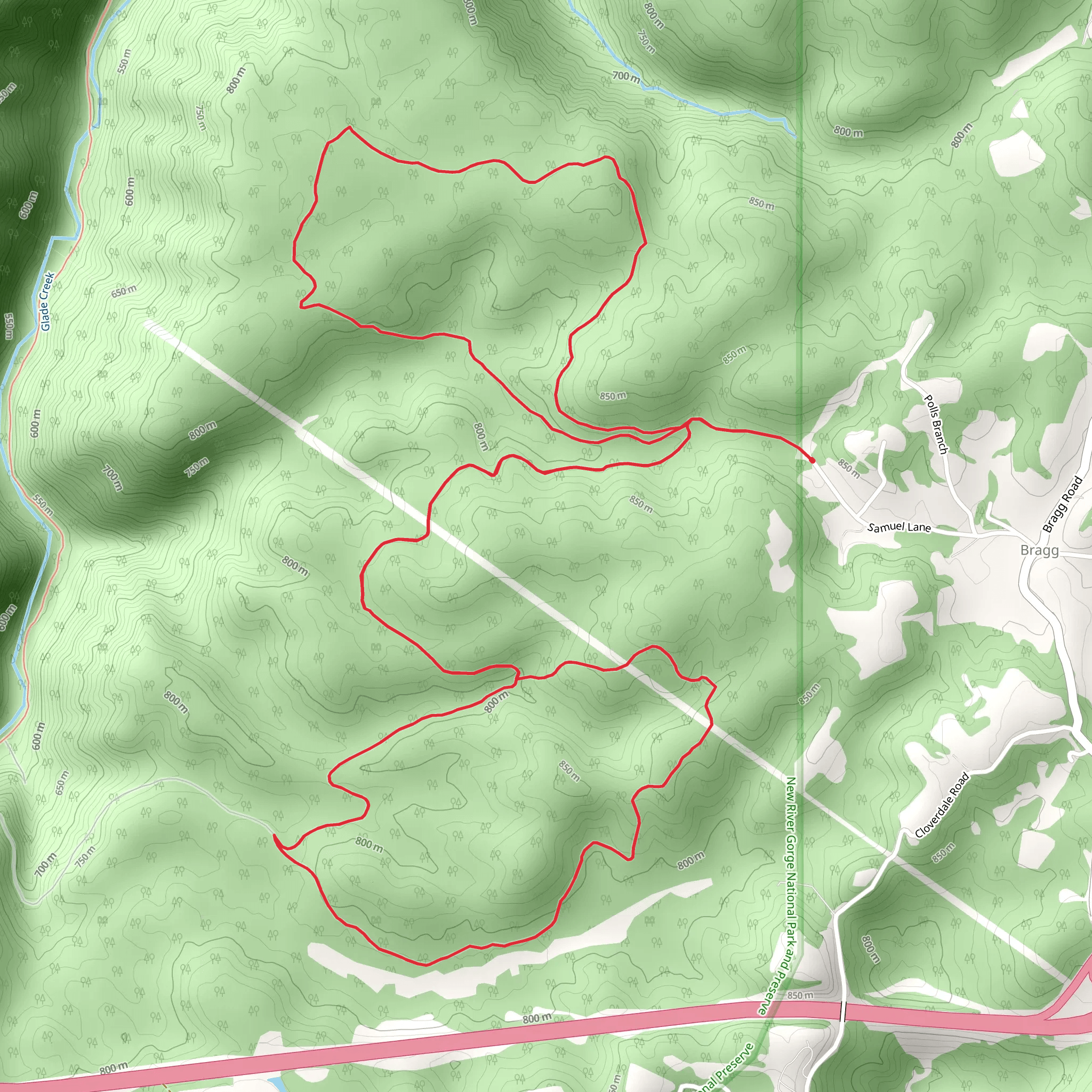
Starting near Raleigh County, West Virginia, the Polls Plateau and Kate's Plateau Loop Trail offers a captivating 15 km (approximately 9.3 miles) journey through diverse landscapes with an elevation gain of around 400 meters (about 1,312 feet). This loop trail is rated as medium difficulty, making it suitable for moderately experienced hikers.
Getting There To reach the trailhead, you can drive or use public transport. If driving, head towards the nearest significant landmark, the Beckley Exhibition Coal Mine, located at 513 Ewart Ave, Beckley, WV 25801. From there, it's a short drive to the trailhead. For those using public transport, the Beckley Intermodal Gateway is the closest major transit hub, offering bus services that connect to the area.
Trail Overview The trail begins with a gentle ascent, allowing hikers to acclimate to the terrain. The first 3 km (1.9 miles) lead you through dense forests, where you can spot a variety of flora such as oak, hickory, and maple trees. Keep an eye out for local wildlife, including white-tailed deer and eastern box turtles.
Polls Plateau At around the 5 km (3.1 miles) mark, you will reach Polls Plateau. This section offers panoramic views of the surrounding valleys and is an excellent spot for a short break. The elevation gain here is gradual, making it a comfortable climb. The plateau is also home to several bird species, so bring your binoculars if you're a bird-watching enthusiast.
Kate's Plateau Continuing on, the trail descends slightly before ascending again towards Kate's Plateau, located approximately 8 km (5 miles) into the hike. This area is known for its unique rock formations and offers another opportunity for stunning vistas. The elevation gain here is more pronounced, so be prepared for a bit of a workout. Historical markers along this section provide insights into the region's past, including its significance during the coal mining era.
Navigation and Safety The trail is well-marked, but it's always a good idea to have a reliable navigation tool. HiiKER is recommended for its detailed maps and real-time updates. Ensure you have enough water and snacks, as there are no facilities along the trail. The terrain can be uneven, so sturdy hiking boots are essential.
Final Stretch The last 4 km (2.5 miles) of the loop take you through a mix of open meadows and forested areas, gradually descending back to the trailhead. This section is relatively easy, allowing you to cool down and enjoy the final leg of your hike. Look out for wildflowers in the meadows, especially in the spring and early summer months.
Historical Significance The region around Raleigh County has a rich history tied to the coal mining industry. The trail itself passes near several old mining sites, and you may notice remnants of mining equipment and structures. These serve as a poignant reminder of the area's industrial past and its impact on the local communities.
By the time you complete the loop, you'll have experienced a diverse range of landscapes and gained a deeper appreciation for the natural and historical richness of the area.
What to expect?
Activity types
Comments and Reviews
User comments, reviews and discussions about the Polls Plateau and Kate's Plateau Loop Trail, West Virginia.
4.5
average rating out of 5
34 rating(s)
