Download
Preview
Add to list
More
10.6 km
~2 hrs 54 min
478 m
Out and Back
“Venture through lush forests, historical relics, and stunning vistas on the moderately challenging Grey Rock Trail.”
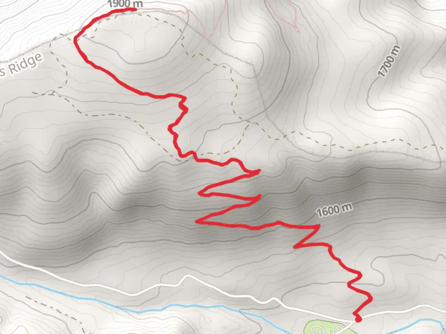
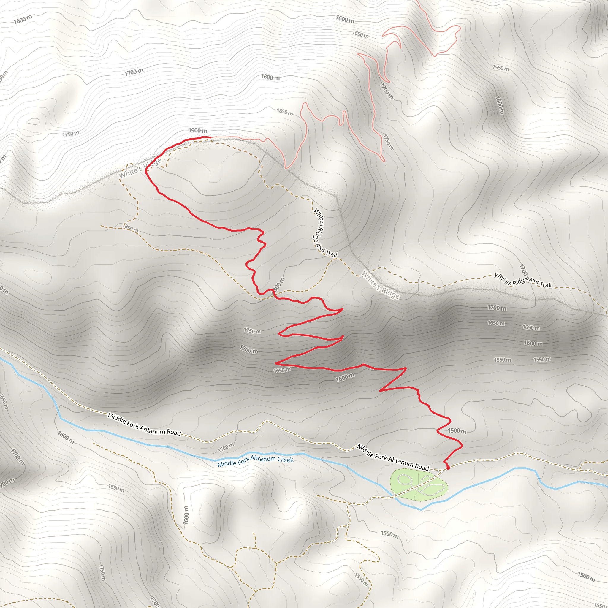
Starting near Yakima County, Washington, the Grey Rock Trail is an 11 km (approximately 6.8 miles) out-and-back adventure with an elevation gain of around 400 meters (about 1,312 feet). This medium-difficulty trail offers a blend of natural beauty, historical significance, and a moderately challenging hike.
Getting There To reach the trailhead, you can drive or use public transport. If driving, head towards the nearest known landmark, the White Pass Ski Area, which is located along US Highway 12. From there, it's a short drive to the trailhead. For those using public transport, buses run from Yakima to the White Pass Ski Area, where you can arrange for a taxi or rideshare to the trailhead.
Trail Overview The trail begins with a gentle ascent through a dense forest of Douglas fir and ponderosa pine. The initial 2 km (1.2 miles) are relatively easy, with a gradual elevation gain of about 100 meters (328 feet). This section is perfect for warming up and getting accustomed to the terrain.
Mid-Trail Highlights As you progress, the trail becomes steeper, gaining another 200 meters (656 feet) over the next 3 km (1.9 miles). Here, you'll encounter a series of switchbacks that offer stunning views of the surrounding valleys and distant mountain ranges. Keep an eye out for wildlife; deer and elk are commonly spotted in this area, and if you're lucky, you might even see a black bear or a mountain goat.
Historical Significance Around the 5 km (3.1 miles) mark, you'll come across remnants of old logging operations from the early 20th century. These historical artifacts provide a glimpse into the region's past and its significance in the timber industry. Take a moment to appreciate the history before continuing your ascent.
Final Stretch The last 1.5 km (0.9 miles) to the summit of Grey Rock is the most challenging, with an elevation gain of about 100 meters (328 feet). The trail narrows and becomes rocky, requiring careful footing. However, the effort is well worth it. Upon reaching the summit, you'll be rewarded with panoramic views of the Cascade Range, including Mount Rainier and Mount Adams on clear days.
Navigation and Safety Given the trail's moderate difficulty and varying terrain, it's advisable to use a reliable navigation tool like HiiKER to stay on track. The trail is well-marked, but having a digital map can provide extra assurance. Always carry enough water, snacks, and a first-aid kit. Weather can change rapidly in this region, so pack layers and be prepared for sudden shifts in temperature.
Flora and Fauna Throughout the hike, you'll encounter a diverse range of flora, including wildflowers in the spring and summer months. The trail is also home to various bird species, making it a great spot for birdwatching. Listen for the calls of the northern flicker and the mountain chickadee as you hike.
Return Journey The return journey follows the same path, allowing you to enjoy the views from a different perspective. The descent is easier on the legs but still requires attention to footing, especially on the steeper sections.
By the time you return to the trailhead, you'll have experienced a rich tapestry of natural beauty, historical intrigue, and physical challenge, making the Grey Rock Trail a memorable hike for any outdoor enthusiast.
What to expect?
Activity types
Comments and Reviews
User comments, reviews and discussions about the Grey Rock Trail, Washington.
4.63
average rating out of 5
8 rating(s)
