Download
Preview
Add to list
More
13.2 km
~3 hrs 32 min
549 m
Loop
“Explore the diverse landscapes and historical richness of the moderate Buffalo Road and Yakima Rim Loop Trail.”
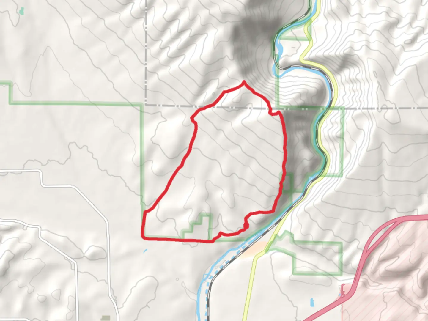
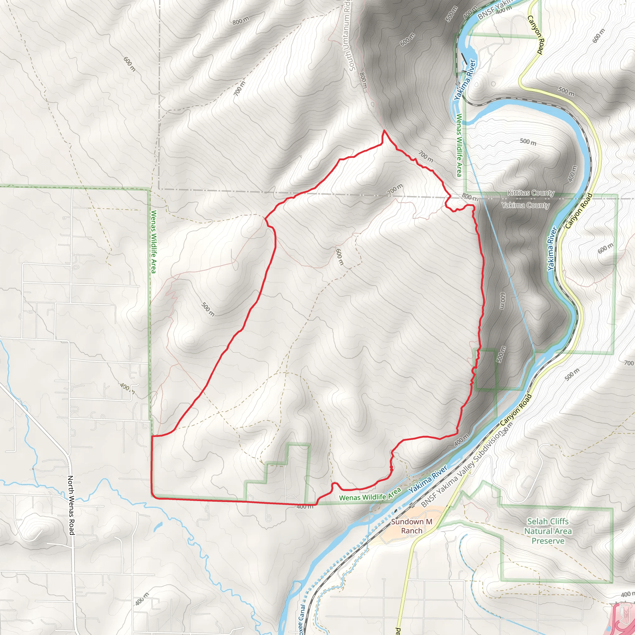
Starting your adventure near Yakima County, Washington, the Buffalo Road and Yakima Rim Loop Trail offers a captivating 13 km (8 miles) journey with an elevation gain of approximately 500 meters (1,640 feet). This loop trail is rated as medium difficulty, making it accessible for moderately experienced hikers.### Getting There To reach the trailhead, you can drive or use public transportation. If driving, head towards Yakima County and look for Buffalo Road. The nearest significant landmark is the Yakima Sportsman State Park, which is a good reference point for navigation. For those using public transport, the Yakima Transit system offers routes that can get you relatively close to the trailhead, but you may need to arrange for a taxi or rideshare for the final leg of the journey.### Trail Overview The trail begins with a gentle ascent, allowing you to ease into the hike. As you progress, the terrain becomes more rugged, offering a mix of dirt paths and rocky sections. The initial 2 km (1.2 miles) will take you through a series of switchbacks, gaining about 150 meters (492 feet) in elevation. This part of the trail is shaded by a canopy of pine and fir trees, providing a cool and refreshing start.### Significant Landmarks and Nature Around the 3 km (1.9 miles) mark, you'll encounter the first significant landmark: a panoramic viewpoint overlooking the Yakima River. This is an excellent spot for a short break and some photography. The river below winds through the valley, offering a stunning contrast to the rugged cliffs that surround it.Continuing on, the trail meanders through open meadows filled with wildflowers in the spring and early summer. Keep an eye out for local wildlife, including deer, elk, and a variety of bird species. The area is also known for its population of rattlesnakes, so be cautious and stay on the trail.### Historical Significance The Yakima Rim area holds historical significance as it was once a vital hunting ground for the Yakama Nation. The region's rich history is evident in the landscape, with ancient petroglyphs and remnants of old hunting camps occasionally visible along the trail. These historical markers offer a glimpse into the lives of the indigenous people who once roamed these lands.### Navigation and Safety As you approach the halfway point of the loop, around 6.5 km (4 miles) in, the trail reaches its highest elevation. Here, you'll gain the remaining 350 meters (1,148 feet) of elevation. The path can be steep and rocky, so sturdy hiking boots are recommended. Using a navigation tool like HiiKER can help ensure you stay on track, especially in areas where the trail may not be well-marked.### Final Stretch The descent begins after reaching the peak, with the trail winding back down through a series of switchbacks. The final 3 km (1.9 miles) offer a gradual decline, making for a pleasant end to your hike. You'll pass through more open meadows and forested areas before looping back to the trailhead.This trail offers a diverse range of landscapes, from river views to open meadows and dense forests, making it a rewarding hike for those looking to experience the natural beauty and historical richness of the Yakima Rim area.
What to expect?
Activity types
Comments and Reviews
User comments, reviews and discussions about the Buffalo Road and Yakima Rim Loop Trail, Washington.
4.62
average rating out of 5
13 rating(s)
