Download
Preview
Add to list
More
15.8 km
~3 hrs 48 min
387 m
Out and Back
“Traverse scenic forests and meadows with stunning views and historical intrigue on Bethel Ridge Trail.”
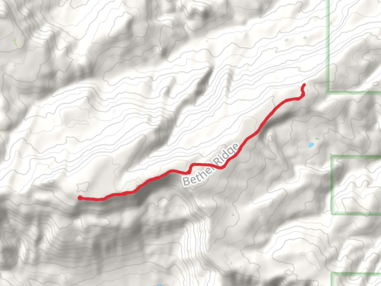
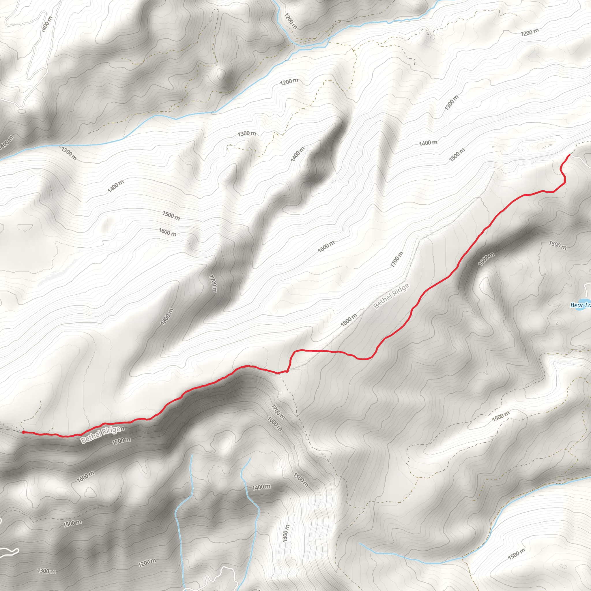
Starting near Yakima County, Washington, the Bethel Ridge Trail is an out-and-back trail that spans approximately 16 kilometers (10 miles) with an elevation gain of around 300 meters (984 feet). This trail is rated as medium difficulty, making it suitable for moderately experienced hikers.
Getting There To reach the trailhead, you can drive from Yakima, which is the nearest city. Head southeast on US-12 E for about 30 miles (48 kilometers) until you reach the turnoff for Bethel Ridge Road. Follow Bethel Ridge Road for approximately 10 miles (16 kilometers) until you reach the trailhead. Public transportation options are limited, so driving is the most practical way to get there.
Trail Overview The trail begins with a gentle ascent through a mixed forest of pine and fir trees. The first 2 kilometers (1.2 miles) are relatively easy, with a gradual elevation gain of about 50 meters (164 feet). This section is well-shaded, making it a pleasant start to your hike.
Mid-Trail Highlights As you continue, the trail opens up to a series of meadows around the 4-kilometer (2.5-mile) mark. These meadows are particularly beautiful in late spring and early summer when wildflowers such as lupines and Indian paintbrush are in full bloom. Keep an eye out for deer and elk, which are commonly seen grazing in these areas.
Around the 6-kilometer (3.7-mile) point, you'll encounter a more challenging section with a steeper incline, gaining approximately 100 meters (328 feet) in elevation over the next kilometer. This part of the trail offers stunning views of the surrounding valleys and distant mountain ranges, including glimpses of Mount Rainier on clear days.
Historical Significance Bethel Ridge has a rich history, having been used by Native American tribes for centuries as a hunting ground. The area was later explored by European settlers in the 19th century, and remnants of old logging roads can still be seen along the trail. These historical elements add an intriguing layer to your hiking experience.
Final Stretch The last 2 kilometers (1.2 miles) of the trail are relatively flat, leading you to the ridge's edge. Here, you'll find panoramic views of the Yakima Valley and the Cascade Range. This is an excellent spot for a rest and some photography before you begin your return journey.
Navigation and Safety Given the trail's moderate difficulty, it's advisable to use a reliable navigation tool like HiiKER to keep track of your progress and ensure you stay on the correct path. The trail is well-marked, but having a digital map can be very helpful, especially in the more remote sections.
Wildlife and Flora The Bethel Ridge Trail is home to a variety of wildlife, including black bears, so carrying bear spray is recommended. Birdwatchers will also enjoy spotting species like the northern goshawk and the mountain bluebird. The flora is equally diverse, with towering Douglas firs and ponderosa pines providing a lush canopy.
Preparation Tips Make sure to bring plenty of water, as there are no reliable water sources along the trail. Sturdy hiking boots are essential due to the rocky and uneven terrain in some sections. Weather can be unpredictable, so dressing in layers is advisable.
By following these guidelines and being well-prepared, you'll have a rewarding and enjoyable hike on the Bethel Ridge Trail.
What to expect?
Activity types
Comments and Reviews
User comments, reviews and discussions about the Bethel Ridge Trail, Washington.
4.57
average rating out of 5
7 rating(s)
