Download
Preview
Add to list
More
13.0 km
~4 hrs 27 min
1112 m
Out and Back
“Embark on the Tomyhoi Peak Trail's steep ascent to panoramic glory, traversing history, wildlife, and alpine blooms.”
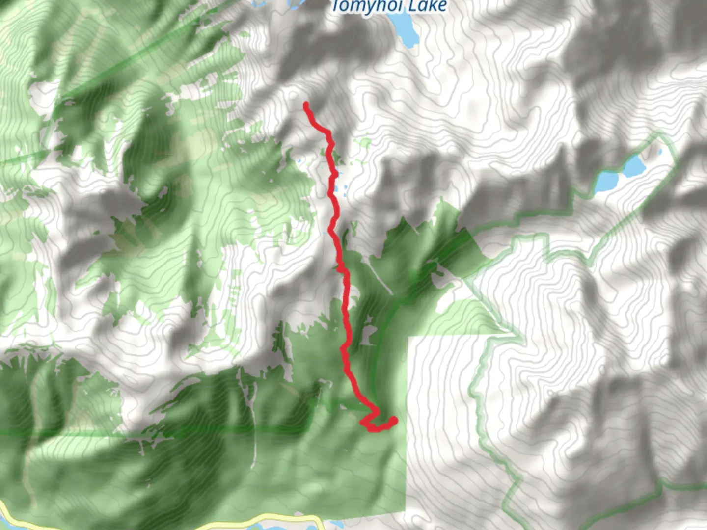
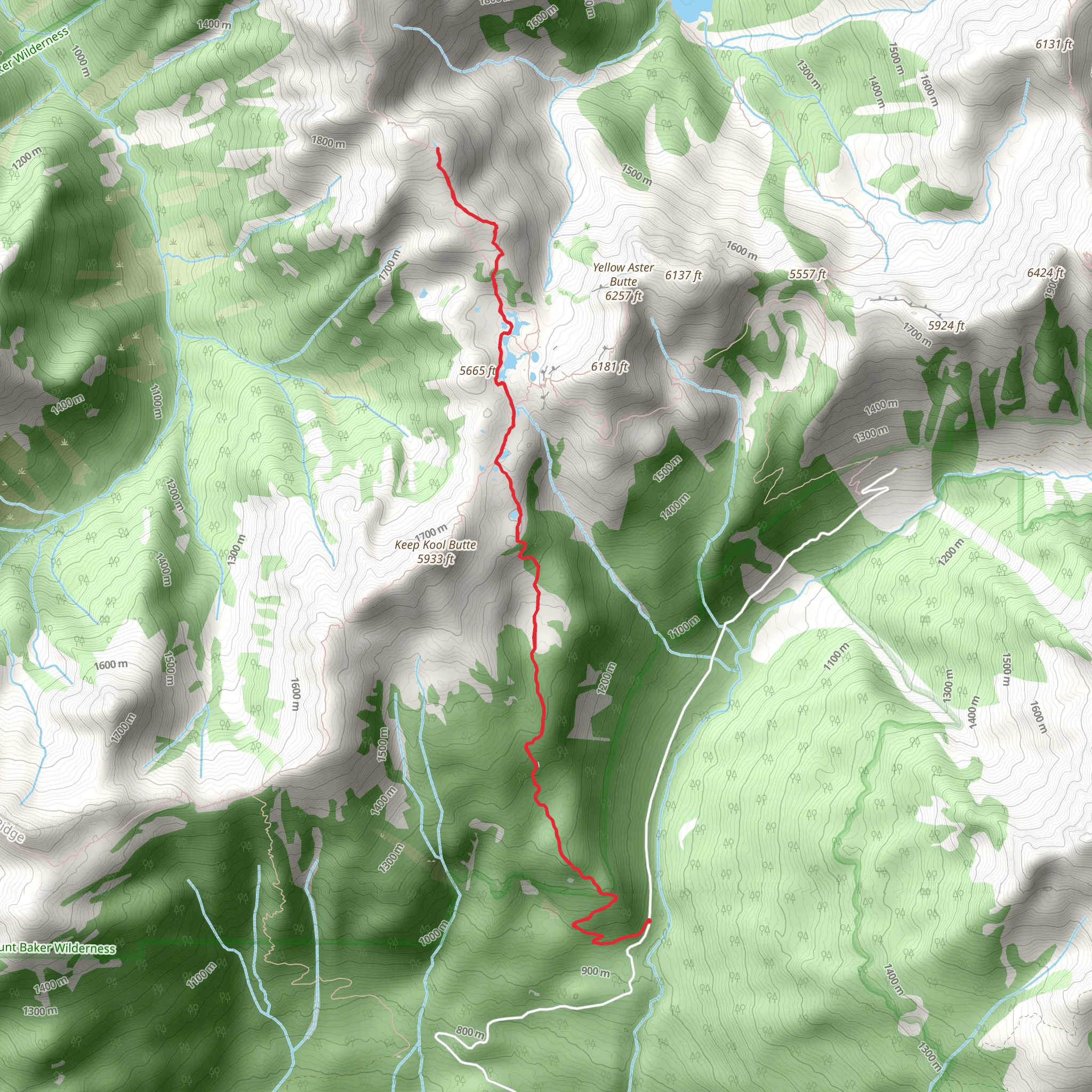
The Tomyhoi Peak Trail is a challenging yet rewarding hike located near Whatcom County, Washington, offering hikers around 13 kilometers (8 miles) of adventure with an elevation gain of approximately 1100 meters (3600 feet). This out-and-back trail is rated as medium difficulty, but don't let that fool you; it requires good physical fitness and proper preparation due to its steep and rugged terrain.### Getting to the TrailheadTo reach the trailhead, if you're driving, head east on Mount Baker Highway (SR-542) from Bellingham. After about 46 miles, turn left onto Twin Lakes Road (Forest Road 3065). The road is rough and may require a high-clearance vehicle. Continue for about 7 miles to the Tomyhoi Lake trailhead. For those relying on public transport, options are limited, and it's advisable to check local resources for the latest schedules and routes to the nearest stop, then arrange for a taxi or rideshare to the trailhead.### The Hike ItselfAs you embark on the Tomyhoi Peak Trail, the first section will take you through dense forest, with the canopy providing shade and the undergrowth offering a lush green landscape. The sound of Yellow Aster Creek accompanies you as you make your way up the trail. After about 2 miles, you'll reach the junction with the Yellow Aster Butte Trail. Keep left to stay on the Tomyhoi Peak Trail.The path becomes steeper and more challenging as you ascend, with rocky outcrops and switchbacks testing your endurance. At around the 4-mile mark, you'll emerge from the treeline, and the views will open up dramatically. Here, you'll be treated to sweeping vistas of the surrounding peaks and valleys.### Alpine Terrain and Final AscentOnce above the treeline, the terrain changes to alpine meadows dotted with wildflowers during the summer months. Mountain goats are often spotted in this area, so keep your camera ready while maintaining a safe distance from wildlife.The final push to the summit of Tomyhoi Peak is the most demanding part of the hike. The trail becomes less defined, and careful navigation is required. Using HiiKER to track your progress is advisable, as the path can be tricky to follow. The last section involves some scrambling; a helmet is recommended due to loose rocks and potential for falling debris.Upon reaching the summit, you'll be rewarded with panoramic views of Mount Baker, Mount Shuksan, and the Canadian Border Peaks. The sense of accomplishment, coupled with the breathtaking scenery, makes the strenuous hike worthwhile.### Historical SignificanceThe region around Tomyhoi Peak is steeped in history, with the area being part of the traditional territory of the Nooksack and other indigenous peoples. European exploration and settlement in the 19th century brought miners and loggers to the region, and the legacy of these industries can still be seen in the surrounding landscape.### Wildlife and NatureThe trail offers a chance to see a variety of wildlife, including black bears, pika, and marmots, in addition to the aforementioned mountain goats. Birdwatchers may also spot species such as the gray jay and Clark's nutcracker. The diverse flora ranges from dense forest undergrowth to delicate alpine flowers, reflecting the changing ecosystems as you ascend.### Preparation and SafetyProper preparation is key for the Tomyhoi Peak Trail. Ensure you have adequate water, food, and layers for changing weather conditions. A map and compass, along with HiiKER for digital navigation, are essential for route finding. Check the weather forecast before heading out, and be prepared to turn back if conditions deteriorate. It's also wise to inform someone of your plans and expected return time.Remember, the trail can be snow-covered well into the summer, and ice axes and crampons may be necessary for safe passage during these times. Always practice Leave No Trace principles to preserve the beauty and integrity of the wilderness.
What to expect?
Activity types
Comments and Reviews
User comments, reviews and discussions about the Tomyhoi Peak Trail - Short, Washington.
4.36
average rating out of 5
11 rating(s)
