Heliotrope Ridge Trail and Coleman Deming Route
Download
Preview
Add to list
More
15.6 km
~1 day 1 hrs
1823 m
Out and Back
“Embark on the Heliotrope Ridge Trail for stunning views, rich biodiversity, and a rewarding challenge.”
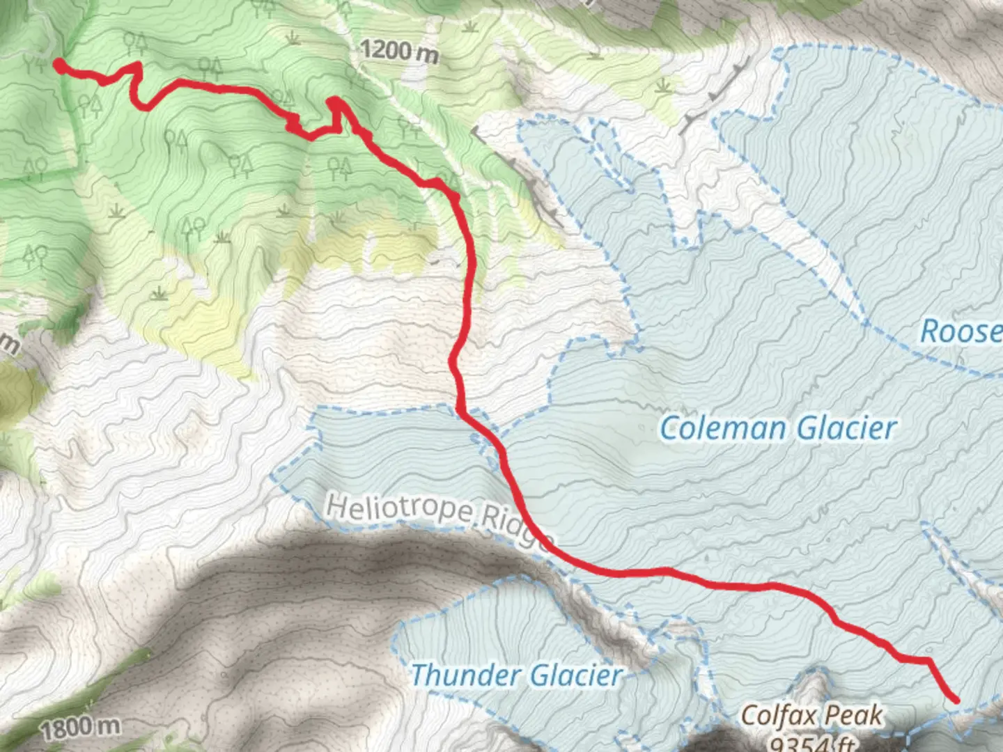
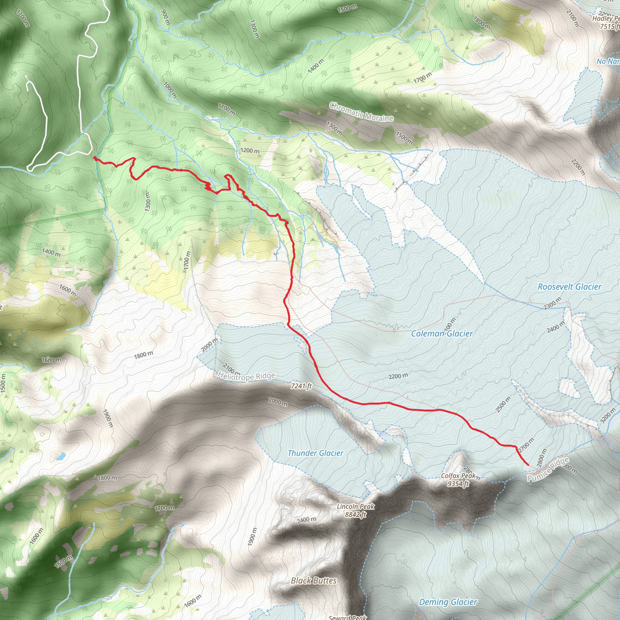
Starting your adventure near Whatcom County, Washington, the Heliotrope Ridge Trail and Coleman Deming Route offers a challenging yet rewarding experience. This out-and-back trail spans approximately 16 kilometers (10 miles) with an elevation gain of around 1800 meters (5905 feet). ### Getting There To reach the trailhead, drive to the Heliotrope Ridge Trailhead, located near the Mount Baker Highway (State Route 542). If you're using public transport, the nearest significant landmark is the town of Glacier, Washington. From Glacier, you may need to arrange a taxi or rideshare, as public transport options are limited.### Trail Overview The trail begins in a lush forest, with the first few kilometers (miles) offering a moderate ascent through dense stands of Douglas fir and western hemlock. As you progress, the trail becomes steeper and rockier, so sturdy hiking boots are recommended. ### Key Landmarks and Sections - Morrison Creek Crossing (2 km / 1.2 miles in): Early in the hike, you'll encounter Morrison Creek. Depending on the season, the water level can vary, so be prepared for a potentially tricky crossing. - Heliotrope Ridge (4 km / 2.5 miles in): As you ascend, you'll reach Heliotrope Ridge, offering panoramic views of the surrounding peaks and valleys. This is a great spot for a break and some photos. - Coleman Glacier Viewpoint (6 km / 3.7 miles in): Continuing onward, you'll come to a viewpoint overlooking the Coleman Glacier. The glacier's blue ice and crevasses are a sight to behold, but exercise caution as the terrain can be slippery.### Wildlife and Flora The trail is rich in biodiversity. Keep an eye out for black bears, mountain goats, and marmots. Birdwatchers will enjoy spotting species like the Clark's nutcracker and the varied thrush. The flora changes with elevation, transitioning from dense forest to alpine meadows filled with wildflowers in the summer months.### Historical Significance The area around Mount Baker has a rich history, with indigenous peoples having lived in the region for thousands of years. The mountain itself was named after British naval officer Joseph Baker, who sighted it in 1792. The trail and surrounding areas have been used for mountaineering and scientific research for over a century.### Navigation and Safety Given the trail's elevation gain and potential for rapidly changing weather, it's crucial to be well-prepared. Use the HiiKER app for real-time navigation and updates. Always check the weather forecast before setting out and carry essentials like a map, compass, and extra layers of clothing.### Final Ascent The final stretch to the Coleman Deming Route is the most challenging, with steep, rocky terrain and potential snowfields. Crampons and an ice axe may be necessary, especially in early summer or late fall. The views from the top are unparalleled, offering a sweeping panorama of the North Cascades and beyond.This trail is a true gem for those seeking a mix of natural beauty, physical challenge, and a touch of historical intrigue.
What to expect?
Activity types
Comments and Reviews
User comments, reviews and discussions about the Heliotrope Ridge Trail and Coleman Deming Route, Washington.
5.0
average rating out of 5
9 rating(s)
