Download
Preview
Add to list
More
8.9 km
~3 hrs 16 min
896 m
Loop
“Explore the Glacier View and Heliotrope Ridge Trail for stunning landscapes, historical intrigue, and physical challenge.”
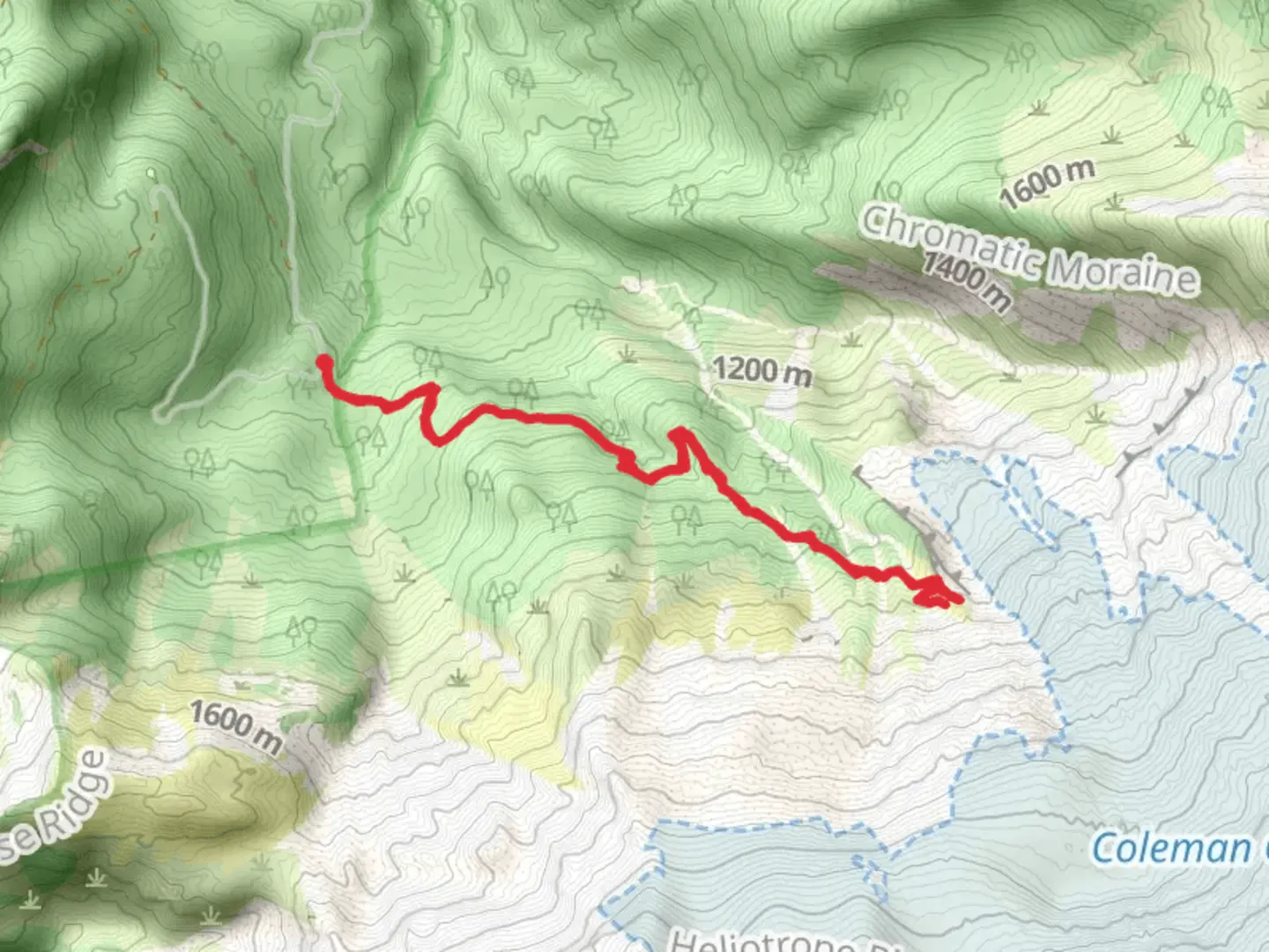
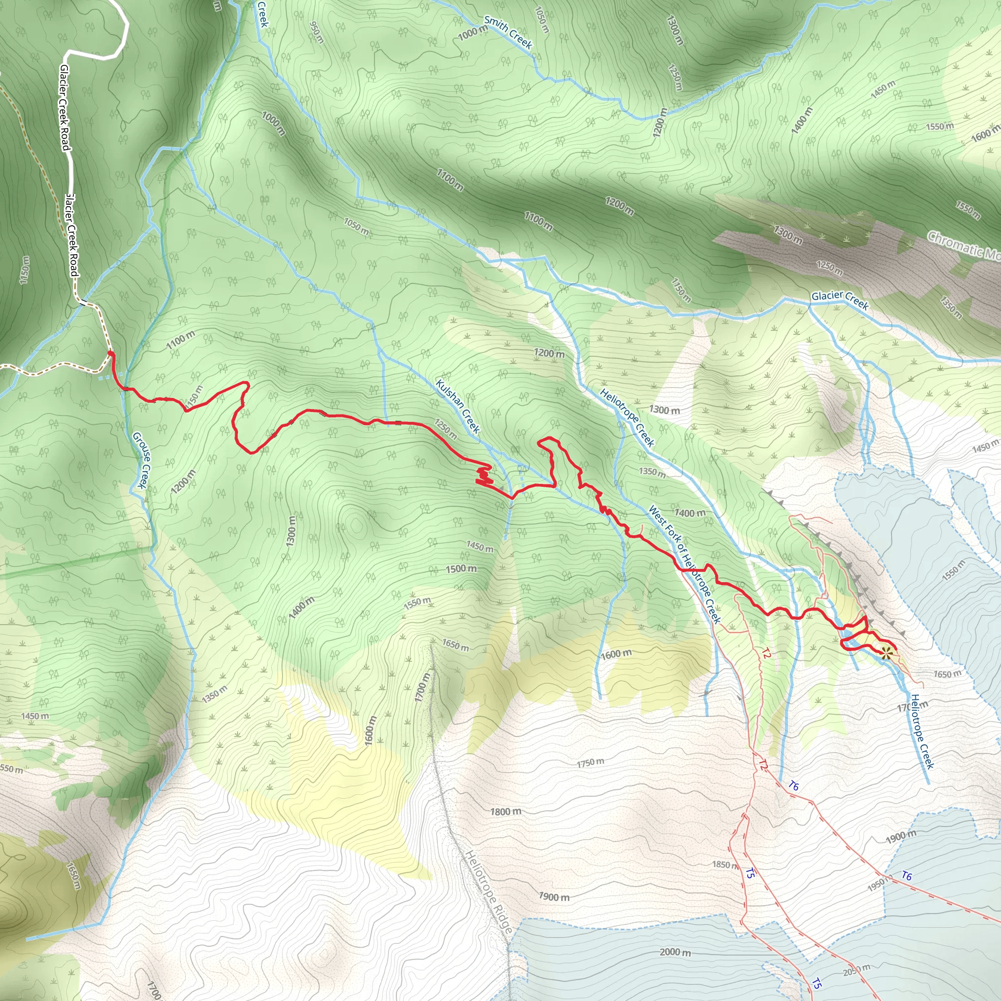
Starting your adventure near Whatcom County, Washington, the Glacier View and Heliotrope Ridge Trail offers a captivating 9 km (5.6 miles) loop with an elevation gain of approximately 800 meters (2,625 feet). This medium-difficulty trail is perfect for those looking to experience the stunning landscapes of the Pacific Northwest.### Getting There To reach the trailhead, you can drive or use public transportation. If driving, head towards the Mount Baker Highway (State Route 542) and follow signs to the Heliotrope Ridge Trailhead, located near the town of Glacier, Washington. For those using public transport, the nearest major city is Bellingham, where you can catch a bus to Glacier and then arrange for a local shuttle or taxi to the trailhead.### Trail Overview The trail begins in a lush forest, with towering trees and a dense canopy providing ample shade. As you start your ascent, you'll notice the terrain gradually becoming steeper. The first 2 km (1.2 miles) are relatively gentle, with an elevation gain of about 200 meters (656 feet), making it a good warm-up for the more challenging sections ahead.### Significant Landmarks and Nature Around the 3 km (1.9 miles) mark, you'll encounter the first significant landmark: a series of cascading waterfalls fed by glacial meltwater. These falls are a great spot to take a break and enjoy the natural beauty. Continuing on, the trail becomes rockier and more rugged, requiring careful footing.At approximately 4.5 km (2.8 miles), you'll reach the Hogsback Ridge. This section offers panoramic views of the surrounding mountains and valleys. On clear days, you can see Mount Baker's snow-capped peak in the distance. The ridge is also a prime location for spotting local wildlife, including marmots and mountain goats.### Historical Significance The area around Heliotrope Ridge has a rich history tied to early mountaineering and glacial studies. In the early 20th century, this region was a focal point for scientists studying glacial movements and their impact on the environment. The trail itself was used by early explorers and mountaineers as a route to higher elevations and more challenging climbs.### Final Ascent and Descent The final ascent to Heliotrope Ridge is the most strenuous part of the hike, with an elevation gain of about 400 meters (1,312 feet) over the last 2 km (1.2 miles). The trail here is narrow and steep, with loose rocks and occasional snow patches, even in summer. It's advisable to use trekking poles for added stability.Upon reaching the ridge, you'll be rewarded with breathtaking views of the Coleman Glacier. This is a perfect spot for photography and to take in the awe-inspiring scenery. The descent follows a different path, looping back towards the trailhead. The return journey is less steep but still requires careful navigation, especially in wet conditions.### Navigation and Safety For navigation, it's highly recommended to use the HiiKER app, which provides detailed maps and real-time updates. Ensure you have adequate water, snacks, and weather-appropriate clothing, as conditions can change rapidly in mountainous areas.The Glacier View and Heliotrope Ridge Trail offers a blend of natural beauty, historical significance, and physical challenge, making it a must-visit for any hiking enthusiast.
What to expect?
Activity types
Comments and Reviews
User comments, reviews and discussions about the Glacier View and Heliotrope Ridge Trail, Washington.
4.36
average rating out of 5
14 rating(s)
