Download
Preview
Add to list
More
21.8 km
~4 hrs 26 min
52 m
Point-to-Point
“The Yelm Tenino Trail offers a scenic, flat 22-kilometer hike through lush landscapes and historic sites.”
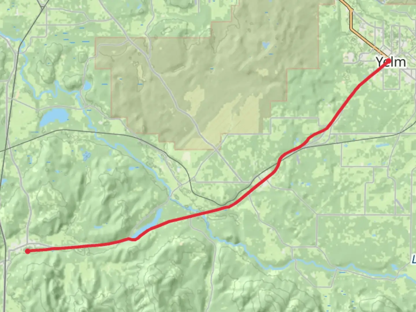
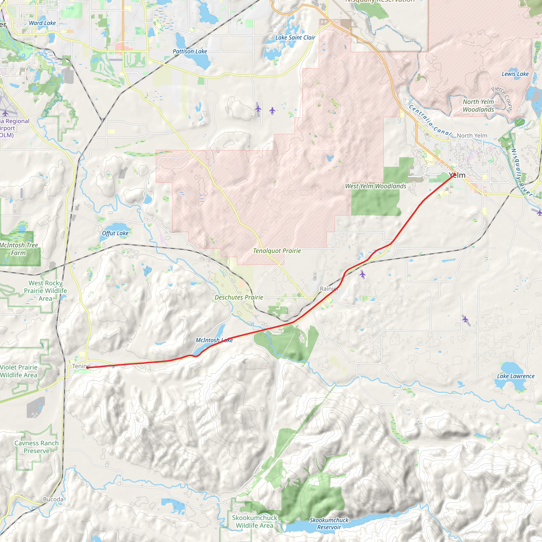
Starting near Thurston County, Washington, the Yelm Tenino Trail stretches approximately 22 kilometers (about 13.7 miles) with virtually no elevation gain, making it a relatively flat and accessible hike. This point-to-point trail is estimated to be of medium difficulty, suitable for hikers of various skill levels.### Getting There To reach the trailhead, you can drive or use public transport. If driving, head towards Yelm, Washington. The nearest significant landmark is the Yelm City Park, located at 115 Mosman Ave SE, Yelm, WA 98597. For those using public transport, buses from Olympia or Tacoma can get you to Yelm, where you can start your hike.### Trail Overview The Yelm Tenino Trail is a converted rail-trail, which means it follows the path of a former railway line. This makes for a smooth, wide path that is ideal for hiking, biking, and even horseback riding. The trail is well-maintained and marked, making navigation straightforward. For detailed navigation, consider using the HiiKER app to stay on track.### Significant Landmarks and Nature As you begin your hike from Yelm, you'll pass through a variety of landscapes, including lush forests, open fields, and wetlands. The trail is rich in flora and fauna, so keep an eye out for local wildlife such as deer, rabbits, and a variety of bird species. Around the 5-kilometer (3.1-mile) mark, you'll come across the Deschutes River, a serene spot perfect for a short break. The river is a great place for birdwatching, especially during the early morning hours.### Historical Significance The trail has historical significance as it follows the route of the old Northern Pacific Railway, which was crucial for the development of the region in the late 19th and early 20th centuries. Along the way, you might notice remnants of the old railway infrastructure, including bridges and mile markers.### Mid-Trail Highlights At approximately 11 kilometers (6.8 miles), you'll reach the town of Rainier. This small town offers a few amenities such as restrooms, picnic areas, and local eateries where you can refuel. Rainier is also home to the Rainier Historical Society Museum, which provides insights into the local history and the railway's impact on the area.### Final Stretch Continuing from Rainier, the trail heads towards Tenino. The last 11 kilometers (6.8 miles) are equally scenic, with more forested areas and open fields. As you approach Tenino, you'll pass by the Tenino City Park, located at 399 Park Ave E, Tenino, WA 98589. This park is a great place to relax and reflect on your hike.### Wildlife and Flora Throughout the trail, you'll encounter a variety of native plants, including Douglas firs, western red cedars, and Oregon grape. The wetlands sections are particularly rich in biodiversity, offering a chance to see amphibians and waterfowl.### End of the Trail The trail concludes in Tenino, a town known for its sandstone quarries and historical buildings. The Tenino Depot Museum, located near the trail's end, is worth a visit to learn more about the area's rich history.### Practical Tips - Bring plenty of water and snacks, as amenities are sparse between Yelm and Rainier. - Wear comfortable hiking shoes suitable for a flat, long-distance walk. - Check the weather forecast and dress accordingly, as the trail is exposed in some sections. - Use the HiiKER app for real-time navigation and updates on trail conditions.This trail offers a blend of natural beauty, historical significance, and small-town charm, making it a rewarding experience for any hiker.
What to expect?
Activity types
Comments and Reviews
User comments, reviews and discussions about the Yelm Tenino Trail, Washington.
4.62
average rating out of 5
13 rating(s)
