Download
Preview
Add to list
More
34.4 km
~1 day 4 hrs
1459 m
Loop
“Embark on the Mima Falls West, Lost Valley, and McKenny Loop for 34 km of scenic, moderate hiking.”
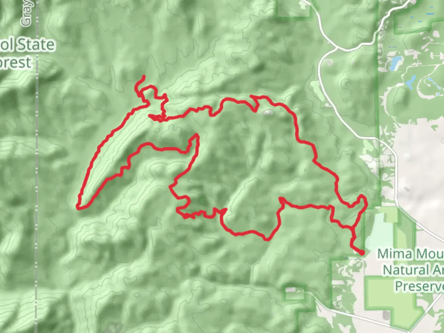
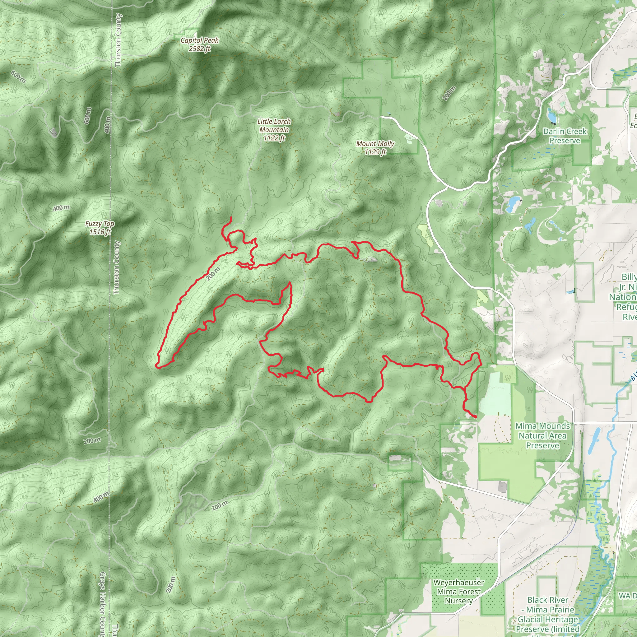
Starting near Thurston County, Washington, the Mima Falls West, Lost Valley, and McKenny Loop is a captivating 34 km (21 miles) loop trail with an elevation gain of approximately 1400 meters (4593 feet). This trail is rated as medium difficulty, making it suitable for moderately experienced hikers.
Getting There To reach the trailhead, you can drive or use public transport. If driving, head towards the Capitol State Forest, with the nearest significant landmark being the Mima Mounds Natural Area Preserve. For those using public transport, the closest major city is Olympia, Washington. From Olympia, you can take a bus to Littlerock, WA, and then a taxi or rideshare to the trailhead.
Trail Overview The trail begins near the Mima Mounds Natural Area Preserve, a site known for its mysterious and unique geological formations. As you start your hike, you'll traverse through dense forests of Douglas fir and western hemlock, providing ample shade and a serene atmosphere.
Mima Falls Approximately 5 km (3.1 miles) into the hike, you'll encounter Mima Falls, a picturesque waterfall that cascades down a series of rocky steps. This is a great spot for a short break and some photography. The elevation gain to this point is around 200 meters (656 feet).
Lost Valley Continuing on, the trail leads you into the Lost Valley, a secluded area rich in biodiversity. Here, you might spot black-tailed deer, various bird species, and even the occasional black bear. The valley is also home to several small streams, which can be crossed via well-maintained footbridges. This section of the trail is relatively flat, making it a pleasant walk through lush greenery.
McKenny Trail As you approach the McKenny Trail section, the terrain becomes more challenging with steeper inclines. This part of the trail offers panoramic views of the surrounding forest and distant mountains. The elevation gain here is more significant, adding another 400 meters (1312 feet) over a stretch of 8 km (5 miles).
Historical Significance The area around the trail has historical significance, particularly related to the indigenous tribes who once inhabited the region. Artifacts and old campgrounds have been found, indicating that this area was a vital part of their seasonal migration routes.
Navigation and Safety Given the trail's length and varying terrain, it's advisable to use a reliable navigation tool like HiiKER to keep track of your progress and ensure you stay on the correct path. The trail is well-marked, but having a digital map can be incredibly useful, especially in the more remote sections.
Final Stretch The final stretch of the loop brings you back through a series of switchbacks and gentle descents, eventually leading you back to the trailhead. This section is less strenuous, allowing you to enjoy the final moments of your hike without too much effort.
Wildlife and Flora Throughout the hike, keep an eye out for the diverse flora and fauna. The trail is home to various species of ferns, mosses, and wildflowers, particularly vibrant in the spring and early summer. Wildlife sightings are common, so carrying a pair of binoculars can enhance your experience.
This trail offers a mix of natural beauty, moderate challenges, and historical intrigue, making it a rewarding experience for those willing to take on its 34 km (21 miles) loop.
What to expect?
Activity types
Comments and Reviews
User comments, reviews and discussions about the Mima Falls West, Lost Valley and McKenny Loop, Washington.
4.7
average rating out of 5
10 rating(s)
