Download
Preview
Add to list
More
10.1 km
~2 hrs 39 min
374 m
Loop
“Explore the scenic Mima Falls East Loop: 10 km of lush forest, waterfalls, and intriguing geological formations.”
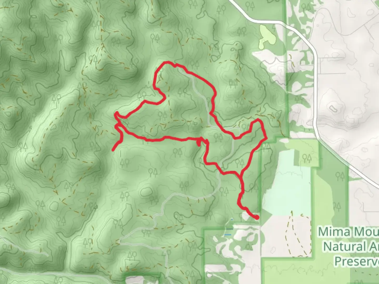
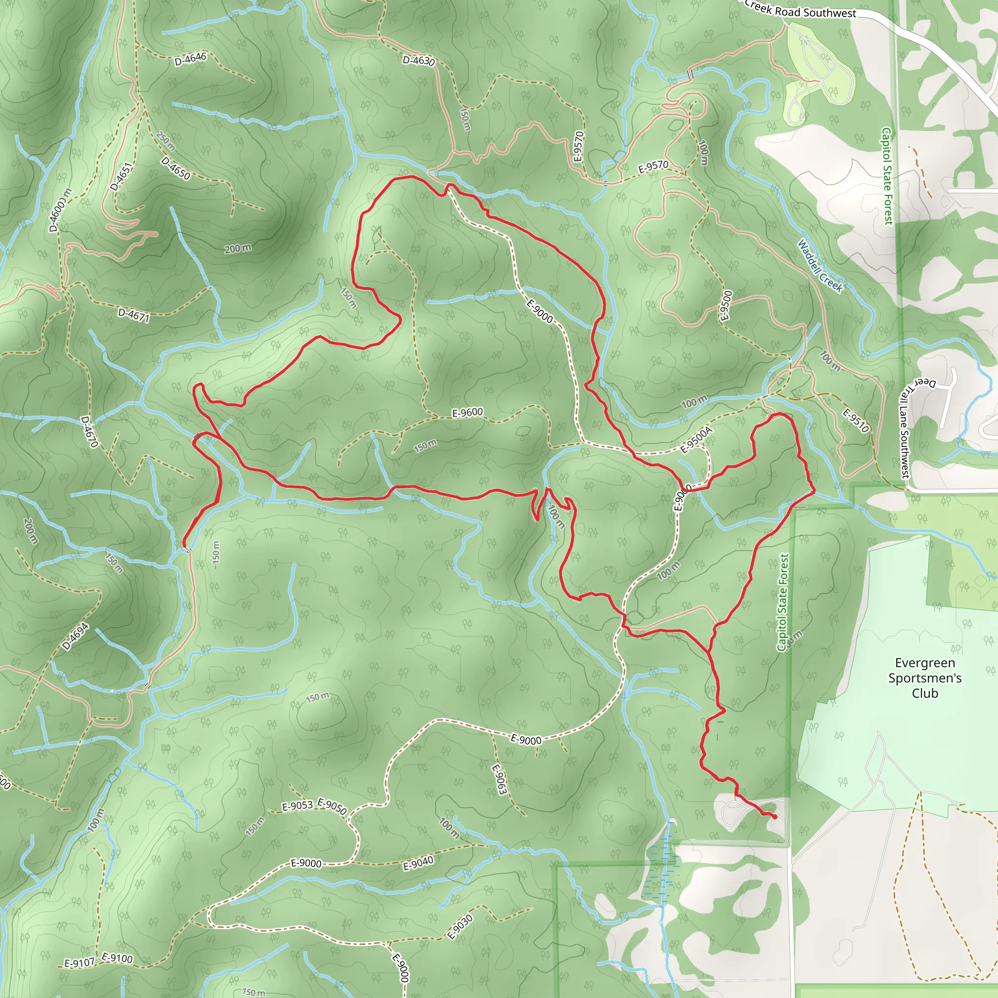
Starting near Thurston County, Washington, the Mima Falls East and Campground Loop is a scenic 10 km (6.2 miles) loop trail with an elevation gain of approximately 300 meters (984 feet). This trail is rated as medium difficulty, making it suitable for moderately experienced hikers.
Getting There To reach the trailhead, you can drive or use public transport. If driving, head towards the Mima Falls Trailhead, located near the intersection of Bordeaux Road SW and Marksman Street SW. For those using public transport, the nearest significant landmark is the town of Littlerock, Washington. From Littlerock, you can take a local taxi or rideshare service to the trailhead.
Trail Overview The trail begins with a gentle ascent through a lush forest of Douglas firs and western hemlocks. The first 2 km (1.2 miles) are relatively easy, with a gradual elevation gain of about 50 meters (164 feet). As you hike, keep an eye out for the diverse flora, including ferns and mosses that carpet the forest floor.
Significant Landmarks At approximately 3 km (1.9 miles) into the hike, you'll encounter the first significant landmark: Mima Falls. This picturesque waterfall is a great spot to take a break and enjoy the serene surroundings. The falls are particularly impressive after a period of rain, when the water flow is at its peak.
Continuing on, the trail becomes steeper, gaining another 150 meters (492 feet) in elevation over the next 2 km (1.2 miles). This section can be challenging, so take your time and enjoy the views of the surrounding forest.
Wildlife and Nature The area is home to a variety of wildlife, including deer, raccoons, and numerous bird species. If you're lucky, you might spot a bald eagle soaring overhead. The trail also passes through several meadows, which are particularly beautiful in the spring when wildflowers are in bloom.
Historical Significance The region around Mima Falls is known for its unique geological formations called Mima Mounds. These mysterious, dome-shaped mounds have puzzled scientists for years, and several theories exist about their origin. As you hike, you'll pass by some of these mounds, adding an element of intrigue to your journey.
Navigation For navigation, it's highly recommended to use the HiiKER app, which provides detailed maps and real-time updates. The trail is well-marked, but having a reliable navigation tool can enhance your hiking experience and ensure you stay on the right path.
Final Stretch The final 3 km (1.9 miles) of the loop trail are a gentle descent back to the trailhead. This section offers more opportunities to enjoy the forest scenery and perhaps spot some additional wildlife. The trail eventually leads you back to the starting point, completing the loop.
This hike offers a mix of natural beauty, moderate physical challenge, and a touch of historical intrigue, making it a rewarding experience for those who venture out.
What to expect?
Activity types
Comments and Reviews
User comments, reviews and discussions about the Mima Falls East and Campground Loop, Washington.
4.4
average rating out of 5
15 rating(s)
