Download
Preview
Add to list
More
20.0 km
~1 day 0 hrs
823 m
Loop
“The McKenny and Mima Falls West loop offers stunning views, moderate challenge, and rich historical intrigue.”
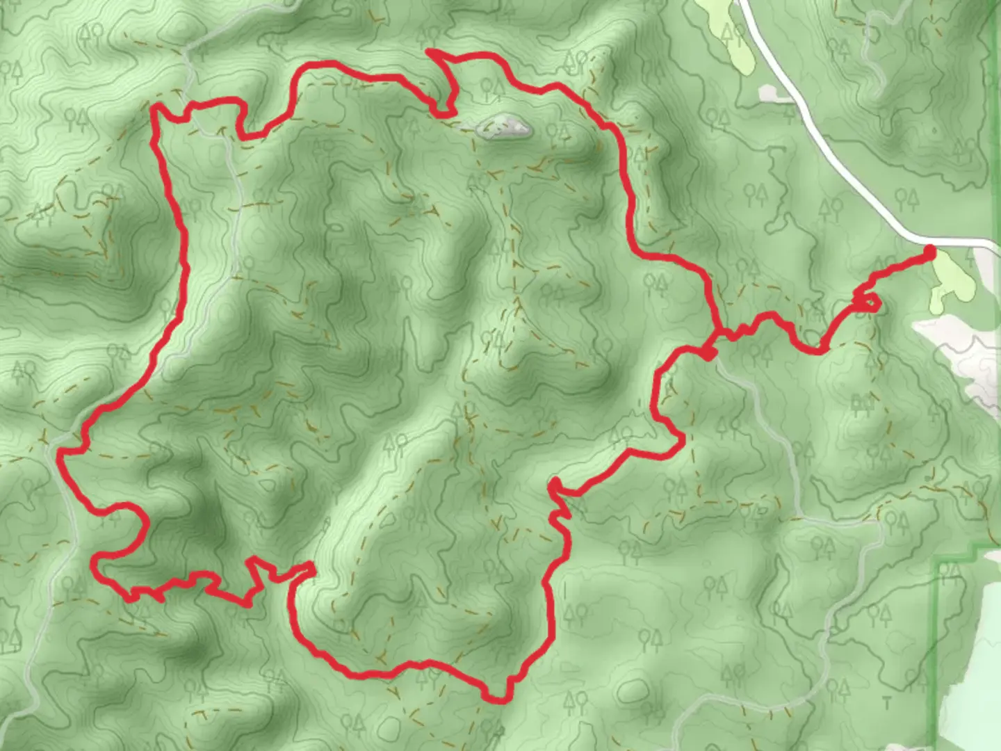
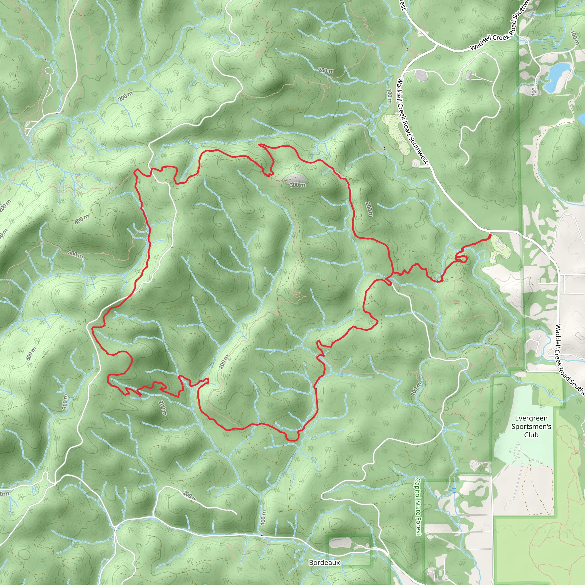
Starting near Thurston County, Washington, the McKenny and Mima Falls West loop is a captivating 20 km (12.4 miles) trail with an elevation gain of approximately 800 meters (2,625 feet). This loop trail is rated as medium difficulty, making it suitable for moderately experienced hikers.
Getting There To reach the trailhead, you can drive or use public transport. If driving, head towards the Capitol State Forest, with the nearest significant landmark being the Mima Mounds Natural Area Preserve. For those using public transport, the closest bus stop is in Olympia, Washington. From there, you may need to arrange a taxi or rideshare to the trailhead, as public transport options directly to the trailhead are limited.
Trail Overview The trail begins with a gentle ascent through dense forest, offering a mix of Douglas fir, western hemlock, and red cedar. Early on, you'll encounter the serene McKenny Creek, a perfect spot for a brief rest and some photos. The first 5 km (3.1 miles) of the trail are relatively easy, with an elevation gain of about 200 meters (656 feet).
Key Landmarks and Sections #### Mima Falls Around the 7 km (4.3 miles) mark, you'll reach Mima Falls, a picturesque waterfall that cascades down a series of rocky steps. This is an ideal spot for a longer break, allowing you to enjoy the natural beauty and perhaps have a snack. The elevation gain to this point is around 400 meters (1,312 feet).
#### Historical Significance The area around Mima Falls is rich in history. The Mima Mounds, located nearby, are a geological mystery with various theories about their formation, ranging from seismic activity to glacial processes. These mounds are a significant landmark and worth a visit either before or after your hike.
Wildlife and Flora As you continue, the trail meanders through lush undergrowth and towering trees. Keep an eye out for local wildlife, including black-tailed deer, various bird species, and occasionally, black bears. The flora is equally impressive, with seasonal wildflowers adding splashes of color to the landscape.
Navigation and Safety The trail is well-marked, but it's always wise to carry a reliable navigation tool. HiiKER is an excellent app for this purpose, providing detailed maps and real-time location tracking. The trail can be muddy and slippery, especially after rain, so sturdy hiking boots are recommended.
Final Stretch The last 5 km (3.1 miles) of the loop involve a descent back towards the trailhead, with an elevation loss of about 200 meters (656 feet). This section offers more open views, allowing you to appreciate the expansive forest landscape.
Practical Tips - **Water and Snacks:** Ensure you carry enough water and high-energy snacks. - **Clothing:** Dress in layers, as the weather can change rapidly. - **Permits:** Check if you need a Discover Pass for parking.
This trail offers a blend of natural beauty, moderate challenge, and historical intrigue, making it a rewarding experience for any hiker.
What to expect?
Activity types
Comments and Reviews
User comments, reviews and discussions about the McKenny and Mima Falls West loop, Washington.
4.7
average rating out of 5
10 rating(s)
