Download
Preview
Add to list
More
33.7 km
~1 day 2 hrs
183 m
Point-to-Point
“The Chehalis Western Trail offers scenic, diverse landscapes and historical insights, accessible for medium-difficulty hikers.”
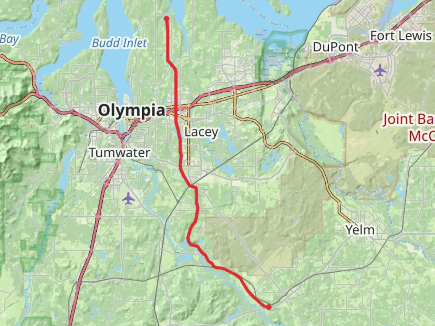
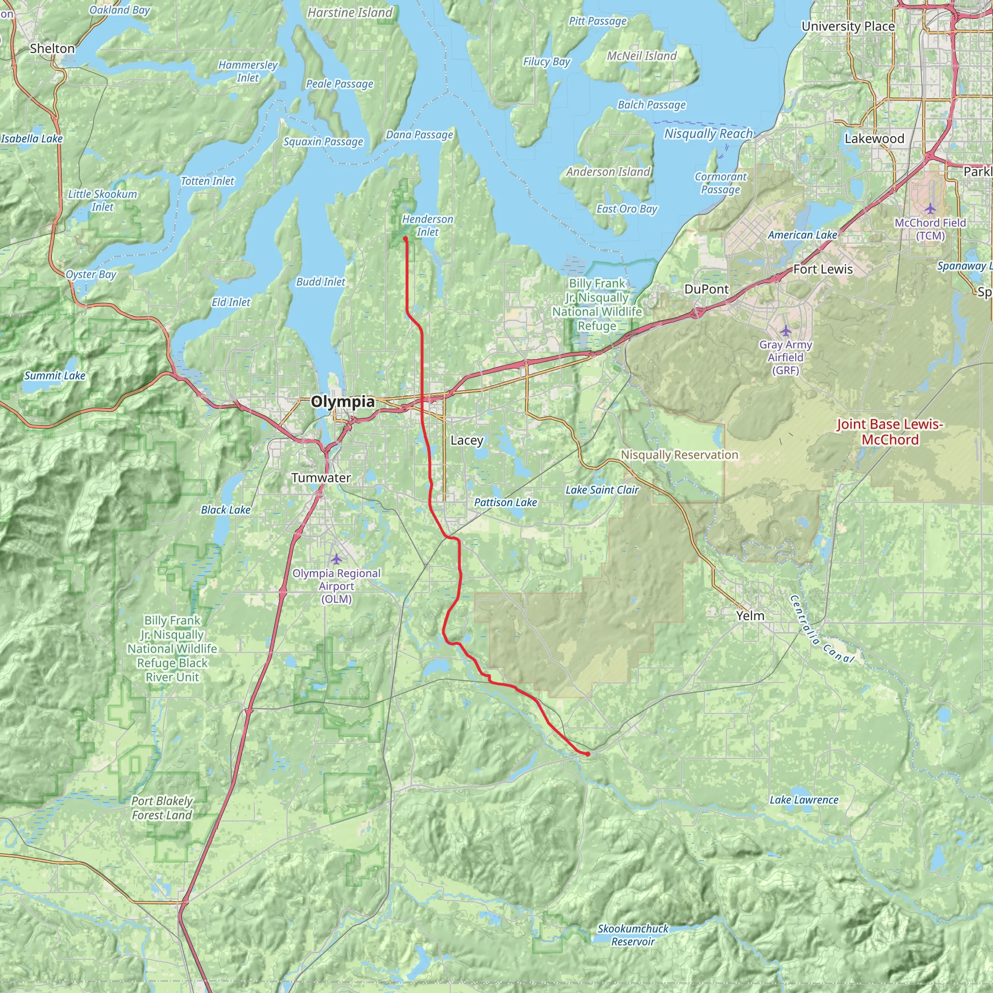
The Chehalis Western Trail stretches approximately 34 kilometers (21 miles) from near Thurston County, Washington, offering a point-to-point journey through diverse landscapes. With an elevation gain of around 100 meters (328 feet), this trail is estimated to be of medium difficulty, making it accessible for a wide range of hikers.
Getting There To reach the trailhead, you can drive or use public transportation. If driving, head towards the intersection of Martin Way E and Dutterow Rd SE in Lacey, Washington, which is a convenient starting point. For those using public transport, the Intercity Transit bus service provides routes that stop near Martin Way E, making it a viable option for accessing the trailhead.
Trail Overview The Chehalis Western Trail is a former railroad corridor, now transformed into a scenic pathway that meanders through forests, wetlands, and rural landscapes. The trail is well-maintained and primarily flat, with a gentle elevation gain that makes it suitable for both novice and experienced hikers.
Key Landmarks and Sections
#### Woodland and Wetlands Starting from the northern trailhead near Lacey, the first few kilometers (miles) take you through lush woodlands and serene wetlands. This section is rich in biodiversity, with opportunities to spot various bird species, including herons and eagles. The wetlands are particularly vibrant in the spring and early summer, offering a picturesque start to your hike.
#### Historical Significance As you continue southward, you'll pass through areas that hold historical significance. The trail follows the route of the old Chehalis Western Railroad, which played a crucial role in the logging industry during the early 20th century. Informational plaques along the way provide insights into the region's logging history and the transformation of the railroad into a recreational trail.
#### Rural Landscapes Around the halfway mark, approximately 17 kilometers (10.5 miles) in, the trail opens up to more rural landscapes. Here, you'll encounter open fields and farmlands, offering expansive views and a change of scenery. This section is relatively flat and provides a peaceful, pastoral experience.
#### Bridges and Waterways One of the highlights of the Chehalis Western Trail is the series of bridges that cross over various waterways. Notable among these is the bridge over the Deschutes River, located roughly 24 kilometers (15 miles) from the start. The views from the bridge are stunning, with the river flowing beneath and the surrounding forest creating a tranquil backdrop.
Wildlife and Flora The trail is home to a diverse array of wildlife. Deer, raccoons, and even the occasional black bear can be spotted along the route. The flora varies from dense coniferous forests to open meadows filled with wildflowers, especially vibrant in the spring and summer months.
Navigation and Safety For navigation, it's recommended to use the HiiKER app, which provides detailed maps and real-time updates. The trail is well-marked, but having a reliable navigation tool ensures you stay on track and can plan rest stops or detours effectively.
Final Stretch As you approach the southern end of the trail near the town of Rainier, the landscape transitions back into forested areas. The final kilometers (miles) offer a serene conclusion to your hike, with the trailhead located near the intersection of Rainier Rd SE and 133rd Ave SE.
The Chehalis Western Trail offers a blend of natural beauty, historical significance, and diverse landscapes, making it a rewarding experience for hikers of all levels.
What to expect?
Activity types
Comments and Reviews
User comments, reviews and discussions about the Chehalis Western Trail, Washington.
4.38
average rating out of 5
16 rating(s)
