Download
Preview
Add to list
More
8.2 km
~1 hrs 40 min
22 m
Loop
“The Smokey Point Airport Trail offers an accessible, scenic 8-kilometer loop rich in wildlife and history.”
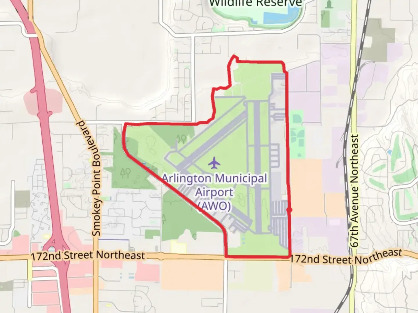
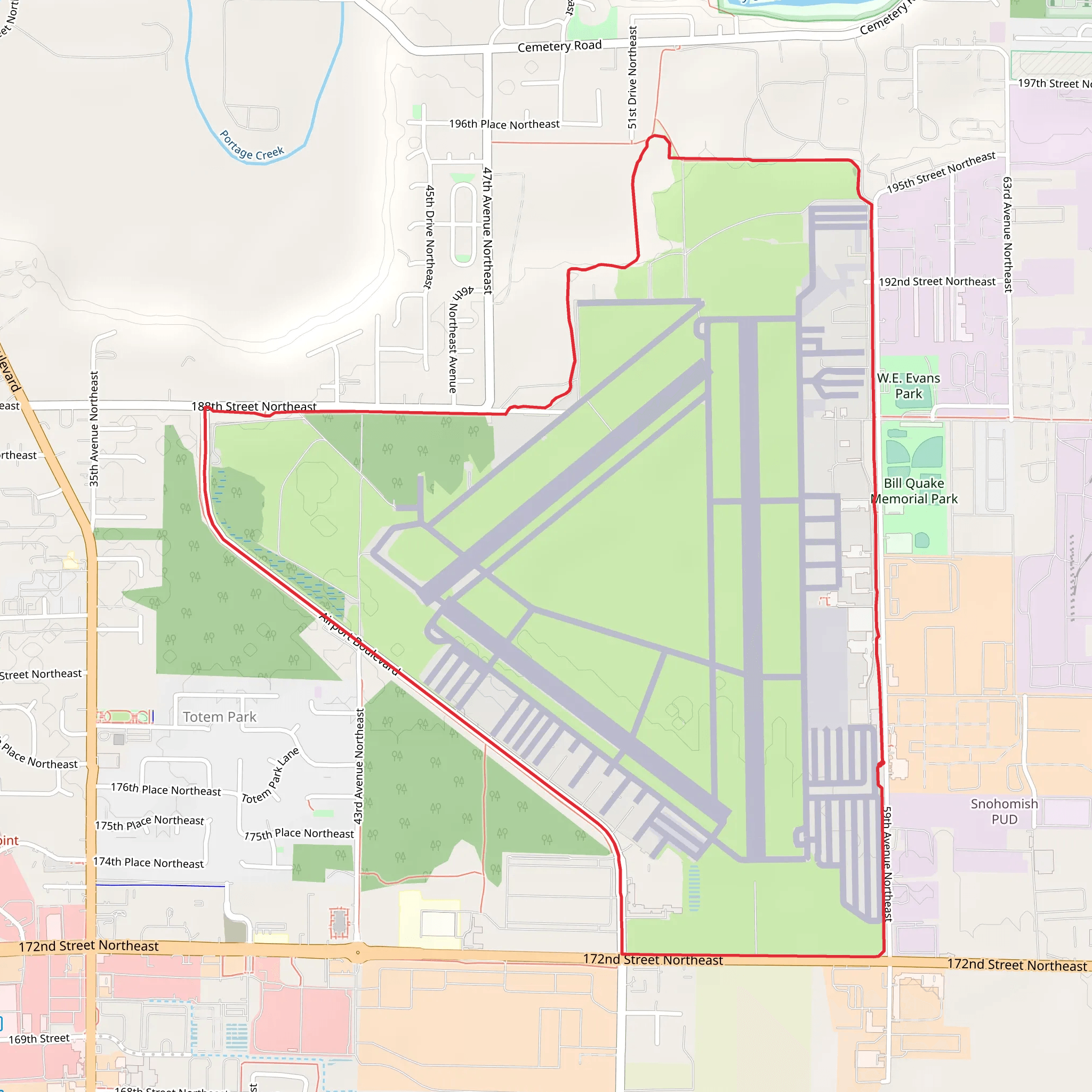
Starting near Snohomish County, Washington, the Smokey Point Airport Trail is a loop trail that spans approximately 8 kilometers (around 5 miles) with virtually no elevation gain, making it accessible for a wide range of hikers. The trailhead is conveniently located near the Smokey Point area, which is easily accessible by car. For those using public transport, the nearest significant landmark is the Smokey Point Transit Center, from where you can take a short taxi or rideshare service to the trailhead.
Getting There If you're driving, take I-5 and exit at Smokey Point (Exit 206). From there, head east on 172nd Street NE until you reach Smokey Point Boulevard. Turn left and continue until you reach the trailhead parking area. The parking area is well-marked and offers ample space for vehicles.
Trail Overview The Smokey Point Airport Trail is a medium-difficulty loop trail that offers a unique blend of natural beauty and historical significance. The trail is mostly flat, making it suitable for families and casual hikers. The path is well-maintained and clearly marked, but it's always a good idea to have a reliable navigation tool like HiiKER to ensure you stay on track.
Points of Interest - **Wildlife and Flora:** The trail meanders through a variety of ecosystems, including wetlands, meadows, and forested areas. Keep an eye out for local wildlife such as deer, rabbits, and a variety of bird species. The wetlands are particularly rich in birdlife, so bringing a pair of binoculars could enhance your experience. - **Historical Significance:** The area around Smokey Point has a rich history, particularly related to its use as an airfield during World War II. While the airfield is no longer operational, remnants of its past can still be seen along the trail. Informational plaques provide context and historical background, making this hike both educational and enjoyable. - **Scenic Views:** Although the trail is relatively flat, it offers several scenic viewpoints where you can take in the beauty of the surrounding landscape. These spots are perfect for a quick rest or a picnic.
Trail Conditions The trail surface is a mix of packed dirt and gravel, making it suitable for most types of footwear. However, after heavy rains, some sections can become muddy, so waterproof hiking boots are recommended during the wetter months. There are also a few wooden boardwalks that cross over wetter areas, which can be slippery when wet.
Facilities There are a few rest areas along the trail equipped with benches and informational signs. However, there are no restroom facilities directly on the trail, so plan accordingly. The nearest restrooms are located at the trailhead parking area.
Safety Tips - **Navigation:** While the trail is well-marked, using a navigation tool like HiiKER can help you stay on course and provide additional information about the trail. - **Weather:** The weather in this region can be unpredictable, so it's advisable to check the forecast before heading out. Dress in layers and bring a rain jacket, especially during the fall and winter months. - **Wildlife:** While encounters with wildlife are generally safe, it's always best to observe animals from a distance and avoid feeding them.
Final Preparations Before setting out, make sure to pack enough water and snacks for the hike. A small first-aid kit is also a good idea, along with a map or a navigation tool like HiiKER. The trail is a loop, so you'll end up back at the starting point, making it easy to plan your day around this hike.
Enjoy your hike on the Smokey Point Airport Trail, where natural beauty and historical intrigue come together to offer a memorable outdoor experience.
What to expect?
Activity types
Comments and Reviews
User comments, reviews and discussions about the Smokey Point Airport Trail, Washington.
4.69
average rating out of 5
13 rating(s)
