Download
Preview
Add to list
More
4.6 km
~1 hrs 20 min
256 m
Loop
“Experience a rewarding 5 km hike blending history, natural beauty, and moderate challenge in Snohomish County.”
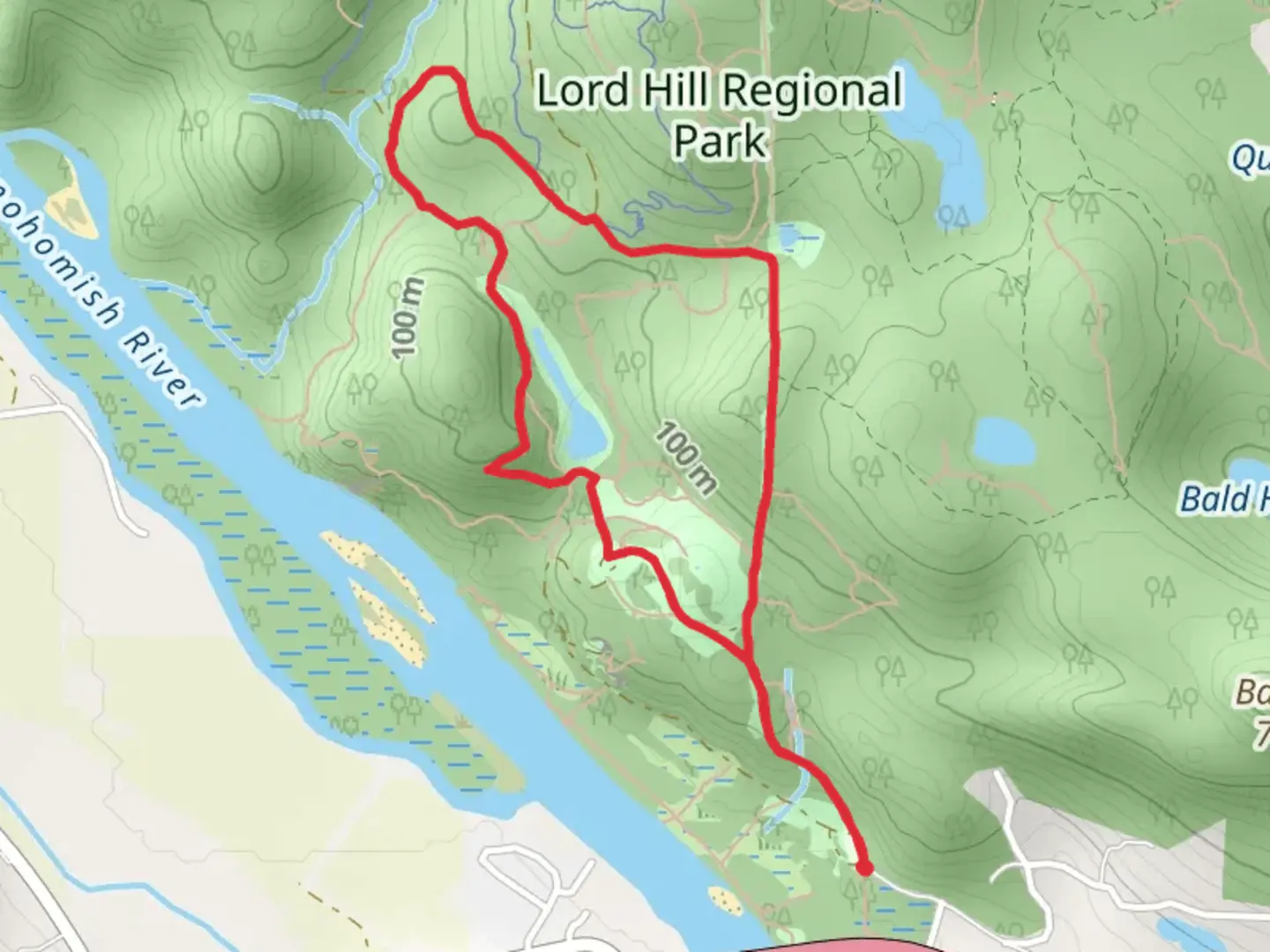
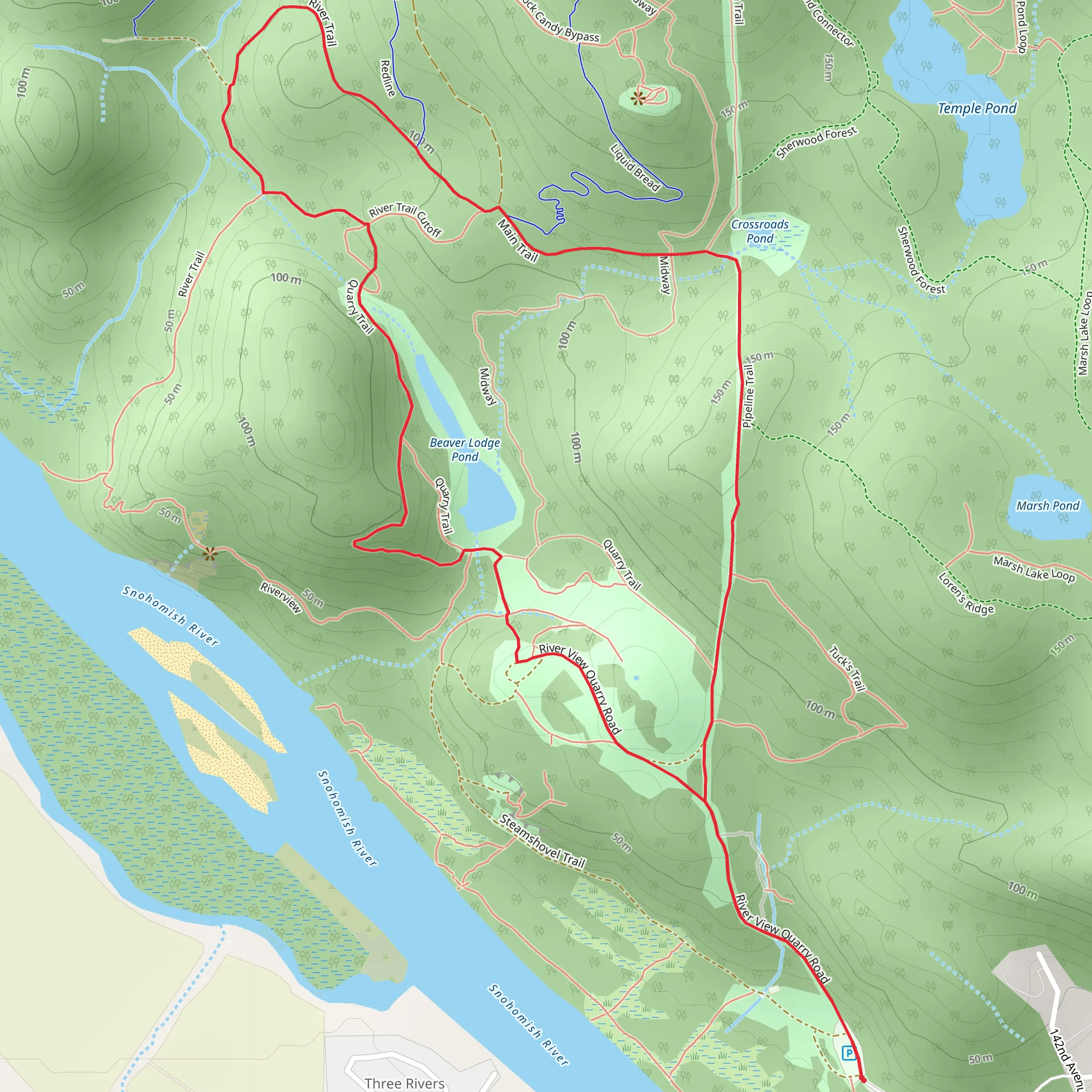
Starting near Snohomish County, Washington, the Quarry Trail and Pipeline Trail loop offers a moderately challenging hike of around 5 km (3.1 miles) with an elevation gain of approximately 200 meters (656 feet). This trail is perfect for those looking to experience a mix of historical significance, natural beauty, and a bit of a workout.### Getting There To reach the trailhead, you can drive or use public transportation. If driving, head towards the nearest known address, which is the Snohomish County Centennial Trailhead at 32328 Mountain Loop Highway, Granite Falls, WA 98252. From there, follow local signage to the Quarry Trail and Pipeline Trail loop. For those using public transport, take a bus to Granite Falls and then a short taxi or rideshare to the trailhead.### Trail Overview The loop begins with a gentle ascent through a dense forest of Douglas fir and western hemlock. The initial 1 km (0.6 miles) is relatively easy, allowing you to acclimate to the surroundings. As you continue, the trail becomes steeper, gaining about 100 meters (328 feet) in elevation over the next 1.5 km (0.9 miles). This section can be a bit strenuous, so take your time and enjoy the lush greenery and occasional wildlife sightings, such as deer and various bird species.### Historical Significance Around the 2.5 km (1.5 miles) mark, you'll come across remnants of old quarry operations. This area was historically significant for its role in providing materials for local construction projects in the early 20th century. Look out for old machinery and informational plaques that provide context about the quarry's history and its impact on the region.### Scenic Highlights As you reach the highest point of the trail, approximately 3 km (1.9 miles) in, you'll be rewarded with panoramic views of the surrounding Snohomish County landscape. On clear days, you can see as far as the Cascade Range. This is a great spot to take a break, hydrate, and snap some photos.### Wildlife and Flora Descending from the peak, the trail meanders through a mixed forest and open meadows. This section is particularly rich in flora, including wildflowers in the spring and summer months. Keep an eye out for local wildlife, such as black bears and bobcats, although they are generally shy and avoid human contact.### Navigation and Safety The trail is well-marked, but it's always a good idea to have a reliable navigation tool. Use HiiKER to download the trail map and keep track of your progress. The descent is gradual, covering the remaining 2 km (1.2 miles) back to the trailhead. Be cautious of loose rocks and muddy patches, especially after rain.### Final Stretch The last stretch of the trail takes you through a serene forested area, eventually looping back to the starting point. This section is relatively flat and provides a relaxing end to your hike. As you approach the trailhead, you'll pass by a small creek, a perfect spot to cool down and reflect on your journey.This loop trail offers a balanced mix of physical challenge, historical intrigue, and natural beauty, making it a rewarding experience for hikers of all levels.
What to expect?
Activity types
Comments and Reviews
User comments, reviews and discussions about the Quarry Trail and Pipeline Trail, Washington.
4.64
average rating out of 5
14 rating(s)
