Download
Preview
Add to list
More
12.5 km
~4 hrs 58 min
1482 m
Out and Back
“Embark on the challenging Mount Dickerman Trail for stunning views and rich history near Snohomish County.”
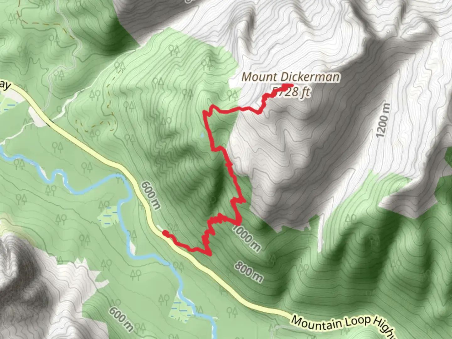
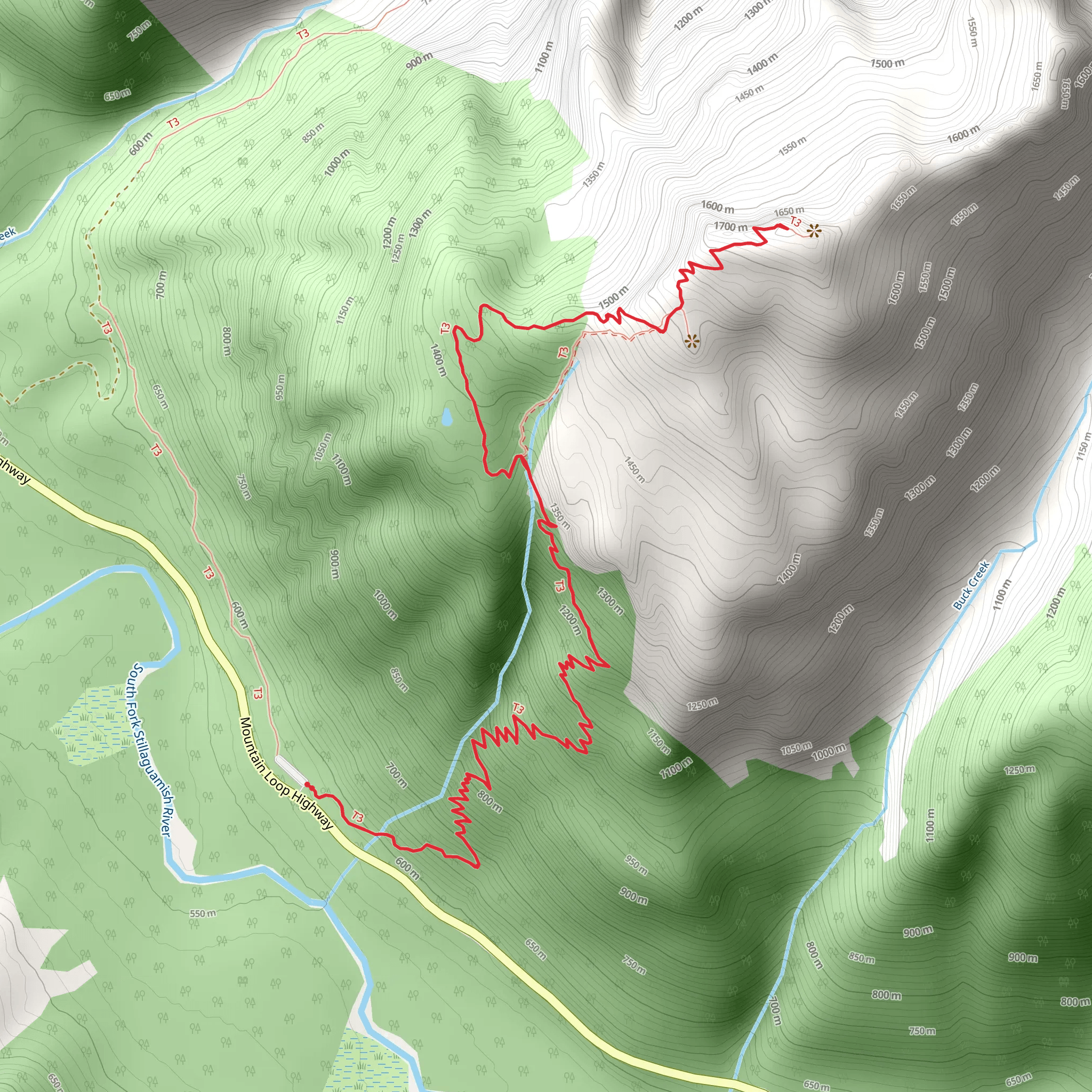
Starting your journey near Snohomish County, Washington, the Mount Dickerman Trail offers a challenging yet rewarding hike. The trailhead is accessible by car, with parking available at the trailhead off Mountain Loop Highway. For those relying on public transport, the nearest significant landmark is the Verlot Public Service Center, from where you may need to arrange a taxi or rideshare to reach the trailhead.
The trail spans approximately 12 kilometers (7.5 miles) round trip, with an elevation gain of around 1400 meters (4600 feet). This out-and-back trail is rated as medium difficulty, making it suitable for hikers with a moderate level of fitness and some experience.
Initial Ascent and Forested Path
The hike begins with a steady ascent through dense forest, primarily composed of Douglas fir and western hemlock. The first 3 kilometers (1.9 miles) involve a series of switchbacks that gradually increase in elevation. As you navigate this section, keep an eye out for the diverse flora, including ferns and wildflowers that bloom in the spring and summer months.
Mid-Trail Landmarks and Views
Around the 4-kilometer (2.5-mile) mark, the forest begins to thin, offering glimpses of the surrounding peaks. Here, you’ll encounter a series of open meadows, which are particularly stunning during the wildflower season. These meadows also provide an excellent opportunity to spot local wildlife, such as black-tailed deer and various bird species.
Final Ascent and Summit
The final 2 kilometers (1.2 miles) of the trail are the most strenuous, with steeper inclines and rocky terrain. As you approach the summit, the trail becomes more exposed, offering panoramic views of the North Cascades, including Mount Baker and Glacier Peak. The summit itself provides a 360-degree view, making the challenging ascent well worth the effort.
Historical Significance
The Mount Dickerman area holds historical significance, as it was once a popular destination for early 20th-century mountaineers and explorers. The trail and surrounding regions have been preserved to maintain their natural beauty and historical value.
Navigation and Safety
Given the trail's elevation gain and varying terrain, it’s advisable to use a reliable navigation tool like HiiKER to stay on track. Weather conditions can change rapidly, so be prepared with appropriate gear, including layers, rain protection, and sturdy hiking boots. Always carry enough water and snacks, and consider bringing trekking poles for added stability during the steeper sections.
Getting There
To reach the trailhead by car, drive along the Mountain Loop Highway until you reach the parking area near the Verlot Public Service Center. If using public transport, the nearest significant landmark is the Verlot Public Service Center, from where you can arrange a taxi or rideshare to the trailhead.
Prepare adequately, respect the natural environment, and enjoy the breathtaking views and rich history that the Mount Dickerman Trail has to offer.
What to expect?
Activity types
Comments and Reviews
User comments, reviews and discussions about the Mount Dickerman Trail, Washington.
4.78
average rating out of 5
18 rating(s)
