Download
Preview
Add to list
More
20.1 km
~1 day 2 hrs
1806 m
Out and Back
“Trek the Huckleberry Mountain Trail for a challenging yet rewarding 20 km hike with stunning Cascade views.”
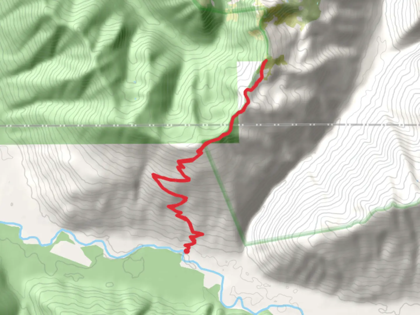
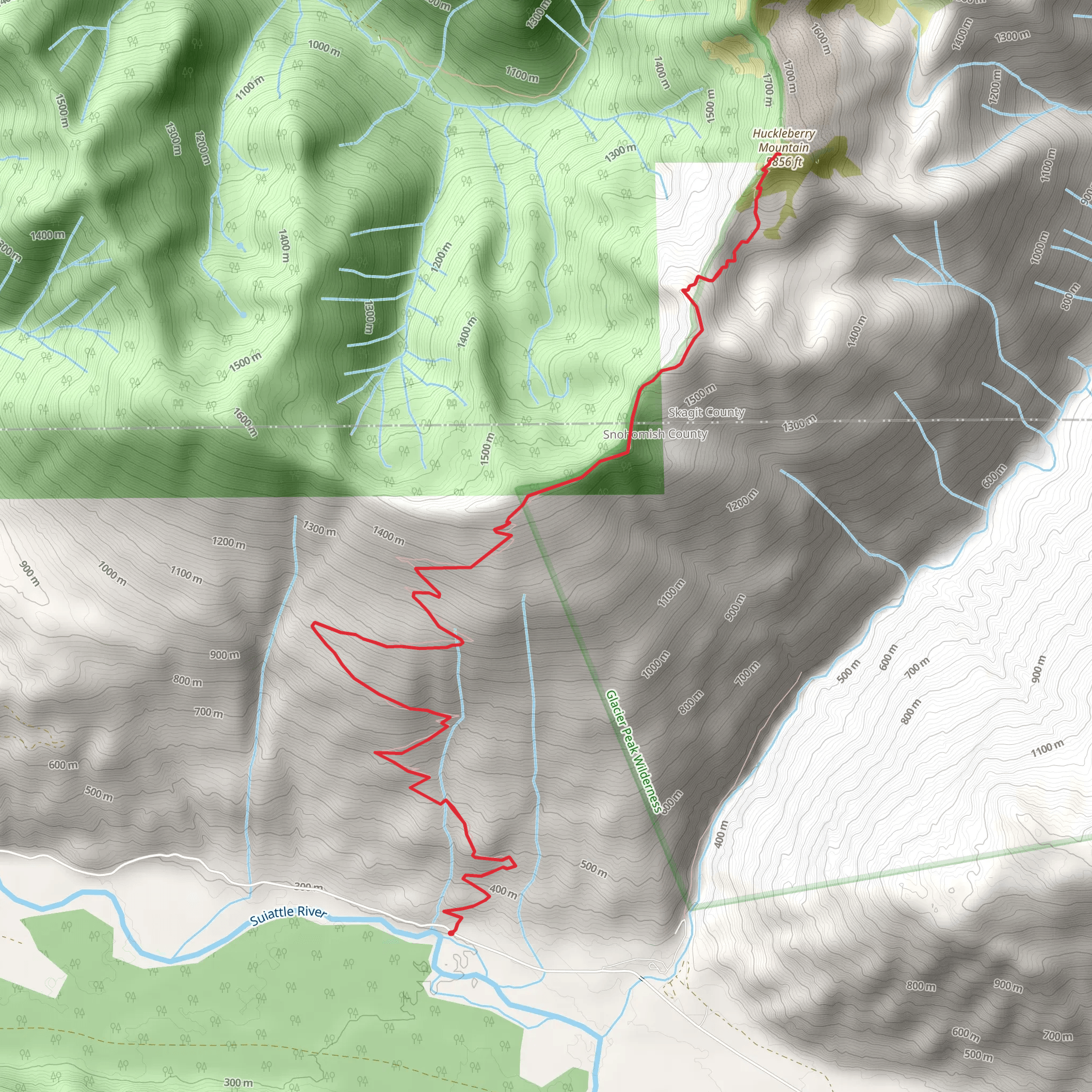
Starting your adventure near Snohomish County, Washington, the Huckleberry Mountain Trail offers a challenging yet rewarding hike. Spanning approximately 20 kilometers (12.4 miles) with an elevation gain of around 1800 meters (5905 feet), this out-and-back trail is estimated to be of medium difficulty, making it suitable for experienced hikers looking for a bit of a challenge.### Getting There To reach the trailhead, you can drive or use public transport. If driving, head towards the nearest known address, which is the Verlot Public Service Center on the Mountain Loop Highway. From there, continue along the Mountain Loop Highway until you reach the trailhead parking area. For those using public transport, the nearest major city is Everett, Washington. From Everett, you can take a bus to Granite Falls and then arrange for a taxi or rideshare to the trailhead.### Trail Overview The trail begins with a gradual ascent through dense forest, offering a canopy of towering Douglas firs and western hemlocks. The first 3 kilometers (1.9 miles) are relatively gentle, gaining about 300 meters (984 feet) in elevation. This section is a great warm-up and allows you to acclimate to the terrain.### Significant Landmarks and Nature As you progress, the trail becomes steeper, and around the 5-kilometer (3.1-mile) mark, you'll encounter the first significant viewpoint. Here, you can take a break and enjoy panoramic views of the surrounding Cascade Range. Keep an eye out for local wildlife such as black-tailed deer and various bird species, including the Steller's jay and the northern spotted owl.### Mid-Trail Challenges The next section of the trail is the most challenging, with a steep ascent that gains approximately 700 meters (2297 feet) over the next 4 kilometers (2.5 miles). This part of the trail is rocky and can be slippery, especially after rain, so good hiking boots and trekking poles are recommended. ### Historical Significance Around the 9-kilometer (5.6-mile) mark, you'll come across remnants of old mining operations. This area was historically significant during the late 19th and early 20th centuries when prospectors searched for precious metals. Take a moment to explore these relics and imagine the lives of those who once worked here.### Final Ascent and Summit The final push to the summit involves another 300 meters (984 feet) of elevation gain over the last 2 kilometers (1.2 miles). The trail here is narrow and exposed, offering breathtaking views but requiring careful footing. Upon reaching the summit, you'll be rewarded with 360-degree views of the Cascade Range, including Mount Baker to the north and Glacier Peak to the east.### Navigation and Safety Given the trail's complexity, it's advisable to use a reliable navigation tool like HiiKER to keep track of your progress and ensure you stay on the correct path. Weather conditions can change rapidly in this region, so always check the forecast before setting out and be prepared for sudden changes.### Return Journey The return journey follows the same path, allowing you to revisit the stunning viewpoints and historical sites. Descending can be tough on the knees, so take your time and use trekking poles for added stability.This trail offers a mix of natural beauty, challenging terrain, and historical intrigue, making it a must-do for any avid hiker.
What to expect?
Activity types
Comments and Reviews
User comments, reviews and discussions about the Huckleberry Mountain Trail, Washington.
4.14
average rating out of 5
7 rating(s)
