Download
Preview
Add to list
More
27.1 km
~1 day 2 hrs
1247 m
Out and Back
“Embark on a 27 km scenic adventure through lush forests and high alpine meadows near Snohomish County.”
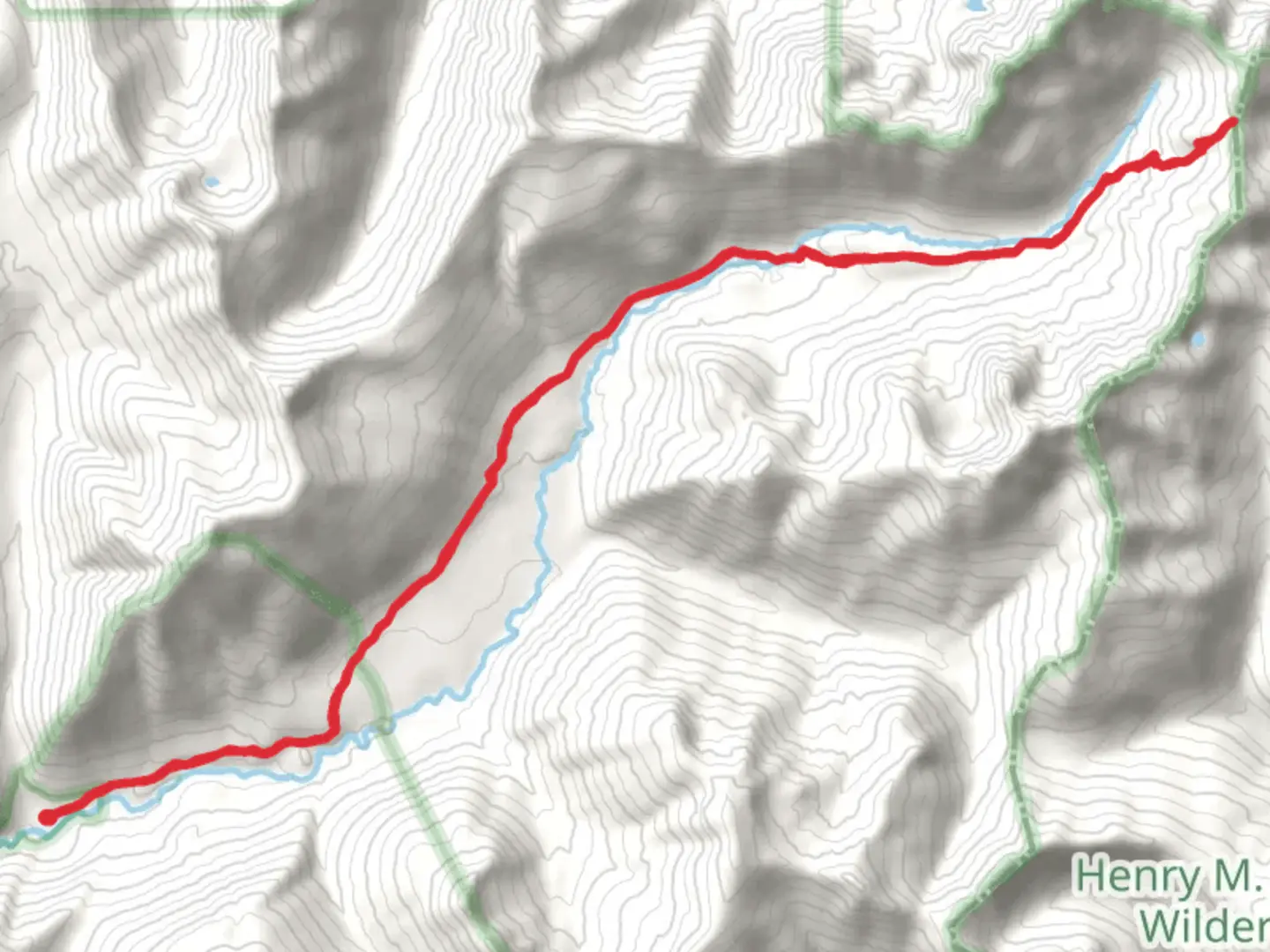
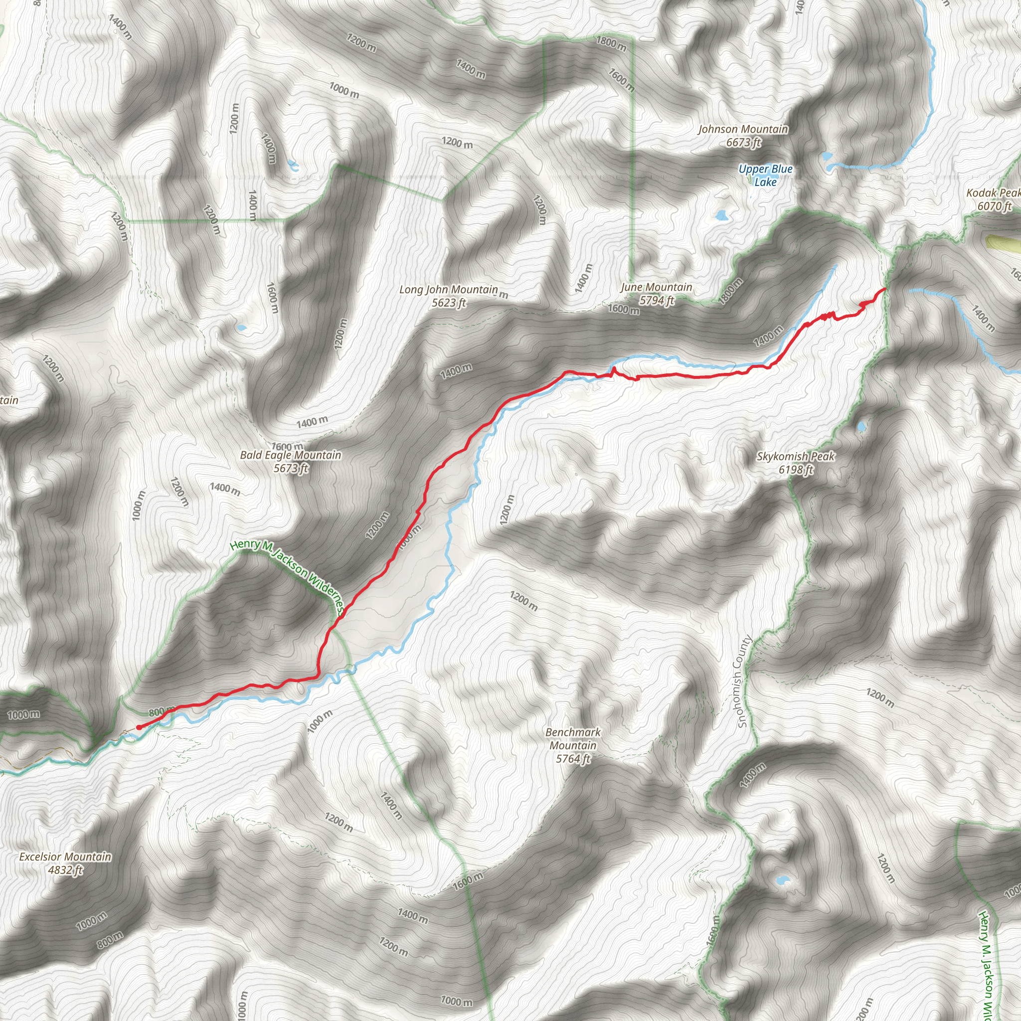
Starting your journey near Snohomish County, Washington, the Dishpan Gap via North Fork Skykomish Trail offers a captivating 27 km (approximately 16.8 miles) out-and-back adventure with an elevation gain of around 1200 meters (3937 feet). This medium-difficulty trail is perfect for those looking to immerse themselves in the natural beauty of the Pacific Northwest.### Getting There To reach the trailhead, you can drive or use public transportation. If driving, head towards the town of Index, Washington, and follow the Index-Galena Road until you reach the North Fork Skykomish River Road. Continue on this road until you arrive at the trailhead parking area. For those using public transport, the nearest significant landmark is the town of Index, from where you may need to arrange a taxi or rideshare to the trailhead.### Trail Overview The trail begins with a gentle ascent through lush, old-growth forests, where you'll be surrounded by towering Douglas firs and western hemlocks. The first few kilometers (miles) are relatively easy, allowing you to acclimate to the terrain and enjoy the serene environment. Keep an eye out for the diverse wildlife, including deer, black bears, and various bird species.### Significant Landmarks and Elevation At around the 5 km (3.1 miles) mark, you'll encounter the first significant elevation gain as the trail starts to climb more steeply. This section can be challenging, but the effort is rewarded with stunning views of the surrounding mountains and valleys. As you continue, you'll cross several small streams and waterfalls, which are perfect spots for a quick rest and hydration.### Historical Significance The region has a rich history, with the trail itself being part of the traditional lands of the Skykomish people. The area was also significant during the early logging days of Washington State, and remnants of old logging equipment can occasionally be spotted along the trail.### Reaching Dishpan Gap Around the 13.5 km (8.4 miles) mark, you'll reach Dishpan Gap, a high alpine meadow that offers breathtaking panoramic views. This is a great spot to take a longer break, have lunch, and soak in the scenery. The meadow is often dotted with wildflowers in the summer months, adding a splash of color to the landscape.### Wildlife and Flora As you hike, you'll notice the transition from dense forest to alpine meadows. The flora changes accordingly, with more hardy, low-lying plants and wildflowers appearing as you gain elevation. Wildlife is abundant, so keep your camera ready for potential sightings of marmots, mountain goats, and even the occasional elk.### Navigation and Safety Given the trail's length and elevation gain, it's crucial to be well-prepared. Ensure you have a reliable navigation tool like HiiKER to keep you on track. Weather conditions can change rapidly, especially at higher elevations, so pack accordingly with layers, rain gear, and sufficient food and water.### Return Journey The return journey follows the same path, allowing you to revisit the beautiful landscapes and perhaps notice details you missed on the way up. The descent can be tough on the knees, so take your time and use trekking poles if needed.This trail offers a perfect blend of natural beauty, historical significance, and physical challenge, making it a must-do for any avid hiker exploring the Pacific Northwest.
What to expect?
Activity types
Comments and Reviews
User comments, reviews and discussions about the Dishpan Gap via North Fork Skykomish Trail, Washington.
4.67
average rating out of 5
9 rating(s)
