Download
Preview
Add to list
More
3.9 km
~1 hrs 1 min
150 m
Out and Back
“The Cross Snohomish County Route is a lush, moderate 4 km trail with rich biodiversity and historical significance.”
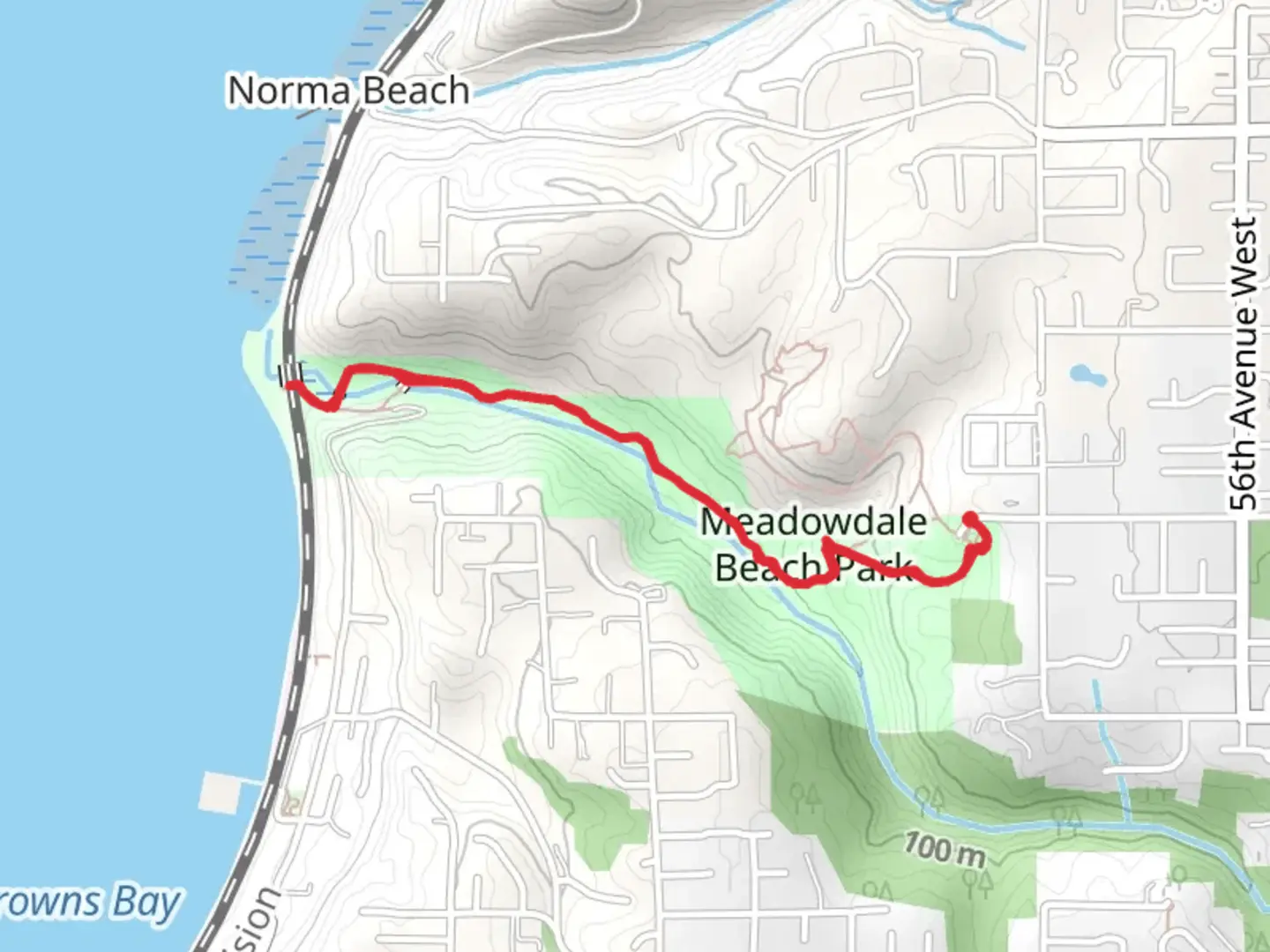
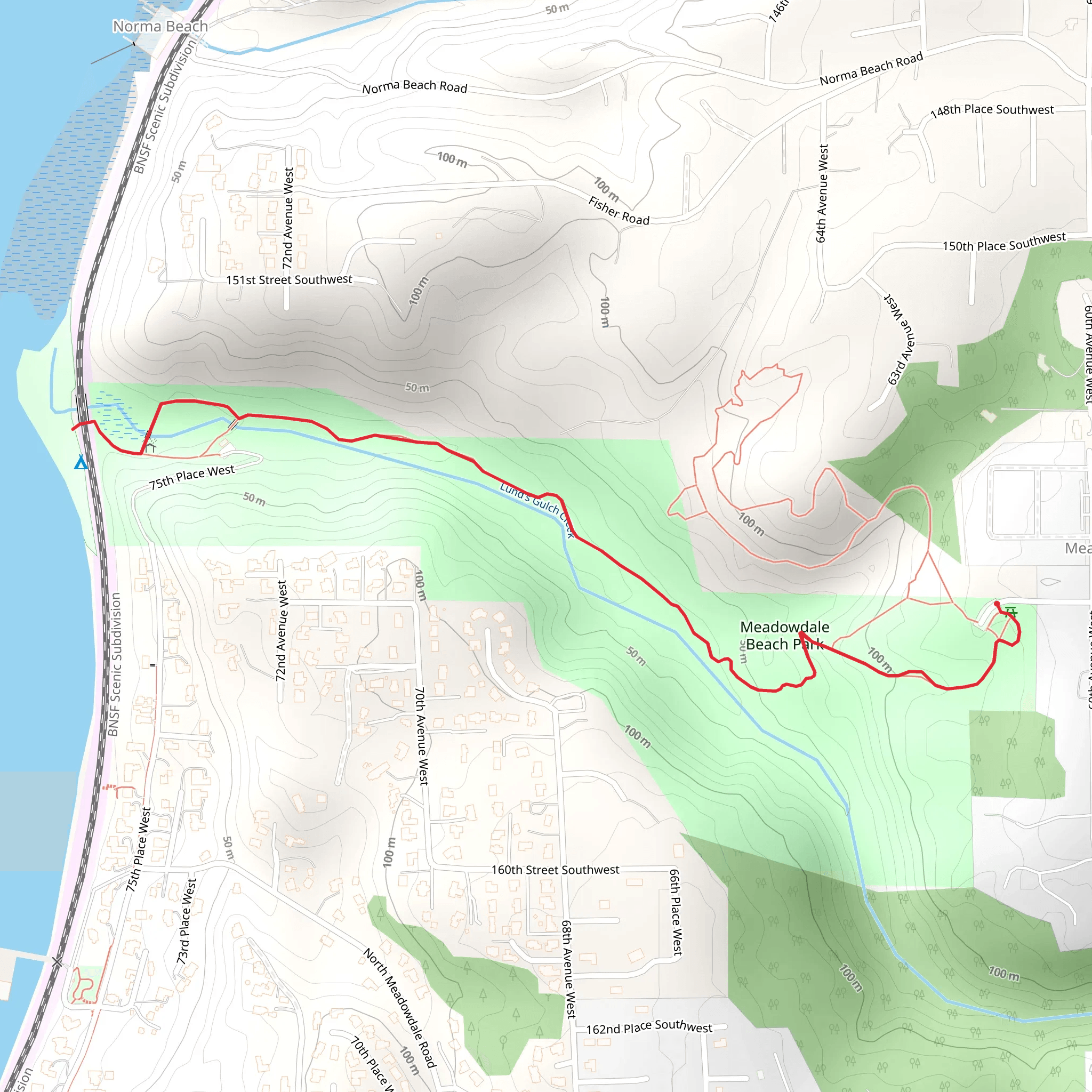
Starting near Snohomish County, Washington, the Cross Snohomish County Route is an engaging out-and-back trail that spans approximately 4 kilometers (2.5 miles) with an elevation gain of around 100 meters (328 feet). This trail is rated as medium difficulty, making it suitable for hikers with some experience.
Getting There To reach the trailhead, you can drive or use public transportation. If driving, head towards the nearest known address, which is the Snohomish County Centennial Trailhead located at 3231 Bickford Ave, Snohomish, WA 98290. For those using public transport, you can take a bus to the Snohomish Station and then either walk or take a short taxi ride to the trailhead.
Trail Navigation For navigation, it is highly recommended to use HiiKER, which provides detailed maps and real-time updates. This will ensure you stay on track and can easily find your way back.
Trail Features and Landmarks As you embark on the trail, you'll notice the lush greenery that characterizes the Pacific Northwest. The first kilometer (0.6 miles) is relatively flat, making it a good warm-up. Around the 1.5-kilometer (0.9-mile) mark, you'll start to experience a gradual incline, gaining about 50 meters (164 feet) in elevation over the next kilometer (0.6 miles).
Flora and Fauna The trail is rich in biodiversity. Keep an eye out for native plants like the Western Red Cedar and Douglas Fir. Wildlife is abundant, and you might spot deer, raccoons, and various bird species such as the American Robin and the Bald Eagle.
Historical Significance This region holds historical significance as it was once inhabited by the Snohomish tribe. The trail itself follows part of the old trading routes used by Native Americans and early settlers. Along the way, you might come across informational plaques that provide insights into the area's history and its original inhabitants.
Points of Interest At approximately the 2-kilometer (1.2-mile) mark, you'll reach a scenic viewpoint that offers a panoramic view of the surrounding landscape, including the Snohomish River. This is a great spot to take a break and enjoy the natural beauty.
Final Stretch The final kilometer (0.6 miles) to the turnaround point involves a slight descent, making it a bit easier on the legs. Once you reach the end, you'll simply retrace your steps back to the trailhead.
Safety and Preparation Given the medium difficulty rating, it's advisable to wear sturdy hiking boots and bring plenty of water. Weather can be unpredictable, so dressing in layers is recommended. Always check the weather forecast before heading out and let someone know your plans.
This trail offers a balanced mix of natural beauty, moderate physical challenge, and historical context, making it a rewarding experience for those who venture out.
What to expect?
Activity types
Comments and Reviews
User comments, reviews and discussions about the Cross Snohomsih County Route, Washington.
4.58
average rating out of 5
24 rating(s)
