Download
Preview
Add to list
More
8.6 km
~2 hrs 17 min
342 m
Loop
“Explore Snohomish County's 9 km trail, blending natural beauty, historical sites, and diverse wildlife for a rewarding hike.”
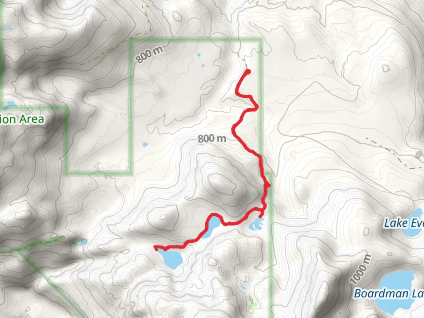
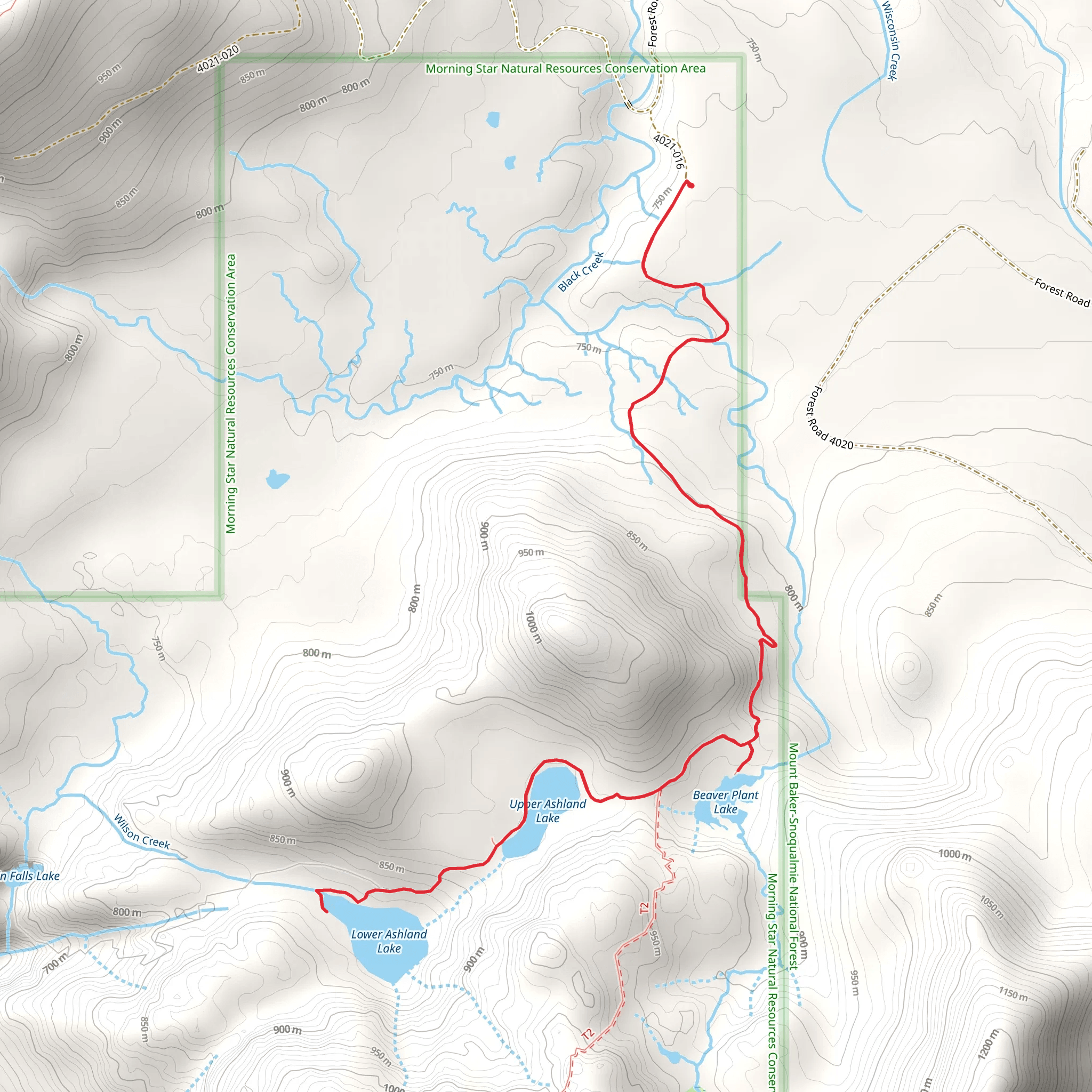
Starting near Snohomish County, Washington, the Beaver Plant Lake and Upper - Lower Ashland Lake trail is a captivating loop that spans approximately 9 km (5.6 miles) with an elevation gain of around 300 meters (984 feet). This medium-difficulty trail offers a rich blend of natural beauty, historical significance, and diverse wildlife, making it a rewarding experience for hikers.
Getting There
To reach the trailhead, you can drive or use public transport. If driving, head towards the Mountain Loop Highway from Granite Falls, Washington. The nearest significant landmark is the Verlot Public Service Center, located at 33515 Mountain Loop Hwy, Granite Falls, WA 98252. From there, continue on the Mountain Loop Highway until you reach the trailhead parking area. For those using public transport, the Community Transit bus service from Everett to Granite Falls is a viable option, but be prepared for a taxi or rideshare from Granite Falls to the trailhead.
Trail Overview
The trail begins with a gentle ascent through a lush forest of Douglas fir, western hemlock, and red cedar. The first significant landmark is Beaver Plant Lake, located about 2 km (1.2 miles) from the trailhead. This serene lake is surrounded by dense vegetation and offers a peaceful spot for a short break. The elevation gain to this point is minimal, making it an easy start to your hike.
Continuing on, the trail becomes steeper as you approach the junction leading to Upper Ashland Lake. This section, approximately 4 km (2.5 miles) from the start, involves a more challenging climb with an elevation gain of about 150 meters (492 feet). The effort is well worth it, as Upper Ashland Lake is a stunning alpine lake with crystal-clear waters and panoramic views of the surrounding peaks.
Wildlife and Flora
The area is rich in wildlife, including black bears, deer, and various bird species such as the northern spotted owl and the pileated woodpecker. Keep an eye out for these creatures, but remember to maintain a safe distance and follow Leave No Trace principles. The flora is equally impressive, with seasonal wildflowers like trillium and lupine adding splashes of color to the landscape.
Historical Significance
The region has a rich history tied to the logging industry of the early 20th century. Remnants of old logging equipment and abandoned cabins can still be found along the trail, offering a glimpse into the past. These historical artifacts serve as a reminder of the area's industrial heritage and its transformation into a natural haven.
Navigation and Safety
Navigating the trail is straightforward, but it's always wise to have a reliable navigation tool. HiiKER is an excellent app for this purpose, providing detailed maps and real-time updates. The trail is well-marked, but weather conditions can change rapidly, so be prepared with appropriate gear, including waterproof clothing and sturdy hiking boots.
Final Stretch
The descent towards Lower Ashland Lake is less strenuous, with a gradual decline over 3 km (1.9 miles). This section of the trail offers more opportunities to enjoy the tranquil forest and spot wildlife. Lower Ashland Lake is another picturesque spot, perfect for a final rest before completing the loop back to the trailhead.
This trail offers a balanced mix of moderate challenges and rewarding scenery, making it an excellent choice for hikers looking to explore the natural beauty and historical richness of Snohomish County.
What to expect?
Activity types
Comments and Reviews
User comments, reviews and discussions about the Beaver Plant Lake and Upper - Lower Ashland Lake, Washington.
4.33
average rating out of 5
3 rating(s)
