Download
Preview
Add to list
More
25.6 km
~1 day 2 hrs
1663 m
Out and Back
“Embark on the Bald Mountain Ridge Trail for a 26-km journey through Pacific Northwest beauty and history.”
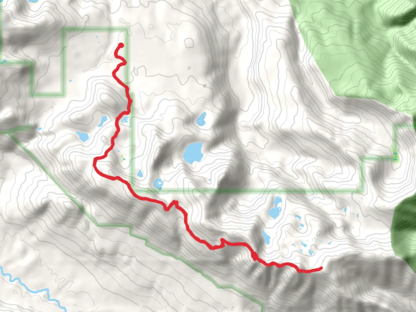
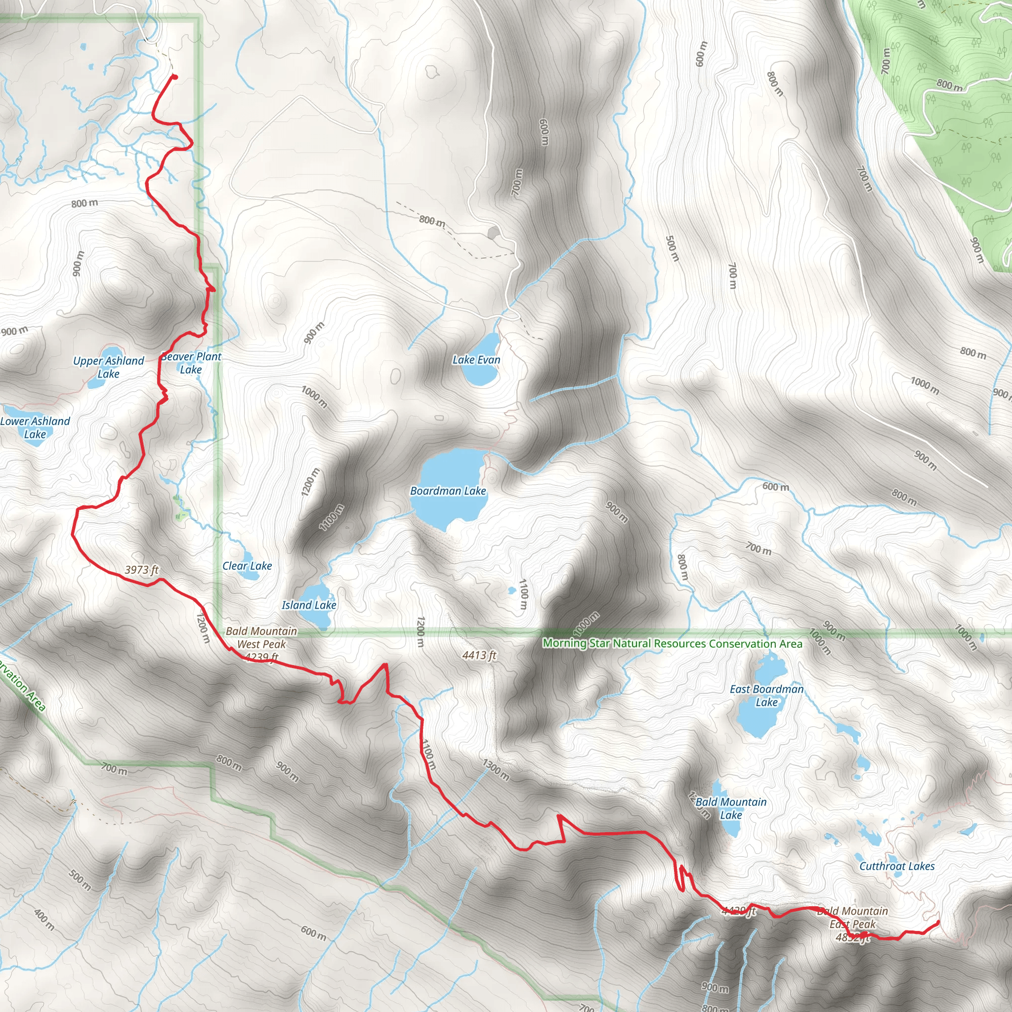
Starting your adventure near Snohomish County, Washington, the Bald Mountain Ridge Trail offers a rewarding out-and-back journey of approximately 26 kilometers (16 miles) with an elevation gain of around 1600 meters (5250 feet). This medium-difficulty trail is perfect for those looking to experience the beauty of the Pacific Northwest.### Getting There To reach the trailhead, you can drive or use public transportation. If driving, head towards the nearest significant landmark, which is the town of Granite Falls. From Granite Falls, follow the Mountain Loop Highway until you reach the trailhead parking area. For those using public transport, take a bus to Granite Falls and then arrange for a local taxi or rideshare service to the trailhead.### Trail Overview The trail begins with a gentle ascent through dense forest, where you'll be surrounded by towering Douglas firs and Western hemlocks. The first 5 kilometers (3 miles) are relatively easy, with an elevation gain of about 300 meters (985 feet). This section is a great warm-up and offers a chance to spot local wildlife such as deer and various bird species.### Mid-Trail Landmarks As you continue, the trail becomes steeper, gaining another 600 meters (1970 feet) over the next 8 kilometers (5 miles). Around the 10-kilometer (6-mile) mark, you'll reach a scenic viewpoint overlooking the Stillaguamish River Valley. This is an excellent spot for a break and some photos.### Historical Significance The region has a rich history, with the trail passing near old logging routes and remnants of early 20th-century logging camps. These historical sites offer a glimpse into the area's past and the early settlers who worked these lands.### Final Ascent The final stretch to the summit is the most challenging, with an elevation gain of 700 meters (2295 feet) over the last 3 kilometers (2 miles). The trail becomes rocky and more exposed, so be prepared for wind and changing weather conditions. Upon reaching the summit, you'll be rewarded with panoramic views of the Cascade Range, including Mount Pilchuck and Three Fingers.### Wildlife and Flora Throughout the hike, keep an eye out for local wildlife such as black bears, mountain goats, and various bird species. The flora changes with elevation, transitioning from dense forest to alpine meadows filled with wildflowers in the summer months.### Navigation Given the trail's length and elevation gain, it's crucial to have reliable navigation tools. The HiiKER app is highly recommended for real-time trail maps and updates.### Return Journey The descent follows the same path back to the trailhead, offering a chance to revisit the scenic spots and historical landmarks you passed on the way up. Make sure to pace yourself and enjoy the diverse landscapes and rich history that the Bald Mountain Ridge Trail has to offer.
What to expect?
Activity types
Comments and Reviews
User comments, reviews and discussions about the Bald Mountain Ridge Trail, Washington.
average rating out of 5
0 rating(s)
