Download
Preview
Add to list
More
4.0 km
~1 hrs 38 min
507 m
Out and Back
“Experience the stunning beauty and cultural heritage of the Columbia River Gorge on the Wind Mountain Trail.”
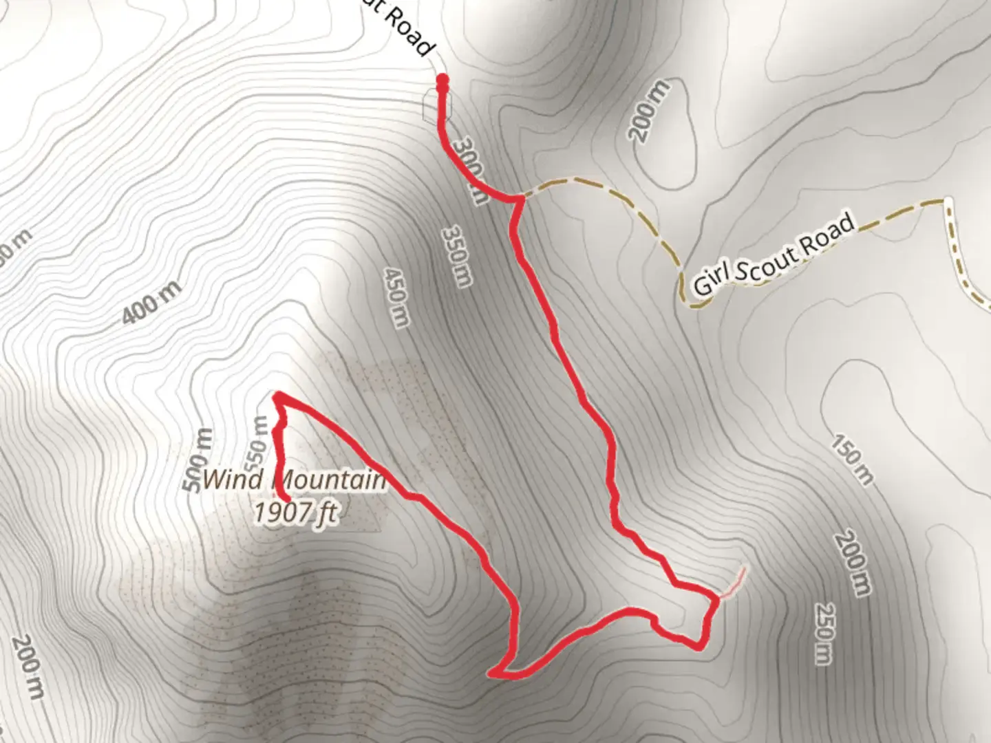
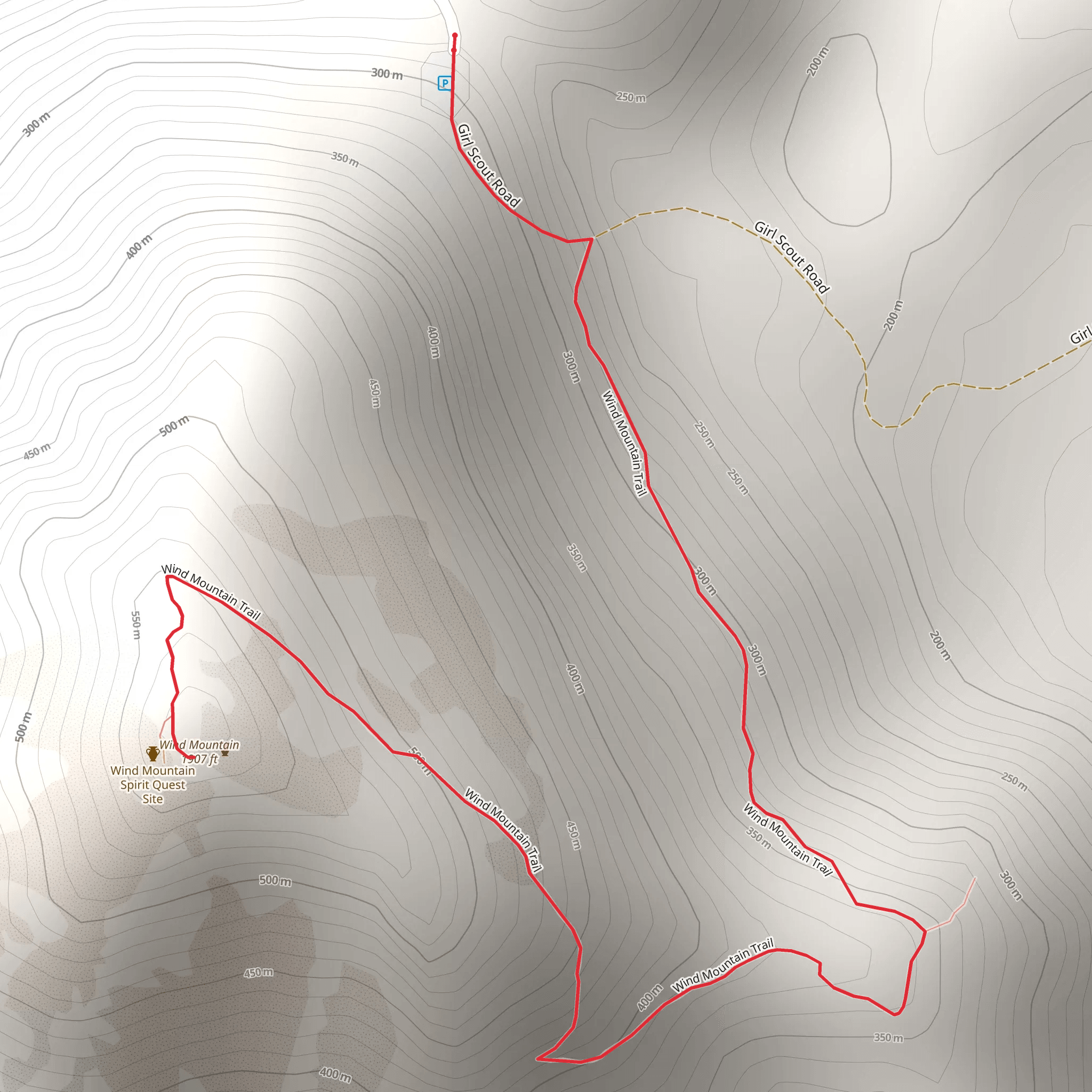
Starting your adventure near Skamania County, Washington, the Wind Mountain Trail offers a moderately challenging hike with a total distance of around 4 km (2.5 miles) and an elevation gain of approximately 500 meters (1,640 feet). This out-and-back trail is perfect for those looking to experience the natural beauty and historical significance of the Columbia River Gorge.
Getting There To reach the trailhead, you can drive or use public transport. If driving, head towards the town of Carson, Washington, and follow Wind River Highway north. Turn onto Hemlock Road and continue until you reach the trailhead parking area. For those using public transport, the nearest significant landmark is the town of Stevenson, Washington. From Stevenson, you can take a local taxi or rideshare service to the trailhead.
Trail Overview The trail begins with a gentle ascent through a lush forest of Douglas fir and western hemlock. As you progress, the path becomes steeper and rockier, so sturdy hiking boots are recommended. The first significant landmark you'll encounter is a series of switchbacks approximately 1 km (0.6 miles) into the hike. These switchbacks help to manage the steep elevation gain and offer occasional glimpses of the Columbia River below.
Flora and Fauna The Wind Mountain Trail is rich in biodiversity. Keep an eye out for native plant species such as Oregon grape, salal, and sword fern. Birdwatchers will be delighted by the presence of species like the Steller's jay, northern flicker, and various warblers. Deer and smaller mammals like chipmunks are also commonly spotted along the trail.
Historical Significance Wind Mountain holds cultural significance for the indigenous Chinook people, who consider it a sacred site. The mountain was historically used for vision quests and other spiritual practices. As you hike, you'll notice several rock formations that were significant in these rituals. Please respect these sites and avoid disturbing any natural or cultural artifacts.
Reaching the Summit At around 2 km (1.25 miles) into the hike, you'll reach a viewpoint that offers stunning panoramic views of the Columbia River Gorge. This is a great spot to take a break and enjoy the scenery. From here, the trail continues to climb steeply for another 1 km (0.6 miles) before reaching the summit. The final stretch can be quite challenging, with loose rocks and narrow paths, so proceed with caution.
Navigation and Safety Given the trail's moderate difficulty, it's advisable to use a reliable navigation tool like HiiKER to stay on track. The trail is well-marked, but having a digital map can be invaluable, especially in foggy or low-visibility conditions. Always carry enough water, snacks, and a basic first-aid kit. Weather in the Columbia River Gorge can be unpredictable, so dress in layers and be prepared for sudden changes.
Descending the Trail The descent follows the same path back to the trailhead. While descending, take your time to enjoy the different perspectives and perhaps spot some wildlife you missed on the way up. The switchbacks can be slippery, especially after rain, so watch your footing.
By the time you return to the trailhead, you'll have experienced a rewarding hike that combines natural beauty, rich biodiversity, and cultural history.
What to expect?
Activity types
Comments and Reviews
User comments, reviews and discussions about the Wind Mountain Trail, Washington.
4.62
average rating out of 5
13 rating(s)
