Download
Preview
Add to list
More
17.7 km
~1 day 0 hrs
1100 m
Out and Back
“Whittier Ridge and Norway Pass via Boundary Trail: A challenging hike with stunning views and historical significance.”
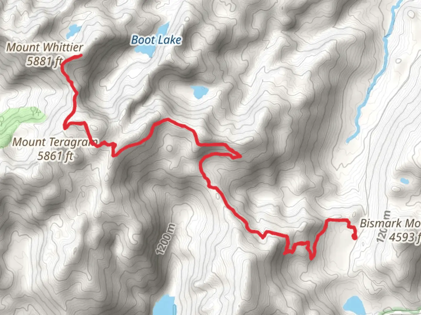
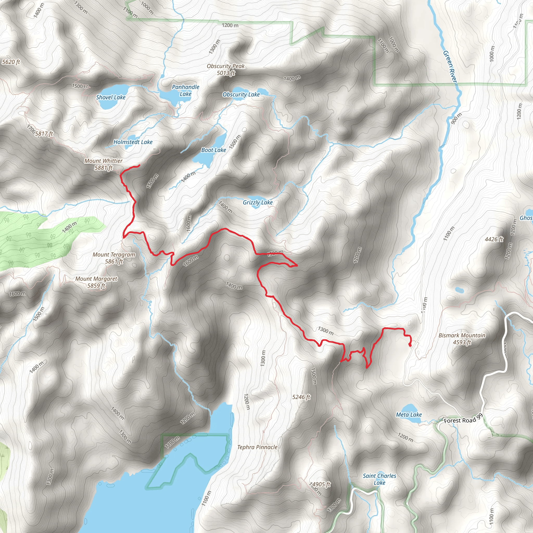
Starting near Skamania County, Washington, this 18 km (approximately 11.2 miles) out-and-back trail offers a challenging yet rewarding hike with an elevation gain of around 1100 meters (3608 feet). The trailhead is accessible by car, and the nearest significant landmark is the Johnston Ridge Observatory. Public transport options are limited, so driving is the most practical way to reach the trailhead.### Trail OverviewThe Whittier Ridge and Norway Pass via Boundary Trail is a medium-difficulty hike that takes you through some of the most breathtaking landscapes in the Pacific Northwest. The trail begins with a steady ascent, offering panoramic views of the surrounding valleys and peaks. Early on, you'll traverse through lush forests, where Douglas firs and western hemlocks dominate the landscape. Keep an eye out for local wildlife, including deer and various bird species.### Key Landmarks and Sections#### Whittier RidgeAt approximately 6 km (3.7 miles) into the hike, you'll reach Whittier Ridge. This section is known for its narrow, rocky paths and steep drop-offs, so caution is advised. The ridge offers stunning views of Mount St. Helens, Mount Adams, and Spirit Lake. The elevation gain here is significant, so take your time and enjoy the vistas.#### Norway PassContinuing on, you'll reach Norway Pass around the 9 km (5.6 miles) mark. This area is historically significant due to its proximity to the 1980 Mount St. Helens eruption. The pass provides a unique vantage point to observe the regrowth and recovery of the landscape. The wildflowers in this area are particularly vibrant during the summer months, adding a splash of color to the rugged terrain.### Navigation and SafetyGiven the challenging nature of the trail, it's advisable to use a reliable navigation tool like HiiKER to keep track of your progress and ensure you stay on course. The trail is well-marked, but weather conditions can change rapidly, so be prepared for sudden shifts.### Flora and FaunaThe trail offers a diverse range of flora and fauna. In the lower elevations, you'll find dense forests with ferns and mosses carpeting the ground. As you ascend, the vegetation becomes sparser, giving way to alpine meadows filled with wildflowers. Wildlife sightings are common, so keep your camera ready for deer, elk, and various bird species.### Historical SignificanceThe area around Norway Pass holds historical significance due to its proximity to Mount St. Helens. The 1980 eruption drastically altered the landscape, and the trail offers a unique opportunity to witness the ongoing recovery. Interpretive signs along the trail provide insights into the eruption's impact and the resilience of nature.### Getting ThereTo reach the trailhead, drive to the Johnston Ridge Observatory, which is the nearest significant landmark. From there, follow the signs to the Boundary Trail. Public transport options are limited, so driving is the most practical way to get there. Ensure your vehicle is well-prepared for mountain driving conditions, especially during the winter months.This hike offers a blend of natural beauty, challenging terrain, and historical significance, making it a must-visit for any avid hiker.
What to expect?
Activity types
Comments and Reviews
User comments, reviews and discussions about the Whittier Ridge and Norway Pass via Boundary Trail, Washington.
4.33
average rating out of 5
15 rating(s)
