Download
Preview
Add to list
More
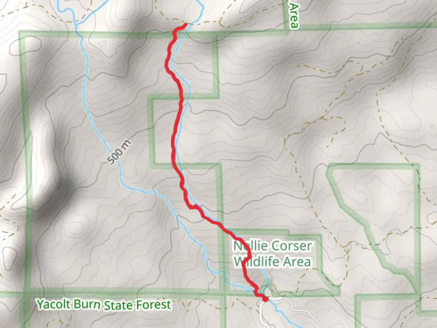
4.4 km
~1 hrs 26 min
341 m
Out and Back
“This trail near Carson, WA, offers a scenic, moderately challenging hike through rich history and diverse nature.”
Starting near Skamania County, Washington, this 4 km (approximately 2.5 miles) out-and-back trail offers a moderate challenge with an elevation gain of around 300 meters (approximately 984 feet). The trailhead is conveniently located near the town of Carson, making it accessible for those traveling by car or public transport. If you're driving, you can park near the Carson Hot Springs Resort, which is a well-known landmark in the area. For those using public transport, buses from nearby cities like Vancouver, WA, can get you close to Carson, from where a short taxi ride will take you to the trailhead.
Trail Overview
The trail begins with a gentle ascent through a dense forest of Douglas fir and western red cedar. The initial 0.5 km (0.3 miles) is relatively easy, allowing you to acclimate to the surroundings. As you progress, the trail becomes steeper, gaining elevation more rapidly. The path is well-marked, but it's advisable to use the HiiKER app for navigation to ensure you stay on track.
Significant Landmarks and Nature
At around the 1 km (0.6 miles) mark, you'll encounter a small wooden bridge crossing Duncan Creek. This is a great spot to pause and take in the serene environment. The creek is home to various species of fish, including trout, and you might even spot a beaver or two working on their dams.
Continuing on, the trail winds through a series of switchbacks, offering glimpses of the surrounding Cascade Mountains. At approximately 2 km (1.2 miles), you'll reach a viewpoint that provides a stunning panorama of the valley below. This is an excellent spot for a break and some photography.
Flora and Fauna
The trail is rich in biodiversity. In spring and early summer, the forest floor is carpeted with wildflowers like trillium and lupine. Birdwatchers will be delighted by the variety of species, including woodpeckers, owls, and the occasional bald eagle soaring overhead. Keep an eye out for deer and, less commonly, black bears, especially during the early morning or late afternoon.
Historical Significance
The area around Duncan Creek has a rich history. It was originally inhabited by the Chinook people, who used the creek as a source of freshwater and fishing. In the late 19th century, the region saw an influx of settlers during the logging boom. Remnants of old logging equipment can still be found off the main trail, adding a historical dimension to your hike.
Final Stretch
The final 1 km (0.6 miles) of the trail is a bit more challenging, with a steeper incline and rockier terrain. Proper hiking boots are recommended for this section. The trail ends at a secluded spot beside Duncan Creek, where you can relax and enjoy the peaceful surroundings before heading back the way you came.
Getting Back
The return journey is mostly downhill, making it a bit easier on the legs. However, the rocky sections can be slippery, especially after rain, so take your time and watch your footing. Using the HiiKER app can help you navigate any tricky sections on the way back.
This trail offers a perfect blend of natural beauty, moderate physical challenge, and historical intrigue, making it a rewarding experience for hikers of all levels.

What to expect?
Activity types
Comments and Reviews
User comments, reviews and discussions about the Walk beside Duncan Creek, Washington.
4.35
average rating out of 5
20 rating(s)