Download
Preview
Add to list
More
17.6 km
~1 day 0 hrs
1028 m
Out and Back
“Embark on an 18 km scenic hike through Mount Margaret's diverse landscapes, offering panoramic views and historical insights.”
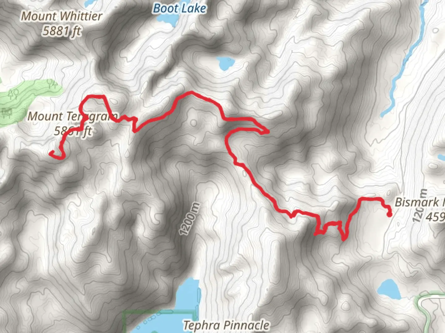
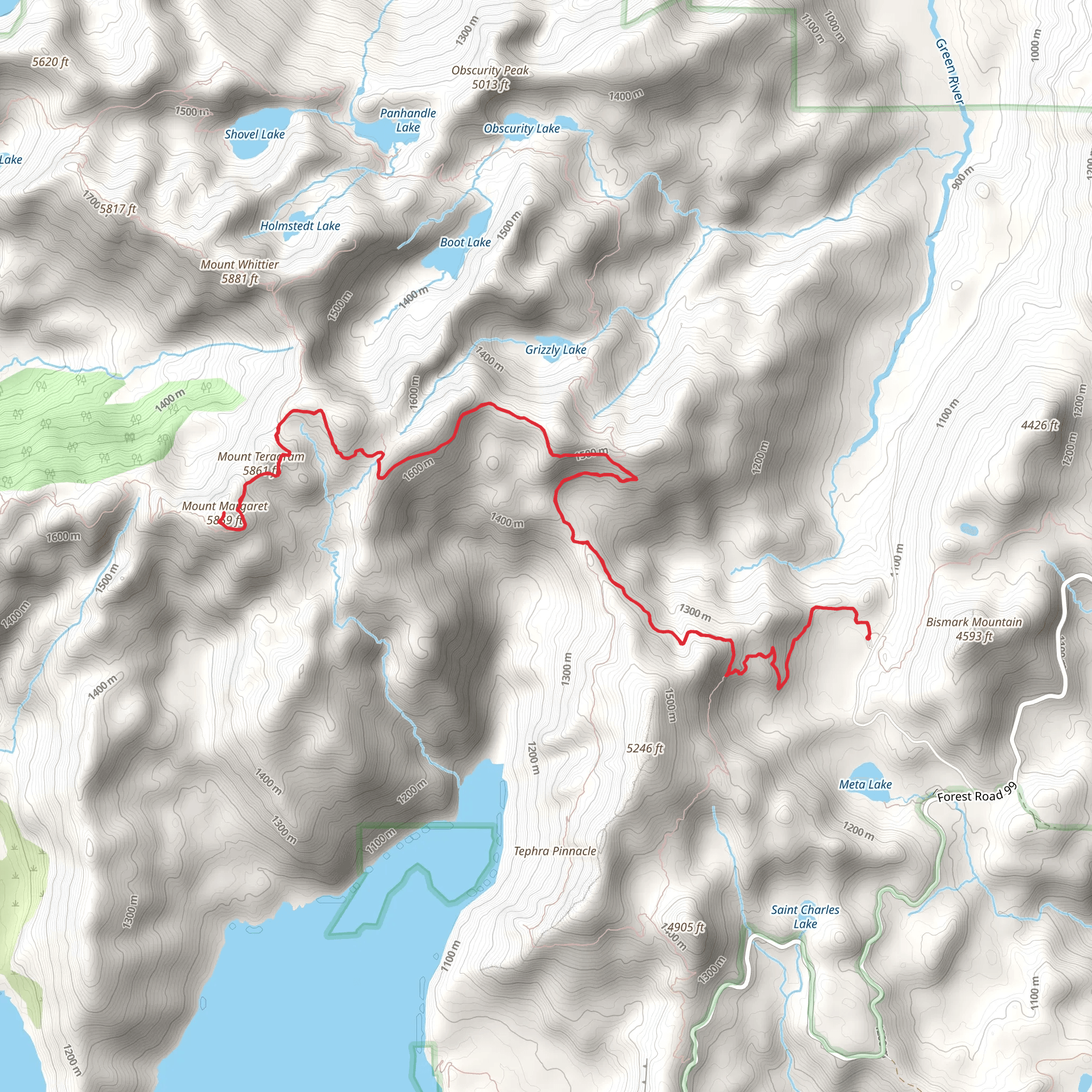
Starting your adventure near Skamania County, Washington, the Mount Margaret via Boundary Trail offers an invigorating 18 km (11.2 miles) out-and-back journey with an elevation gain of approximately 1000 meters (3280 feet). This trail is rated as medium difficulty, making it suitable for hikers with some experience and a good level of fitness.
Getting There To reach the trailhead, you can drive to the nearest significant landmark, which is the town of Cougar, Washington. From Cougar, head north on Forest Road 90 for about 14 miles (22.5 km) until you reach the junction with Forest Road 25. Continue on Forest Road 25 for another 8 miles (12.9 km) to reach the trailhead parking area. Public transport options are limited in this remote area, so driving is the most practical way to get there.
Trail Overview The trail begins with a steady ascent through dense forest, offering a cool and shaded start to your hike. As you climb, you'll encounter a variety of flora, including Douglas firs, western hemlocks, and an array of wildflowers during the spring and summer months. Keep an eye out for wildlife such as deer, elk, and occasionally black bears.
Significant Landmarks At around 3 km (1.9 miles) into the hike, you'll reach a viewpoint that offers your first glimpse of Mount St. Helens. This is a great spot to take a break and enjoy the panoramic views. Continuing on, the trail becomes steeper and rockier, requiring careful footing.
Historical Significance The region around Mount Margaret is rich in history, particularly related to the 1980 eruption of Mount St. Helens. The landscape still bears the scars of this catastrophic event, and you'll notice areas where the forest is slowly regenerating. This offers a unique opportunity to witness nature's resilience firsthand.
Mid-Trail Highlights Around the 9 km (5.6 miles) mark, you'll reach the summit of Mount Margaret. Here, the elevation gain of 1000 meters (3280 feet) rewards you with breathtaking 360-degree views. On a clear day, you can see Mount Rainier, Mount Adams, and even the remnants of Mount St. Helens. This is the perfect spot for a well-deserved rest and some photography.
Navigation and Safety Given the trail's moderate difficulty and remote location, it's essential to be well-prepared. Download the trail map from HiiKER to ensure you stay on course. The trail is well-marked, but having a reliable navigation tool is always a good idea. Make sure to carry enough water, snacks, and layers of clothing to adapt to changing weather conditions.
Wildlife and Flora As you descend, take the time to appreciate the diverse ecosystem. The trail passes through several microclimates, each supporting different plant and animal species. In the lower elevations, you'll find lush undergrowth and a variety of bird species. Higher up, the vegetation becomes sparser, but the views become even more spectacular.
Final Stretch The return journey follows the same path, allowing you to revisit some of the stunning viewpoints and perhaps notice details you missed on the way up. The descent can be tough on the knees, so trekking poles can be helpful.
This trail offers a mix of natural beauty, historical significance, and physical challenge, making it a rewarding experience for those who undertake it.
What to expect?
Activity types
Comments and Reviews
User comments, reviews and discussions about the Mount Margaret via Boundary Trail, Washington.
4.45
average rating out of 5
11 rating(s)
