Download
Preview
Add to list
More
44.7 km
~3 days
2100 m
Multi-Day
“Embark on the Juniper Ridge - Boundary Trail for an epic Washington wilderness adventure with breathtaking vistas and rich history.”
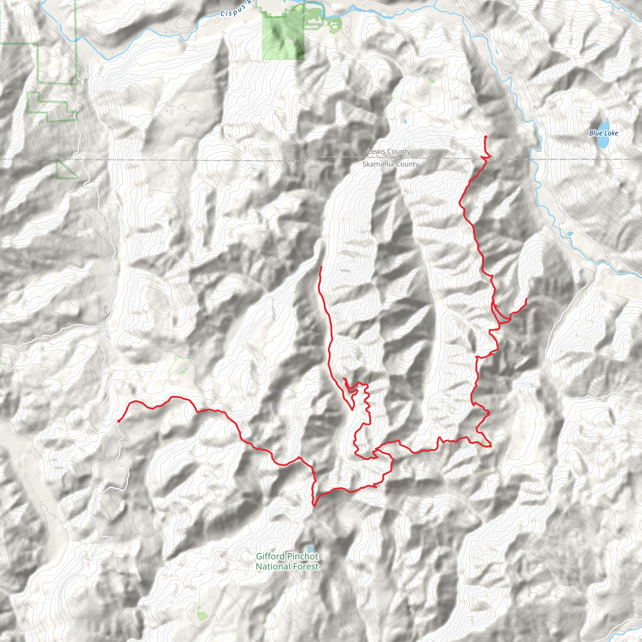
The Juniper Ridge - Boundary Trail is a challenging and rewarding trek that spans approximately 45 kilometers (about 28 miles) with an elevation gain of around 2100 meters (nearly 6900 feet). This point-to-point trail is nestled in the heart of Skamania County, Washington, and is known for its rugged terrain and breathtaking vistas.
Getting to the Trailhead
To reach the trailhead, you can drive to the vicinity of Dark Meadow, located within the Gifford Pinchot National Forest. The starting point is accessible via Forest Road 23, which is a well-maintained road leading to the trail's commencement. For those relying on public transportation, options are limited due to the remote nature of the trailhead. It is advisable to arrange for a private shuttle or carpool with fellow hikers.
Navigating the Trail
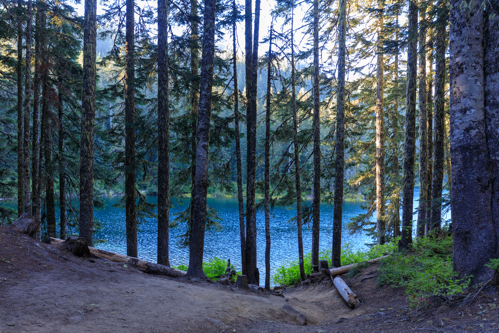
As you embark on your journey, ensure you have the HiiKER app downloaded for up-to-date trail maps and navigation assistance. The trail begins with a steady climb, winding through dense forests of Douglas fir and western hemlock. The ascent is gradual but persistent, offering hikers the opportunity to warm up their muscles for the challenges ahead.
Landmarks and Scenery
After approximately 10 kilometers (6.2 miles), you'll reach the first significant landmark, Sunrise Peak. Here, you'll be greeted with panoramic views of the surrounding Cascade Range. The trail continues to undulate, with several steep sections that will test your endurance.
As you traverse the ridge, you'll encounter remnants of the area's volcanic history, with views of Mount St. Helens, Mount Adams, and Mount Rainier on clear days. The trail also passes through areas recovering from past wildfires, showcasing nature's resilience.
Wildlife and Flora
The region is home to a diverse array of wildlife, including black bears, elk, and mountain goats. Birdwatchers may spot species such as the pileated woodpecker and the northern goshawk. The trail is also a haven for wildflowers, especially in the late spring and early summer when the meadows burst into a riot of colors with lupines, Indian paintbrush, and bear grass.
Historical Significance
The area around Juniper Ridge has a rich history, with the trail itself following paths once used by Native American tribes. The region was also heavily impacted by the eruption of Mount St. Helens in 1980, and evidence of this event can be seen in the landscape and regrowth patterns.
Preparation and Safety
Given the trail's difficulty rating of Extra Difficult, it is essential to be well-prepared. Hikers should carry plenty of water, high-energy food, and layers to adapt to changing weather conditions. It's also crucial to have a good pair of hiking boots, as the terrain can be rocky and uneven.
Conclusion
In conclusion, the Juniper Ridge - Boundary Trail offers an immersive experience for seasoned hikers seeking adventure amidst the natural beauty of Washington's wilderness. With its challenging terrain, stunning views, and rich history, this trail is a must-hike for those looking to test their limits and enjoy the great outdoors.
What to expect?
Activity types
Comments and Reviews
User comments, reviews and discussions about the Juniper Ridge - Boundary Trail, Washington.
4.75
average rating out of 5
8 rating(s)

