Download
Preview
Add to list
More
22.4 km
~1 day 1 hrs
1331 m
Point-to-Point
“Experience diverse landscapes and stunning views on the 22-km Boundary Trail to Johnston Ridge.”
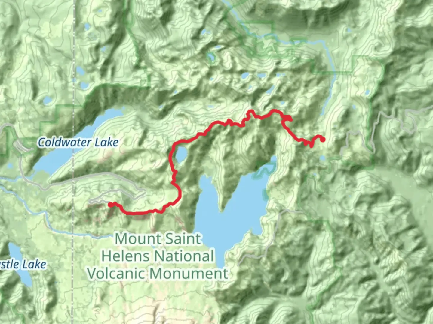
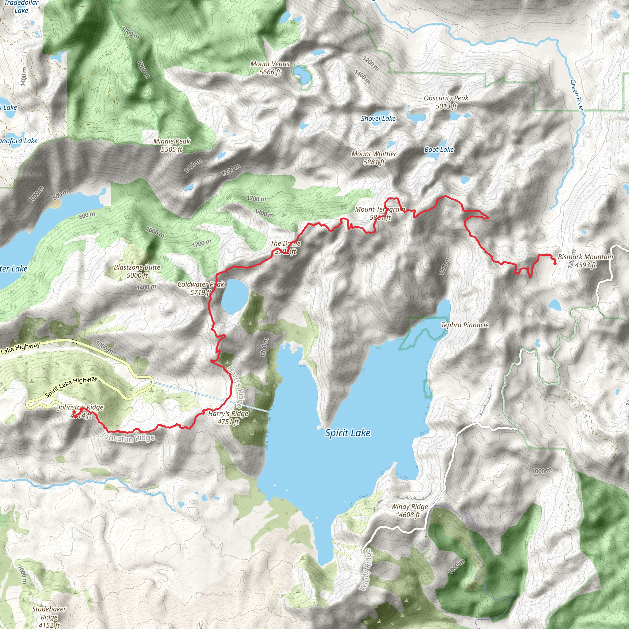
Starting near Skamania County, Washington, the Boundary Trail to Johnston Ridge is a point-to-point hike that spans approximately 22 kilometers (around 13.7 miles) with an elevation gain of about 1300 meters (4265 feet). This trail is rated as medium difficulty, making it suitable for hikers with some experience and a good level of fitness.
Getting There To reach the trailhead, you can drive or use public transport. If driving, head towards the nearest significant landmark, the town of Cougar, Washington. From Cougar, follow Forest Road 90 and then Forest Road 25 to reach the trailhead. Public transport options are limited, so it's advisable to arrange a carpool or a shuttle service if you don't have access to a vehicle.
Trail Overview The Boundary Trail to Johnston Ridge offers a diverse range of landscapes and experiences. Starting from the trailhead, the initial section of the trail is relatively gentle, allowing you to ease into the hike. As you progress, the trail becomes steeper, with switchbacks that help you gain elevation steadily.
Significant Landmarks - **Ape Canyon** (approximately 5 km or 3.1 miles in): This is one of the first major landmarks you'll encounter. The canyon offers stunning views and is a great spot for a short break. - **Windy Ridge** (around 10 km or 6.2 miles in): As the name suggests, this area can be quite windy. The ridge provides panoramic views of the surrounding landscape, including Mount St. Helens. - **Loowit Falls** (approximately 15 km or 9.3 miles in): A beautiful waterfall that offers a refreshing sight and a good spot to refill your water bottles if you have a filtration system.
Nature and Wildlife The trail traverses through a variety of ecosystems, from dense forests to open ridges. Keep an eye out for local wildlife such as elk, deer, and various bird species. The flora is equally diverse, with wildflowers blooming in the spring and summer months.
Historical Significance The area around Mount St. Helens is rich in history, particularly related to the volcanic eruption in 1980. As you hike, you'll notice the landscape still bears the scars of this catastrophic event. The Johnston Ridge Observatory, located near the end of the trail, offers educational exhibits and a closer look at the volcano's impact.
Navigation and Safety Given the trail's length and elevation gain, it's crucial to be well-prepared. Use HiiKER for accurate trail maps and real-time updates. Ensure you have enough water, snacks, and appropriate clothing for changing weather conditions. The trail can be challenging, especially in sections with loose rocks and steep inclines, so sturdy hiking boots are recommended.
Final Stretch As you approach Johnston Ridge, the trail levels out, offering a more relaxed finish. The views from Johnston Ridge are breathtaking, providing a rewarding end to your hike. The observatory here is a must-visit, offering insights into the geological history of the area and spectacular views of Mount St. Helens.
This trail offers a mix of natural beauty, historical significance, and physical challenge, making it a memorable experience for any hiker.
What to expect?
Activity types
Comments and Reviews
User comments, reviews and discussions about the Boundary Trail to Johnston Ridge, Washington.
4.69
average rating out of 5
16 rating(s)
