Download
Preview
Add to list
More
14.2 km
~4 hrs 6 min
755 m
Out and Back
“"Discover the Middle Fork Cascade River Trail's lush forests, historic vistas, and moderate challenges in Washington's North Cascades."”
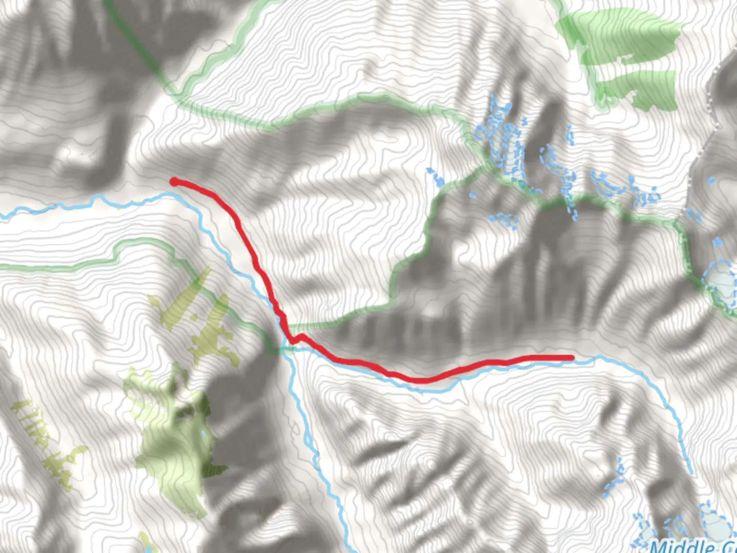
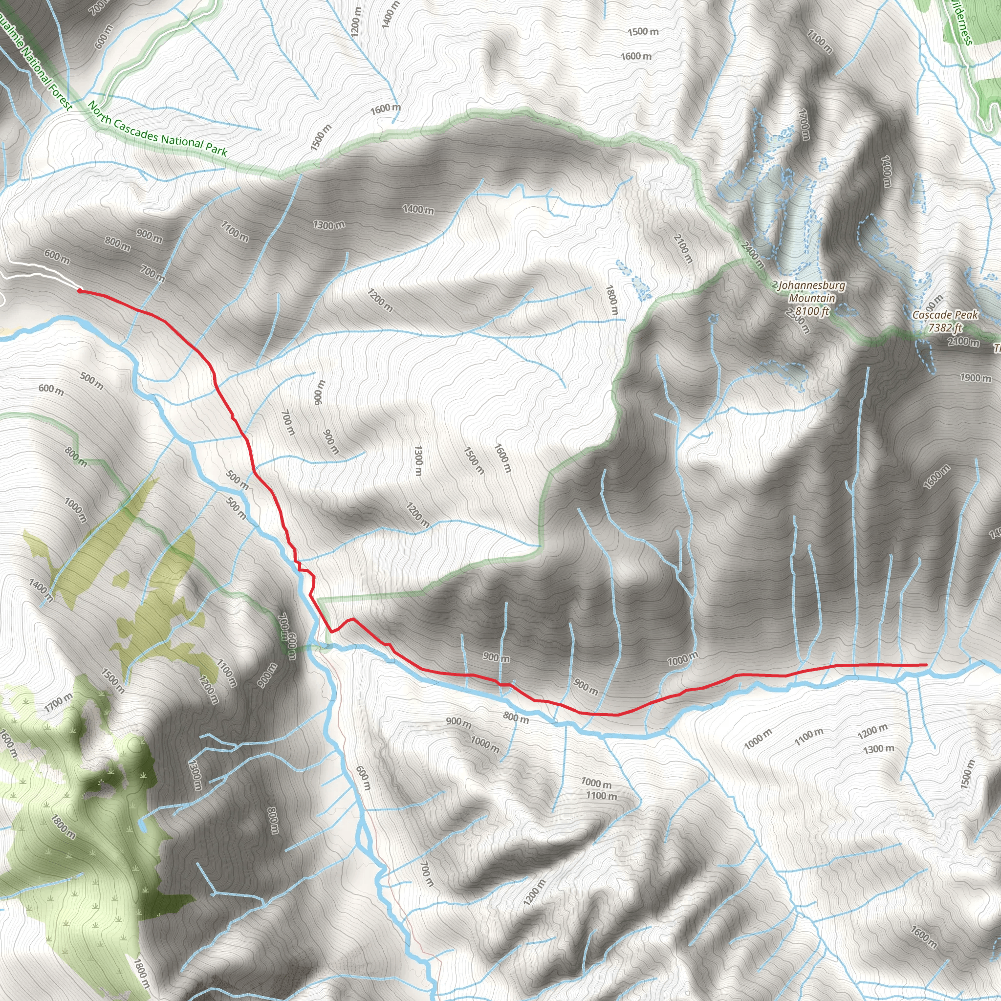
The Middle Fork Cascade River Trail is a captivating 14 km (8.7 miles) out-and-back trail located near Skagit County, Washington. With an elevation gain of approximately 700 meters (2,297 feet), this trail is rated as medium difficulty, making it suitable for moderately experienced hikers.### Getting There To reach the trailhead, you can drive or use public transportation. If driving, head towards the nearest significant landmark, Marblemount, WA. From Marblemount, take Cascade River Road for about 23 miles until you reach the trailhead. For those using public transport, the nearest bus stop is in Marblemount, from where you can arrange a taxi or rideshare to the trailhead.### Trail Overview The trail begins with a gentle ascent through lush, old-growth forest. The first 2 km (1.2 miles) are relatively easy, with a gradual elevation gain of about 100 meters (328 feet). This section is rich with towering Douglas firs and Western hemlocks, providing ample shade and a serene atmosphere.### Significant Landmarks and Nature Around the 3 km (1.9 miles) mark, you'll encounter the first significant landmark: a picturesque wooden bridge crossing over the Middle Fork Cascade River. This is an excellent spot for a short break and some photos. The river's crystal-clear waters and the surrounding moss-covered rocks create a tranquil setting.Continuing on, the trail becomes steeper, gaining another 200 meters (656 feet) in elevation over the next 2 km (1.2 miles). Here, you'll start to notice a change in the flora, with more ferns and underbrush appearing. Keep an eye out for wildlife; this area is home to black bears, deer, and various bird species, including the elusive marbled murrelet.### Historical Significance At approximately 6 km (3.7 miles) into the hike, you'll reach a viewpoint that offers stunning vistas of the surrounding Cascade Mountains. This area holds historical significance as it was once traversed by early settlers and explorers. The rugged terrain and breathtaking views give a sense of the challenges and awe these pioneers must have experienced.### Final Stretch The final 1 km (0.6 miles) to the turnaround point is the most challenging, with a steep ascent gaining about 150 meters (492 feet) in elevation. The effort is well worth it, as you'll be rewarded with a panoramic view of the Middle Fork Cascade River Valley and the distant peaks of the North Cascades.### Navigation and Safety Given the trail's moderate difficulty and varying terrain, it's advisable to use a reliable navigation tool like HiiKER to stay on track. The trail is well-marked, but having a digital map can provide extra assurance. Always carry enough water, snacks, and a first-aid kit. Weather in the Cascades can be unpredictable, so pack layers and be prepared for sudden changes.This trail offers a blend of natural beauty, historical context, and moderate physical challenge, making it a rewarding experience for those who venture into the heart of the North Cascades.
What to expect?
Activity types
Comments and Reviews
User comments, reviews and discussions about the Middle Fork Cascade River Trail, Washington.
4.0
average rating out of 5
3 rating(s)
