Twentyeight Mile Creek Road, Ranger Creek and White River Loop Trail
Download
Preview
Add to list
More
33.4 km
~1 day 4 hrs
1573 m
Loop
“Embark on a moderately challenging 33 km loop through lush forests, serene creeks, and breathtaking viewpoints.”
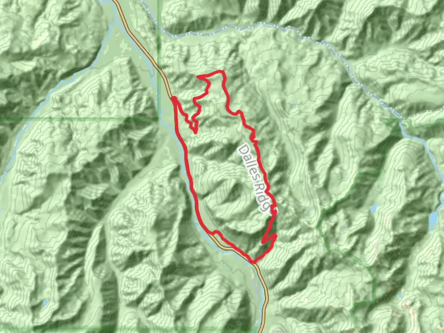
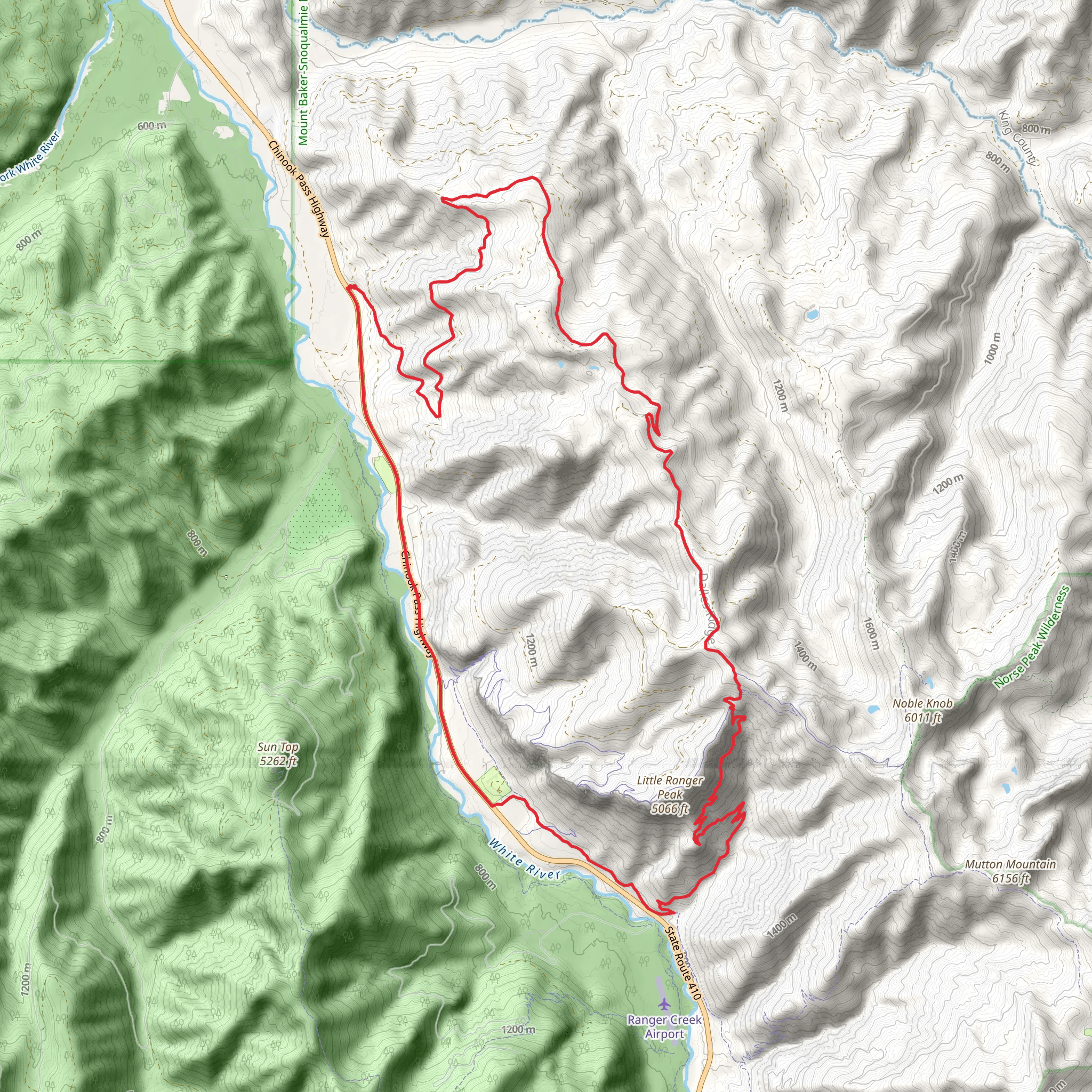
Starting near Pierce County, Washington, this 33 km (20.5 miles) loop trail offers a moderately challenging adventure with an elevation gain of approximately 1500 meters (4921 feet). The trailhead is accessible by car, with parking available near the Carbon River Ranger Station. For those using public transport, the nearest significant landmark is the town of Enumclaw, from where you can arrange a taxi or rideshare to the trailhead.### Trail OverviewThe Twentyeight Mile Creek Road, Ranger Creek, and White River Loop Trail is a diverse and scenic route that takes you through lush forests, along serene creeks, and up to breathtaking viewpoints. The trail is well-marked, but it's advisable to use HiiKER for navigation to ensure you stay on track.### Key Sections and Landmarks#### Twentyeight Mile Creek RoadThe initial section of the trail follows Twentyeight Mile Creek Road, a relatively gentle ascent through dense forest. This part of the trail is about 8 km (5 miles) long and gains approximately 300 meters (984 feet) in elevation. Keep an eye out for local wildlife, including deer and various bird species. The creek itself is a picturesque spot, perfect for a short break.#### Ranger CreekAs you transition onto the Ranger Creek section, the trail becomes steeper, gaining another 600 meters (1968 feet) over the next 10 km (6.2 miles). This part of the trail offers stunning views of the surrounding mountains and valleys. You'll pass by Ranger Creek Airstrip, a small, historical airstrip used during the early 20th century for forest patrols. The area is rich in history, with remnants of old cabins and logging equipment scattered along the trail.#### White River LoopThe final section of the loop takes you along the White River, a glacial river known for its milky white color due to suspended glacial silt. This part of the trail is about 15 km (9.3 miles) long and includes a mix of ascents and descents, with an elevation gain of around 600 meters (1968 feet). The river is a great spot for fishing, and you might even spot some salmon during the spawning season. The trail eventually loops back to the starting point near the Carbon River Ranger Station.### Flora and FaunaThe trail traverses a variety of ecosystems, from dense coniferous forests to alpine meadows. In spring and summer, wildflowers such as lupines and Indian paintbrushes are abundant. The area is also home to black bears, so carrying bear spray and knowing how to use it is recommended.### Preparation and SafetyGiven the moderate difficulty of the trail, it's important to be well-prepared. Bring plenty of water, snacks, and a first-aid kit. Weather can change rapidly in this region, so pack layers and rain gear. The trail can be muddy and slippery, especially after rain, so sturdy hiking boots are essential.Using HiiKER for navigation will help you stay on track and provide real-time updates on trail conditions. Cell service is limited, so download maps and information before you start your hike.This trail offers a rewarding experience for those prepared to tackle its challenges, with stunning natural beauty and historical significance making it a memorable adventure.
What to expect?
Activity types
Comments and Reviews
User comments, reviews and discussions about the Twentyeight Mile Creek Road, Ranger Creek and White River Loop Trail, Washington.
4.5
average rating out of 5
10 rating(s)
