Download
Preview
Add to list
More
2.6 km
~34 min
25 m
Out and Back
“The Interurban Trail - Jovita offers an accessible, scenic 3 km hike with historical landmarks and vibrant flora.”
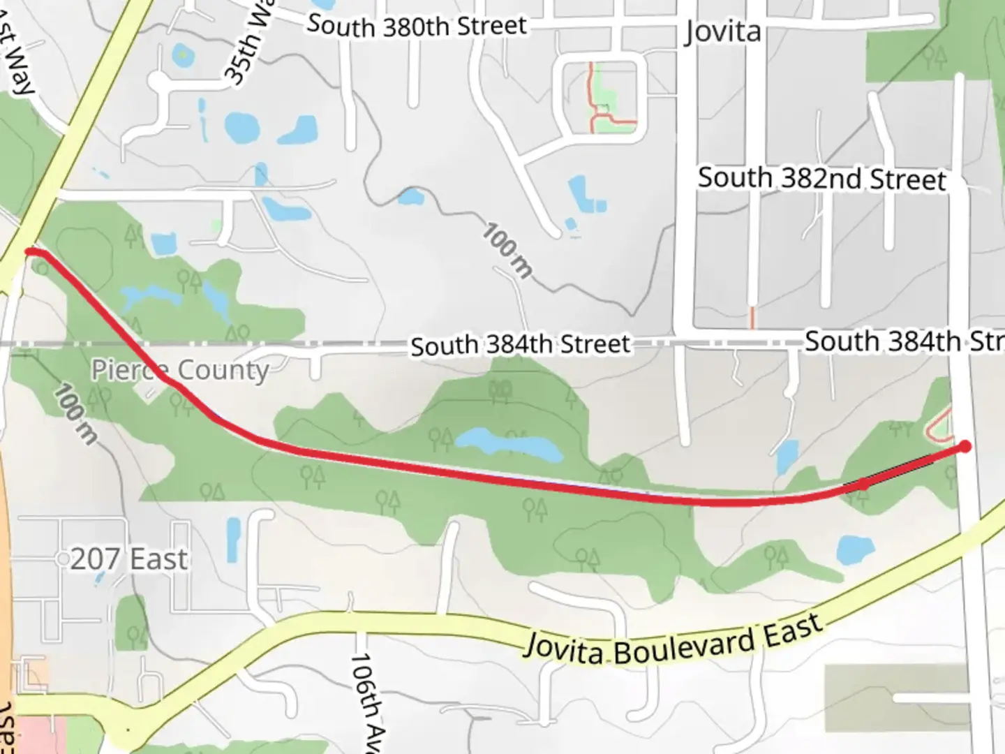
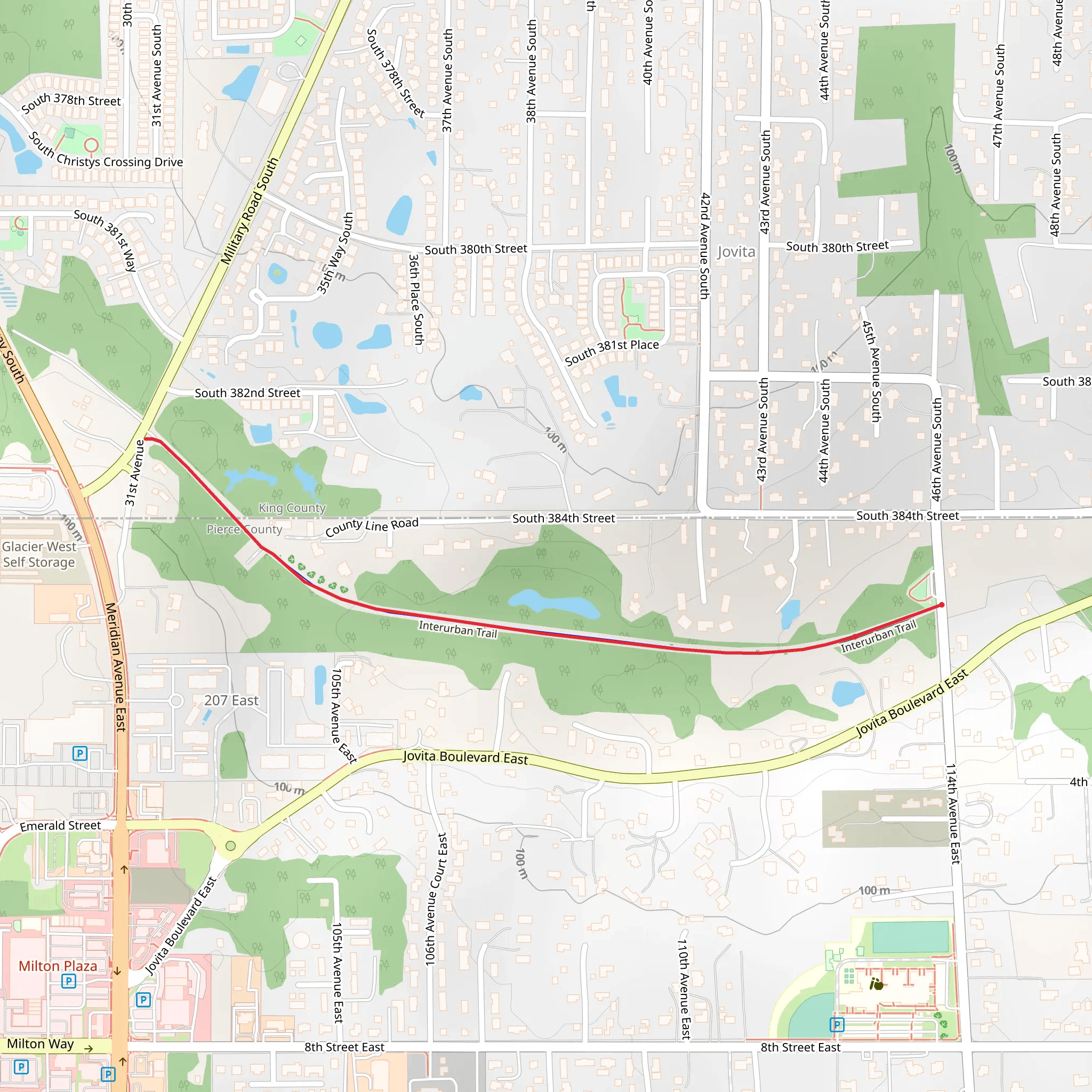
Starting near Pierce County, Washington, the Interurban Trail - Jovita - Interurban Trail Park is an inviting 3 km (approximately 1.86 miles) out-and-back trail with no significant elevation gain, making it accessible for a wide range of hikers. The trailhead is conveniently located near the intersection of Jovita Boulevard East and 8th Street East, which is easily accessible by car or public transport. If you're driving, there is parking available nearby. For those using public transport, the nearest bus stop is at Jovita Boulevard East, serviced by local transit routes.
Trail Overview
As you embark on this trail, you'll find yourself immersed in a serene environment that offers a mix of urban and natural landscapes. The trail is well-maintained and primarily paved, making it suitable for walking, running, and even cycling. Despite its urban proximity, the trail provides a peaceful escape with plenty of greenery and occasional wildlife sightings.
Flora and Fauna
The trail is lined with a variety of native plants and trees, including Douglas firs, western red cedars, and bigleaf maples. During spring and summer, you'll be greeted by vibrant wildflowers such as lupines and trilliums. Keep an eye out for local wildlife, including squirrels, rabbits, and a variety of bird species like robins, sparrows, and occasionally, hawks.
Significant Landmarks
Approximately 1 km (0.62 miles) into the trail, you'll come across a charming wooden bridge that spans a small creek. This is a great spot for a quick rest and some picturesque photos. Continuing along the trail, you'll pass by several interpretive signs that provide information about the local ecosystem and the history of the area.
Historical Significance
The Interurban Trail follows the route of the historic Interurban Railway, which operated in the early 20th century, connecting Tacoma and Seattle. This railway was a vital transportation link for the region, and remnants of the old tracks can still be seen in some sections of the trail. These historical markers offer a glimpse into the past and the development of the region.
Navigation and Safety
For navigation, it's recommended to use the HiiKER app, which provides detailed maps and real-time updates. The trail is well-marked, but having a reliable navigation tool ensures you stay on track. While the trail is generally safe, it's always a good idea to hike with a buddy or inform someone of your plans, especially if you're hiking alone.
Getting There
To reach the trailhead by car, head towards the intersection of Jovita Boulevard East and 8th Street East. There is ample parking available near this junction. If you're using public transport, take the local bus to the Jovita Boulevard East stop, which is a short walk from the trailhead.
This trail offers a perfect blend of natural beauty and historical intrigue, making it a rewarding experience for both novice and seasoned hikers.
What to expect?
Activity types
Comments and Reviews
User comments, reviews and discussions about the Interurban Trail - Jovita - Interurban Trail Park, Washington.
4.35
average rating out of 5
20 rating(s)
