Doe Falls via Suntop Trail - Ranger Creek State Airport
Download
Preview
Add to list
More
9.1 km
~2 hrs 52 min
632 m
Out and Back
“Embark on the scenic 9-kilometer Doe Falls via Suntop Trail for a moderately challenging Pacific Northwest adventure.”
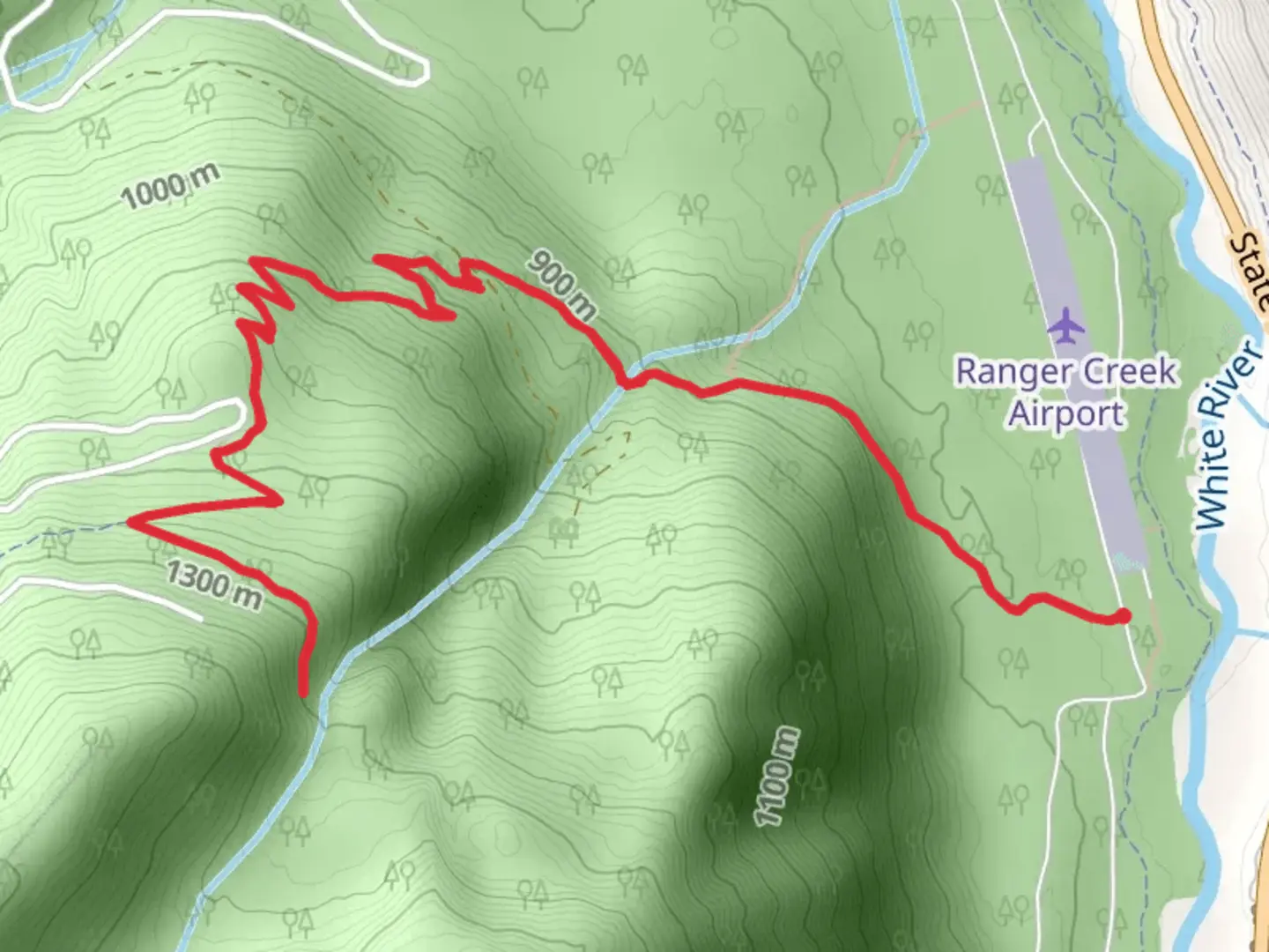
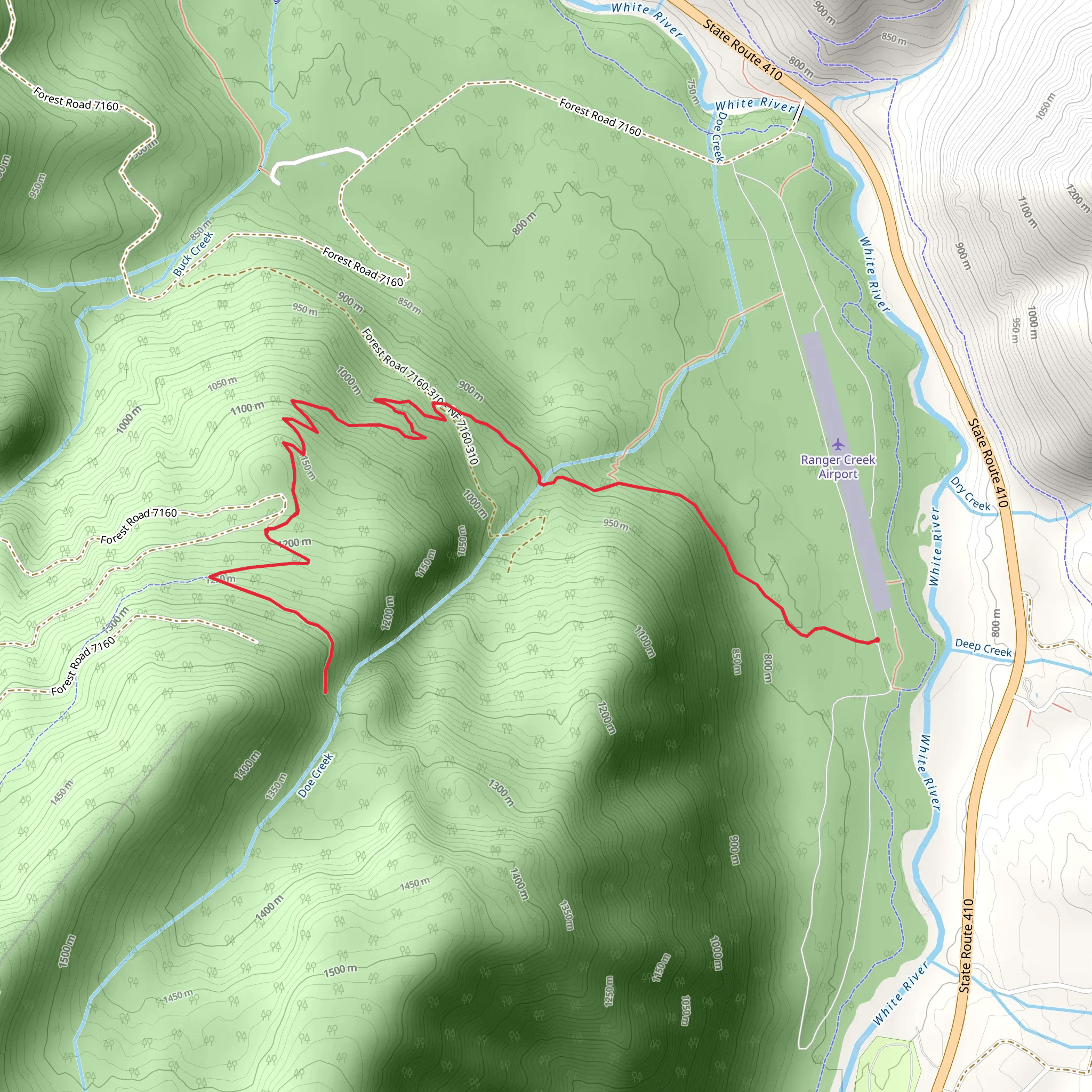
Starting your adventure near Pierce County, Washington, the Doe Falls via Suntop Trail - Ranger Creek State Airport offers a captivating journey through the lush landscapes of the Pacific Northwest. This out-and-back trail spans approximately 9 kilometers (5.6 miles) with an elevation gain of around 600 meters (1,968 feet), making it a moderately challenging hike suitable for those with some hiking experience.
Getting There To reach the trailhead, you can drive or use public transportation. If driving, head towards the Ranger Creek State Airport, located near the town of Greenwater, WA. The nearest significant landmark is the Greenwater General Store, which is a good place to stock up on last-minute supplies. For those using public transport, you can take a bus to Enumclaw, WA, and then arrange for a taxi or rideshare to the trailhead.
Trail Overview The trail begins near the Ranger Creek State Airport, a small airstrip nestled in the forest. From here, you'll embark on a journey through dense forests, characterized by towering Douglas firs and western hemlocks. The initial section of the trail is relatively gentle, allowing you to ease into the hike.
Key Landmarks and Elevation At approximately 2 kilometers (1.2 miles) into the hike, you'll encounter a series of switchbacks that mark the beginning of a steeper ascent. This section can be quite demanding, so take your time and enjoy the surrounding flora. As you climb, you'll gain about 300 meters (984 feet) in elevation over the next 2 kilometers (1.2 miles).
Wildlife and Nature The trail is home to a variety of wildlife, including black-tailed deer, black bears, and numerous bird species. Keep an eye out for the vibrant Pacific wren and the elusive northern spotted owl. The forest floor is often carpeted with ferns and mosses, adding to the trail's enchanting atmosphere.
Historical Significance This region has a rich history, with the trail passing through areas once used by Native American tribes for hunting and gathering. The nearby Greenwater River was historically significant for its salmon runs, which were a vital resource for the indigenous peoples.
Reaching Doe Falls Around the 4.5-kilometer (2.8-mile) mark, you'll reach Doe Falls, a picturesque waterfall cascading down a rocky cliff. The falls are particularly impressive in the spring when the snowmelt swells the flow of water. This is a great spot to take a break, enjoy a snack, and soak in the natural beauty.
Navigation and Safety Given the moderate difficulty of the trail, it's advisable to use a reliable navigation tool like HiiKER to stay on track. The trail is well-marked, but having a digital map can provide extra assurance. Always carry enough water, wear sturdy hiking boots, and be prepared for changing weather conditions.
Return Journey After enjoying Doe Falls, retrace your steps back to the trailhead. The descent can be easier on the legs, but remain cautious on the steeper sections to avoid slips and falls. The entire hike typically takes around 4 to 5 hours, depending on your pace and the time spent at the falls.
This trail offers a rewarding experience with its combination of natural beauty, wildlife, and historical significance. Whether you're a seasoned hiker or looking to challenge yourself, the Doe Falls via Suntop Trail is a fantastic choice.
What to expect?
Activity types
Comments and Reviews
User comments, reviews and discussions about the Doe Falls via Suntop Trail - Ranger Creek State Airport, Washington.
4.5
average rating out of 5
10 rating(s)
