Download
Preview
Add to list
More
14.1 km
~1 day 0 hrs
1475 m
Out and Back
“Hikers ascend the majestic Skyline Trail to Camp Muir, weaving through meadows, past Panorama Point, and up challenging terrain for awe-inspiring views.”
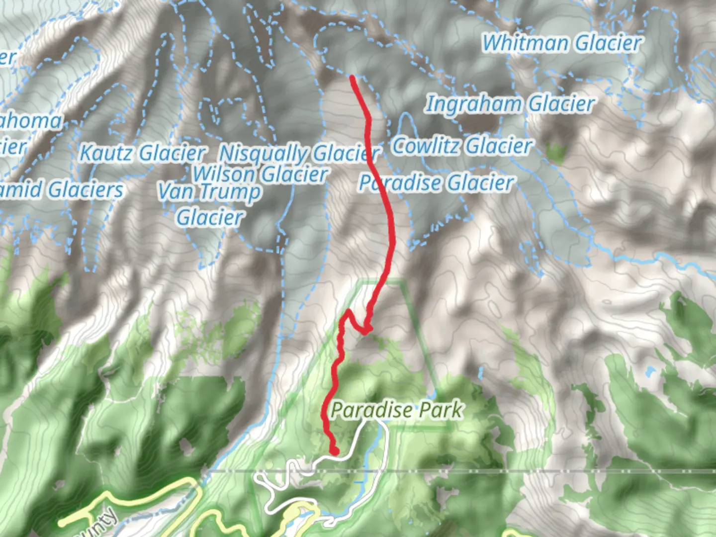
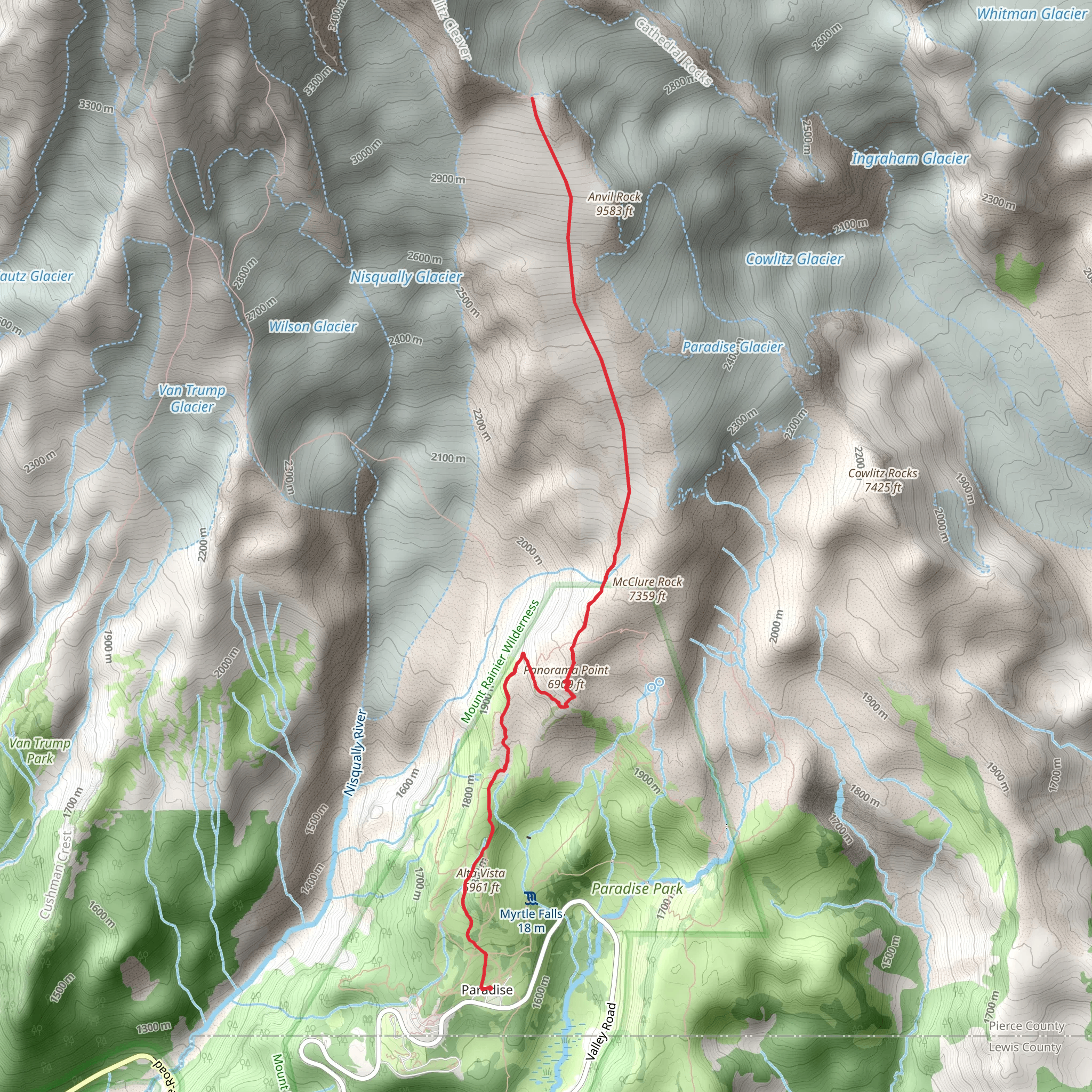
Embarking on the Camp Muir and Panorama Point via Skyline Trail, hikers will find themselves on a journey through the stunning landscapes of Mount Rainier National Park. The trailhead is conveniently located at the Paradise parking area, which is accessible by car. From the Nisqually Entrance of the park, drive east on Paradise Road for about 17 miles until you reach the parking lot. Public transportation options are limited, but during the summer months, the Mount Rainier Shuttle operates from Ashford to Paradise, with stops at Longmire and Narada Falls.
Starting the Ascent
The hike begins at an elevation of around 5,400 feet near Pierce County, Washington, and covers a round trip distance of approximately 14 km (8.7 miles), with an elevation gain of roughly 1,400 meters (4,600 feet). The trail type is out-and-back, and it's rated as medium difficulty, though the high elevation and steep sections can be challenging for some.
Through Meadows and Over Streams
As you set out from the trailhead, the path takes you through lush subalpine meadows dotted with wildflowers, especially vibrant in the late spring and summer months. The trail is well-maintained and marked, making navigation straightforward. Hikers can use the HiiKER app to keep track of their progress and ensure they're on the right path.
After about 2.5 km (1.5 miles), you'll reach Panorama Point, which offers breathtaking views of Mount Rainier and the Nisqually Glacier. This is a popular spot for a short rest and photo opportunities. The elevation gain to this point is around 460 meters (1,500 feet).
The Climb to Camp Muir
Continuing from Panorama Point, the trail becomes more challenging, with rocky terrain and snowfields that persist well into the summer. Proper equipment, such as traction devices for boots, may be necessary depending on the conditions. The climb to Camp Muir is strenuous, but the panoramic views of the surrounding peaks and valleys are a rewarding experience.
Camp Muir sits at an elevation of approximately 10,000 feet and serves as a base camp for those attempting to summit Mount Rainier. The historic camp is named after naturalist John Muir, who was instrumental in the establishment of national parks in the United States.
Wildlife and Preservation
Throughout the hike, you may encounter a variety of wildlife, including marmots, pikas, and the occasional black bear. It's important to keep a safe distance from all wildlife and to follow Leave No Trace principles to protect the delicate ecosystem.
Return Journey
After reaching Camp Muir and taking in the stunning vistas, hikers will retrace their steps back down to the trailhead. The descent can be just as challenging as the ascent, with tired legs and the potential for slippery conditions on snow and loose rock.
Preparation and Safety
Given the elevation and potential for rapidly changing weather, it's crucial to be well-prepared with appropriate clothing, plenty of water, and extra food. It's also wise to check the weather forecast and trail conditions before setting out, as the upper sections of the trail can be dangerous in poor weather.
By following these guidelines and being prepared for the physical demands, hikers can enjoy a memorable experience on the Camp Muir and Panorama Point via Skyline Trail, taking in the natural beauty and historical significance of this iconic region of Mount Rainier National Park.
What to expect?
Activity types
Comments and Reviews
User comments, reviews and discussions about the Camp Muir and Panorama Point via Skyline Trail, Washington.
4.5
average rating out of 5
8 rating(s)
