Download
Preview
Add to list
More
12.4 km
~3 hrs 28 min
591 m
Out and Back
“Embark on a 12-kilometer hike through diverse forests, rich history, and breathtaking views atop Shedroof Mountain.”
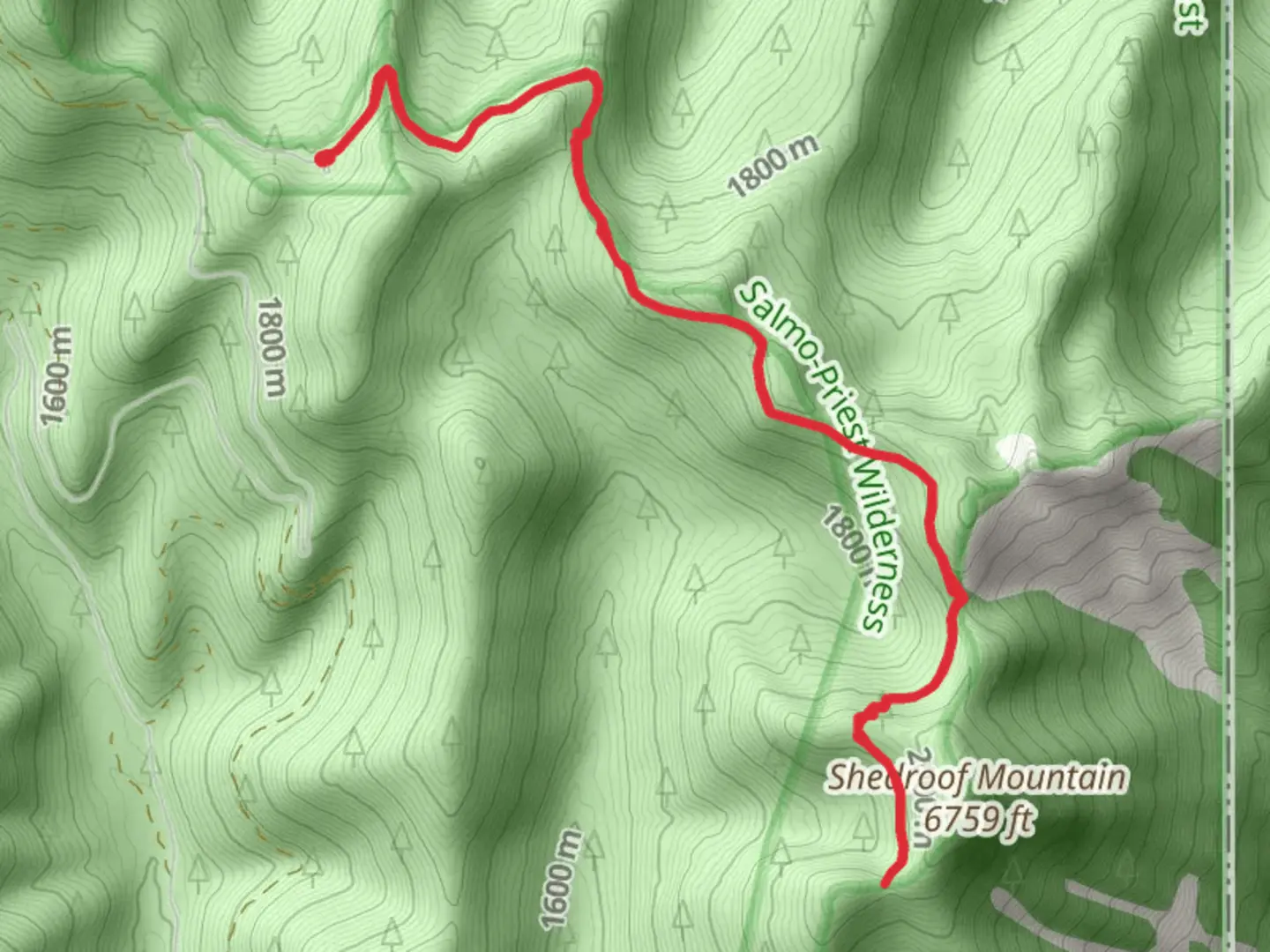
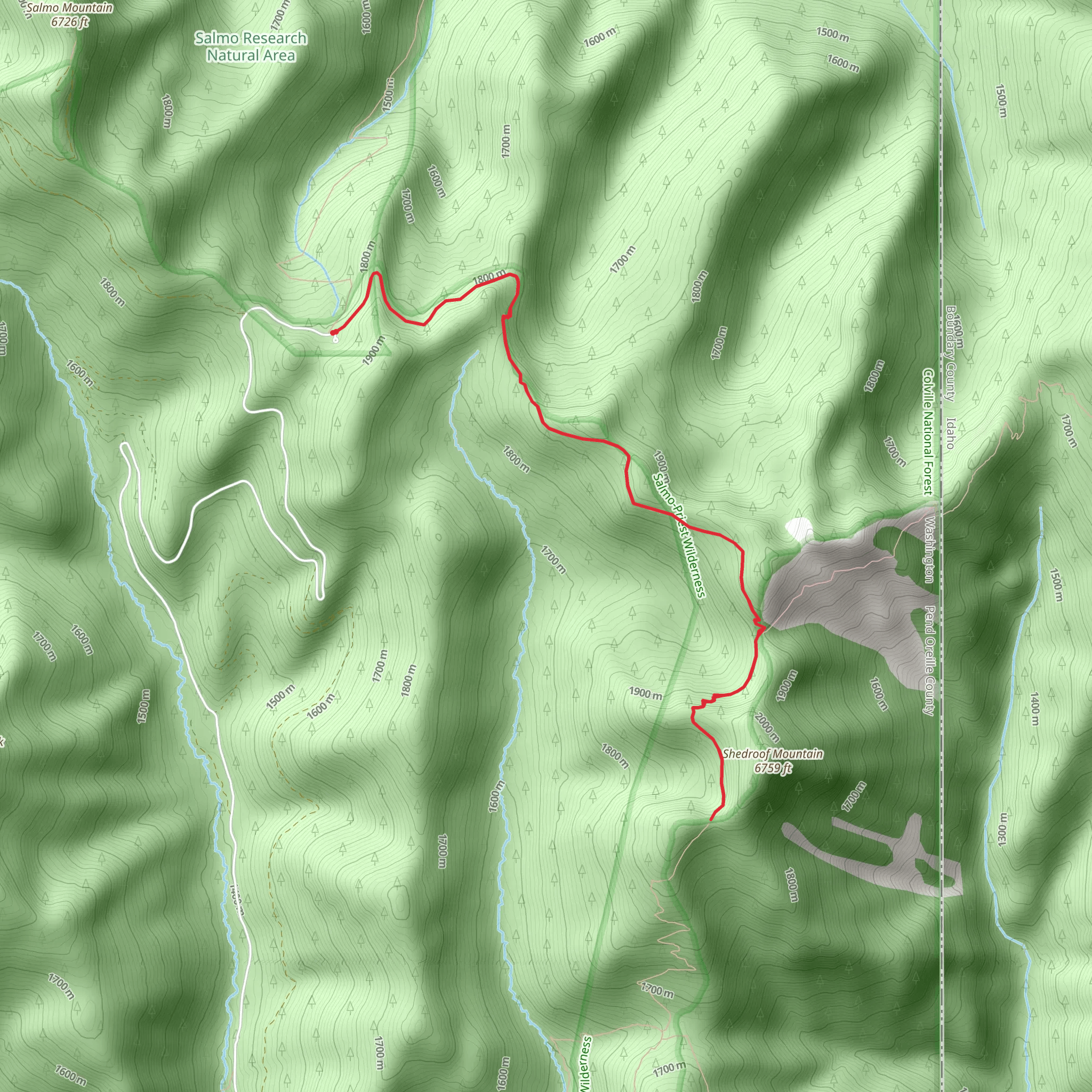
Starting near Pend Oreille County, Washington, the trailhead for the Walk towards Shedroof Mountain via Sullivan Salmo can be accessed by car. If you're coming from Spokane, head north on US-2 and then take WA-20 east towards Pend Oreille County. The nearest significant landmark is the Sullivan Lake Campground, which is a good place to park and begin your hike. Public transport options are limited in this remote area, so driving is recommended.The trail spans approximately 12 kilometers (7.5 miles) with an elevation gain of around 500 meters (1,640 feet). This out-and-back trail is rated as medium difficulty, making it suitable for hikers with some experience.### Initial Ascent and Forested SectionsThe first part of the trail takes you through dense forest, primarily composed of Douglas fir, western red cedar, and hemlock. The initial ascent is gradual, allowing you to acclimate to the elevation gain. After about 2 kilometers (1.2 miles), you'll start to notice the forest thinning out, offering glimpses of the surrounding landscape.### Wildlife and FloraAs you continue, keep an eye out for local wildlife. Deer and elk are common in this region, and you might even spot a black bear if you're lucky. Birdwatchers will appreciate the variety of species, including the occasional bald eagle soaring overhead. The trail is also rich in wildflowers during the spring and summer months, with lupines and Indian paintbrush adding splashes of color to the scenery.### Midpoint and Scenic OverlooksAround the 6-kilometer (3.7-mile) mark, you'll reach a series of scenic overlooks. These spots offer breathtaking views of the Selkirk Mountains and the expansive valleys below. Take a moment to rest and enjoy the panorama; it's a great place for a snack break. The elevation gain becomes more noticeable here, so pace yourself as you continue the ascent.### Historical SignificanceThis region has a rich history, particularly related to the indigenous Salish people who have inhabited the area for thousands of years. The trail itself follows routes that were once used for hunting and gathering. Additionally, during the early 20th century, the area saw a surge in mining activity, remnants of which can still be seen in the form of old mining equipment and abandoned cabins along the trail.### Final Ascent to Shedroof MountainThe final push towards Shedroof Mountain is the most challenging part of the hike. The trail becomes steeper and rockier, requiring careful footing. However, the effort is well worth it. Upon reaching the summit, you'll be rewarded with 360-degree views of the surrounding wilderness. On a clear day, you can see as far as the Canadian Rockies to the north and the Columbia River to the south.### Navigation and SafetyGiven the remote nature of this trail, it's crucial to have reliable navigation tools. The HiiKER app is highly recommended for its detailed maps and offline capabilities. Make sure to download the trail map before you set out, as cell service can be spotty.### Return JourneyThe return journey follows the same path, allowing you to revisit the scenic overlooks and perhaps spot wildlife you missed on the way up. Descending can be tough on the knees, so trekking poles are advisable for added stability.This trail offers a mix of natural beauty, wildlife, and historical intrigue, making it a rewarding experience for those who undertake it.
What to expect?
Activity types
Comments and Reviews
User comments, reviews and discussions about the Walk towards Shedroof Mountain via Sullivan Salmo, Washington.
4.33
average rating out of 5
9 rating(s)
