Download
Preview
Add to list
More
17.1 km
~1 day 0 hrs
1084 m
Out and Back
“Explore Bead Lake Trail's scenic vistas, wildlife, and rich history on this invigorating 17-kilometer hike.”
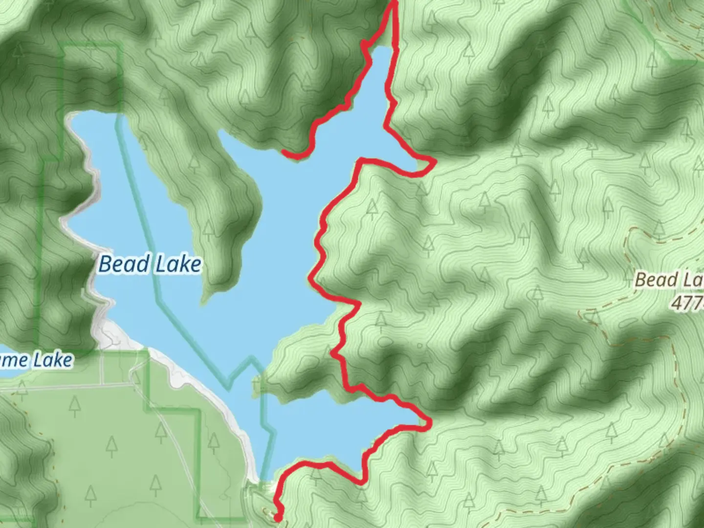
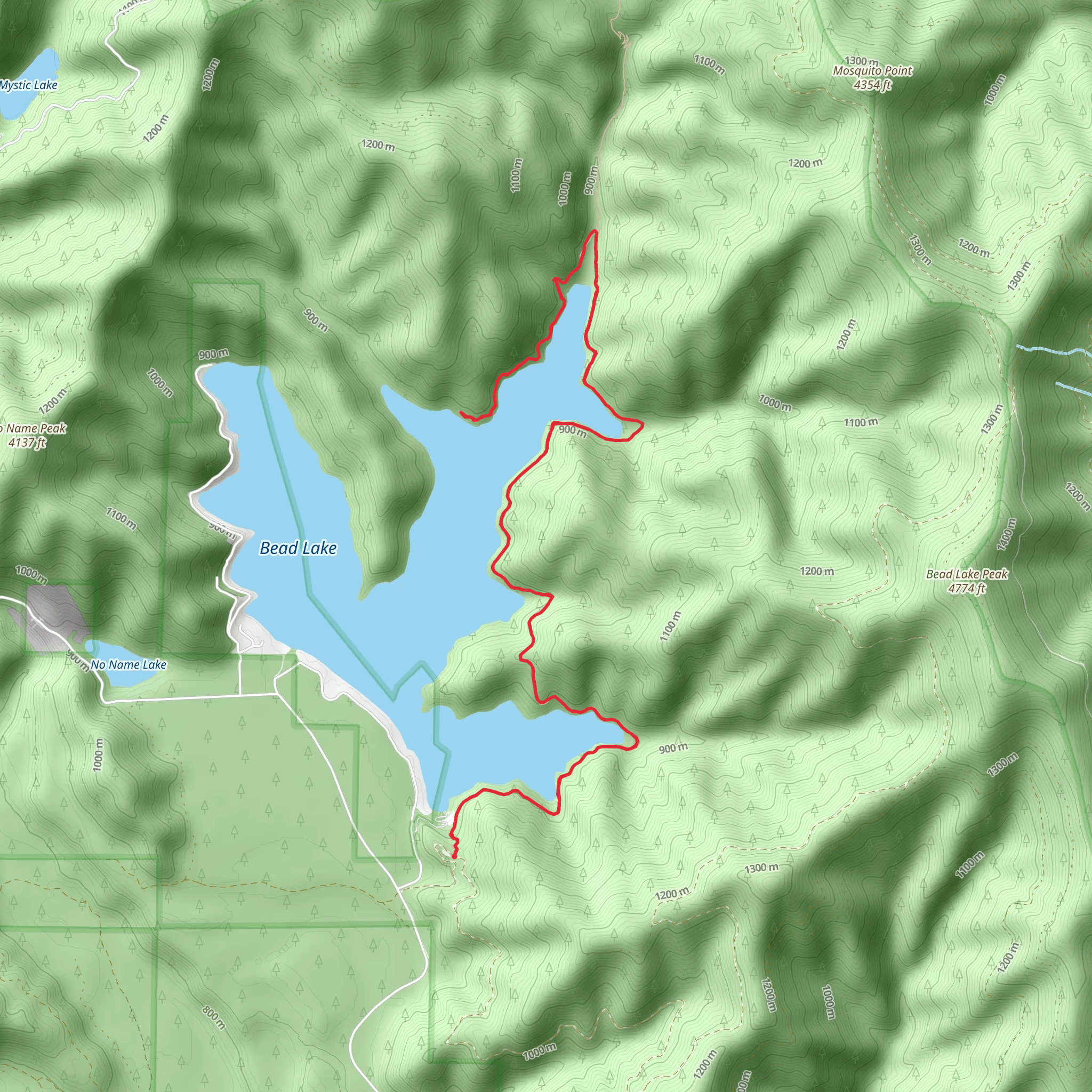
Starting near Pend Oreille County, Washington, the Bead Lake Trail - East is an invigorating out-and-back hike that spans approximately 17 kilometers (10.5 miles) with an elevation gain of around 1000 meters (3280 feet). This trail is rated as medium difficulty, making it suitable for moderately experienced hikers.
Getting There To reach the trailhead, you can drive or use public transport. If driving, head towards the town of Newport, Washington. From Newport, take Highway 20 north for about 10 miles (16 kilometers) until you reach Bead Lake Road. Follow Bead Lake Road for another 5 miles (8 kilometers) to the trailhead parking area. For those using public transport, the nearest significant landmark is Newport, WA, where you can catch a local taxi or rideshare service to the trailhead.
Trail Overview The trail begins with a gentle ascent through a dense forest of Douglas fir, western red cedar, and hemlock. The first 2 kilometers (1.2 miles) offer a relatively easy walk, allowing you to acclimate to the terrain. As you progress, the trail becomes steeper, gaining elevation more rapidly.
Significant Landmarks and Nature Around the 4-kilometer (2.5-mile) mark, you'll encounter the first significant viewpoint overlooking Bead Lake. This is a great spot to take a break and enjoy the panoramic views of the lake and surrounding forest. Continuing on, the trail meanders along the eastern shore of Bead Lake, offering multiple opportunities to spot local wildlife such as deer, black bears, and a variety of bird species including bald eagles and ospreys.
Historical Significance Bead Lake itself holds historical significance. The area was originally inhabited by the Kalispel Tribe, and the lake was named for the glass beads that were traded among Native American tribes. As you hike, you may come across interpretive signs that provide more information about the region's history and its indigenous people.
Navigation and Safety The trail is well-marked, but it's always a good idea to have a reliable navigation tool. HiiKER is recommended for its detailed maps and real-time updates. Be mindful of the weather conditions, as the trail can become slippery and challenging during rain or snow. Carry sufficient water, snacks, and a first-aid kit.
Final Stretch The final 3 kilometers (1.8 miles) of the trail are the most challenging, with a steep ascent that will test your endurance. However, the effort is well worth it as you reach the highest point of the trail, offering breathtaking views of the surrounding landscape. After taking in the scenery, retrace your steps back to the trailhead.
This hike offers a blend of natural beauty, wildlife, and historical significance, making it a rewarding experience for those who undertake it.
What to expect?
Activity types
Comments and Reviews
User comments, reviews and discussions about the Bead Lake Trail - East, Washington.
4.59
average rating out of 5
17 rating(s)
