Download
Preview
Add to list
More
21.5 km
~1 day 0 hrs
457 m
Point-to-Point
“Embark on the Scheiner Creek Walk for a scenic 22-kilometer hike rich in nature and history.”
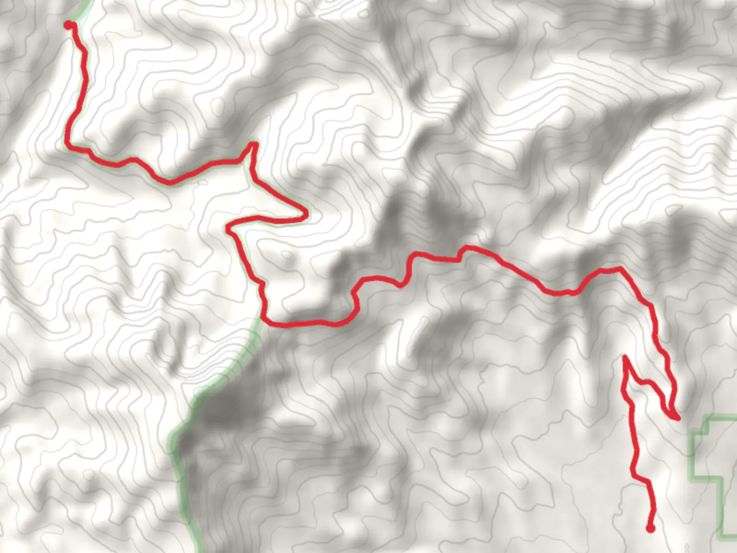
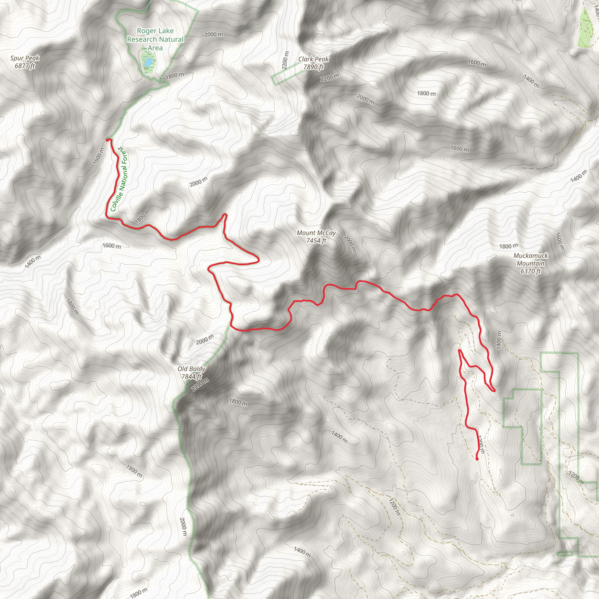
Starting near Okanogan County, Washington, the Scheiner Creek Walk is a captivating point-to-point trail stretching approximately 22 kilometers (around 13.7 miles) with an elevation gain of about 400 meters (1,312 feet). This medium-difficulty trail offers a blend of natural beauty, historical significance, and diverse wildlife, making it a rewarding experience for hikers.### Getting ThereTo reach the trailhead, you can drive or use public transportation. If driving, head towards Okanogan County and look for parking near the intersection of Highway 20 and Aeneas Valley Road. For those using public transport, the nearest bus stop is in Omak, Washington. From Omak, you can take a taxi or rideshare service to the trailhead, which is approximately a 30-minute drive.### Trail OverviewThe Scheiner Creek Walk begins with a gentle ascent through a mixed forest of pine and fir trees. The first 5 kilometers (3.1 miles) are relatively easy, with an elevation gain of about 100 meters (328 feet). This section is perfect for warming up and getting accustomed to the terrain. Keep an eye out for deer and various bird species, including woodpeckers and hawks.### Mid-Trail HighlightsAround the 10-kilometer (6.2-mile) mark, you'll encounter a series of small, picturesque waterfalls along Scheiner Creek. This is an excellent spot to take a break, enjoy a snack, and soak in the serene surroundings. The elevation gain here is more noticeable, with an additional 150 meters (492 feet) over the next 5 kilometers (3.1 miles).As you continue, the trail opens up to a meadow filled with wildflowers during the spring and summer months. This area is also home to several historical markers, indicating the presence of early settlers and indigenous tribes who once inhabited the region. Take a moment to read these markers and appreciate the rich history of the area.### Final StretchThe last 7 kilometers (4.3 miles) of the trail involve a gradual descent back into a denser forest. This section can be a bit challenging due to the uneven terrain and occasional muddy patches, especially after rainfall. The final 150 meters (492 feet) of elevation loss can be steep in some areas, so watch your footing.### Wildlife and NatureThroughout the hike, you'll have the opportunity to see a variety of wildlife. Black bears are known to inhabit the area, so carrying bear spray and making noise as you hike is advisable. Smaller mammals like raccoons and squirrels are also common. The flora is equally diverse, with towering Douglas firs, vibrant wildflowers, and lush ferns lining the path.### NavigationFor navigation, it's highly recommended to use the HiiKER app, which provides detailed maps and real-time updates. The trail is well-marked, but having a reliable navigation tool will ensure you stay on track and can enjoy the hike without any worries.### Historical SignificanceThe Scheiner Creek Walk is not just a natural wonder but also a historical treasure. The trail passes through areas that were once home to indigenous tribes and early settlers. You'll find remnants of old cabins and tools, offering a glimpse into the lives of those who lived here centuries ago. These historical elements add a layer of depth to the hike, making it a journey through both nature and time.Prepare adequately with water, snacks, and appropriate gear, and you'll find the Scheiner Creek Walk to be a memorable and enriching experience.
What to expect?
Comments and Reviews
User comments, reviews and discussions about the Scheiner Creek Walk, Washington.
4.46
average rating out of 5
13 rating(s)
