Download
Preview
Add to list
More
19.1 km
~4 hrs 16 min
273 m
Loop
“Explore Oak Patch Lake and Mission Creek Trail: a scenic, moderate 19 km loop with rich flora and history.”
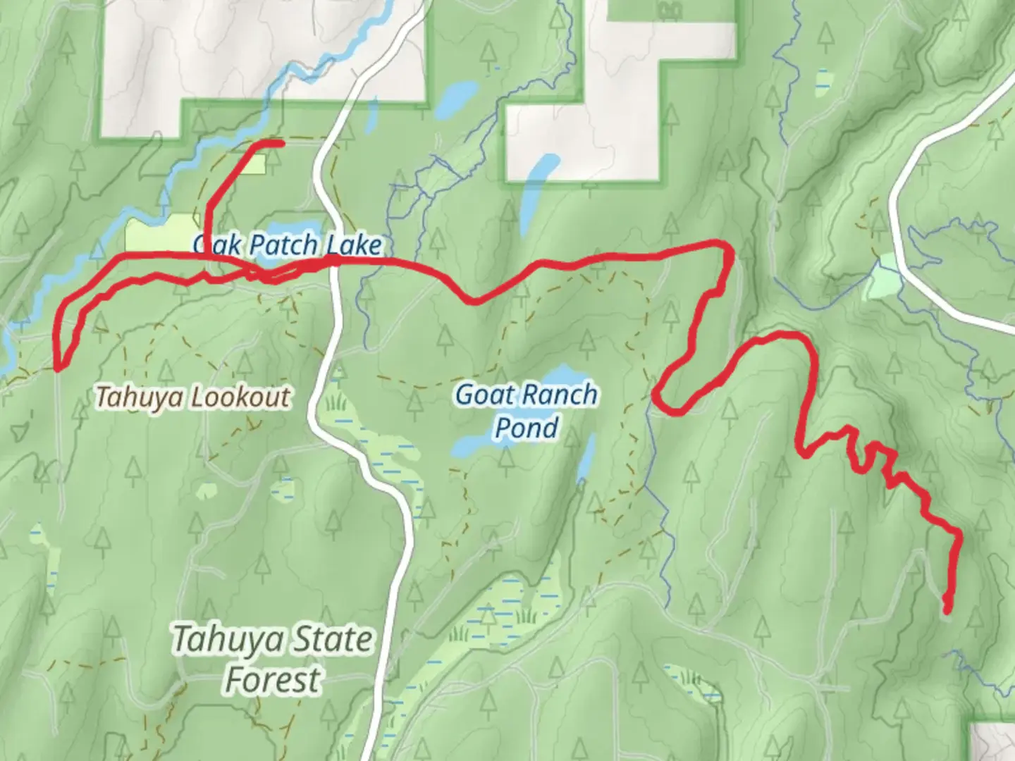
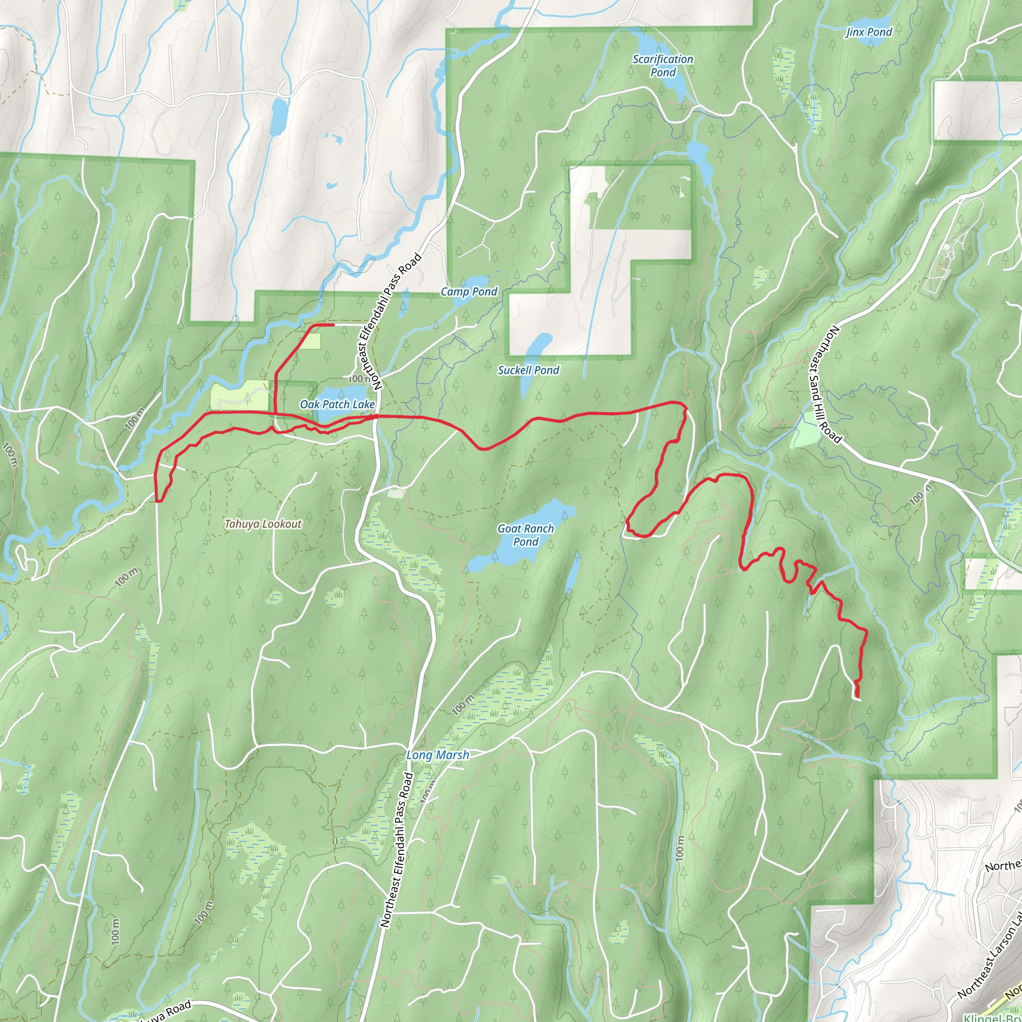
Starting your adventure near Mason County, Washington, the Oak Patch Lake and Mission Creek Trail offers a scenic 19 km (approximately 11.8 miles) loop with an elevation gain of around 200 meters (656 feet). This trail is rated as medium difficulty, making it suitable for moderately experienced hikers.### Getting There To reach the trailhead, you can drive or use public transport. If driving, head towards Mason County and look for the nearest significant landmark, which is the town of Shelton. From Shelton, follow local roads to the trailhead. For those using public transport, buses run from major cities like Olympia to Shelton, from where you can take a taxi or rideshare to the trailhead.### Trail Overview The trail begins with a gentle ascent through dense forest, offering a mix of Douglas fir, western hemlock, and red cedar. After about 3 km (1.9 miles), you'll reach the first significant landmark, Oak Patch Lake. This serene lake is a great spot for a short break, where you can enjoy the reflections of the surrounding trees on the water.### Wildlife and Flora As you continue, keep an eye out for local wildlife. Deer, raccoons, and various bird species are commonly spotted along this trail. In spring and early summer, the trail is adorned with wildflowers like trillium and lupine, adding vibrant colors to your hike.### Mission Creek Around the 8 km (5 miles) mark, you'll encounter Mission Creek. This section of the trail runs parallel to the creek for about 2 km (1.2 miles), offering soothing sounds of flowing water and opportunities to spot fish and amphibians. The creek area is also a good place to refill your water bottles, but make sure to purify the water before drinking.### Historical Significance The region around Mission Creek has historical significance dating back to the early 1900s when it was a hub for logging activities. Remnants of old logging equipment and cabins can still be found along the trail, providing a glimpse into the area's past.### Elevation Gain The trail's elevation gain is gradual, with the most significant climb occurring between the 10 km (6.2 miles) and 14 km (8.7 miles) marks. This section takes you up to a ridge offering panoramic views of the surrounding forest and distant mountains. The climb is steady but manageable, making it a rewarding challenge for hikers.### Navigation For navigation, it's highly recommended to use HiiKER, which provides detailed maps and real-time GPS tracking to ensure you stay on the right path. The trail is well-marked, but having a reliable navigation tool adds an extra layer of security.### Final Stretch The final stretch of the trail descends back towards the trailhead, passing through a mix of open meadows and forested areas. This section is relatively easy, allowing you to cool down and reflect on the diverse landscapes you've traversed.### Practical Tips - Wear sturdy hiking boots as the trail can be muddy in sections, especially after rain. - Bring plenty of water and snacks, as there are limited facilities along the route. - Check the weather forecast before heading out, as conditions can change rapidly in this region.This trail offers a well-rounded hiking experience with its mix of natural beauty, wildlife, and historical elements, making it a must-visit for those exploring the Mason County area.
What to expect?
Comments and Reviews
User comments, reviews and discussions about the Oak Patch Lake and Mission Creek Trail, Washington.
4.75
average rating out of 5
4 rating(s)
