Download
Preview
Add to list
More
17.6 km
~1 day 0 hrs
893 m
Point-to-Point
“Embark on a scenic 18 km hike through lush landscapes, stunning waterfalls, and historic trails near Mount Rainier.”
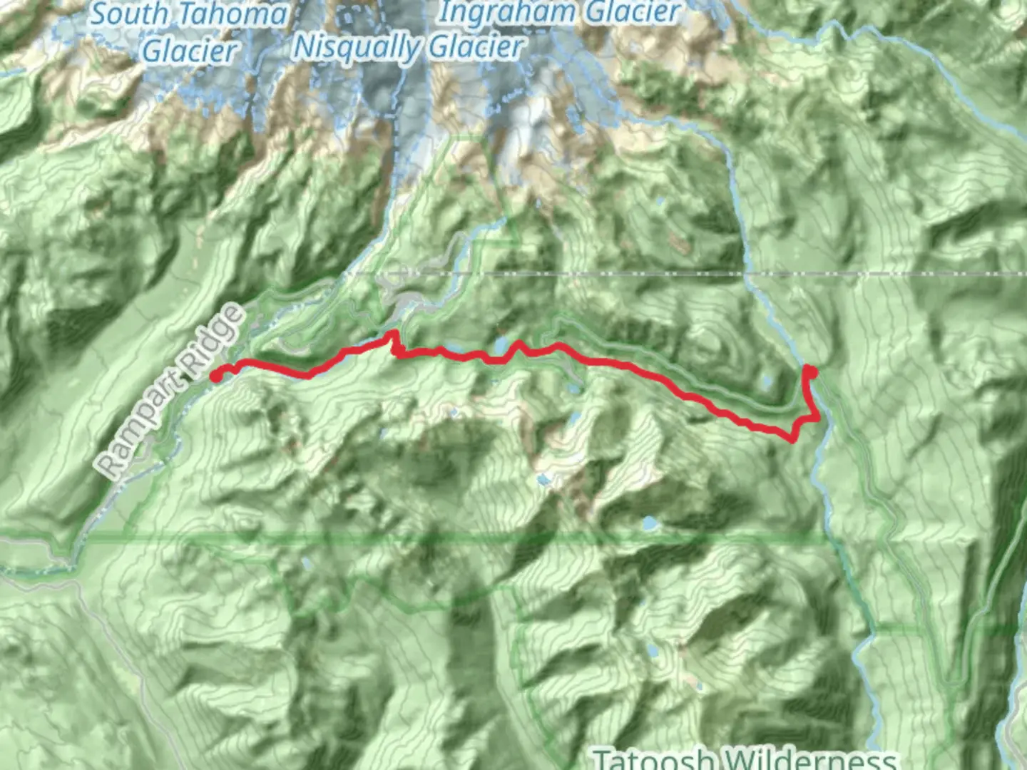
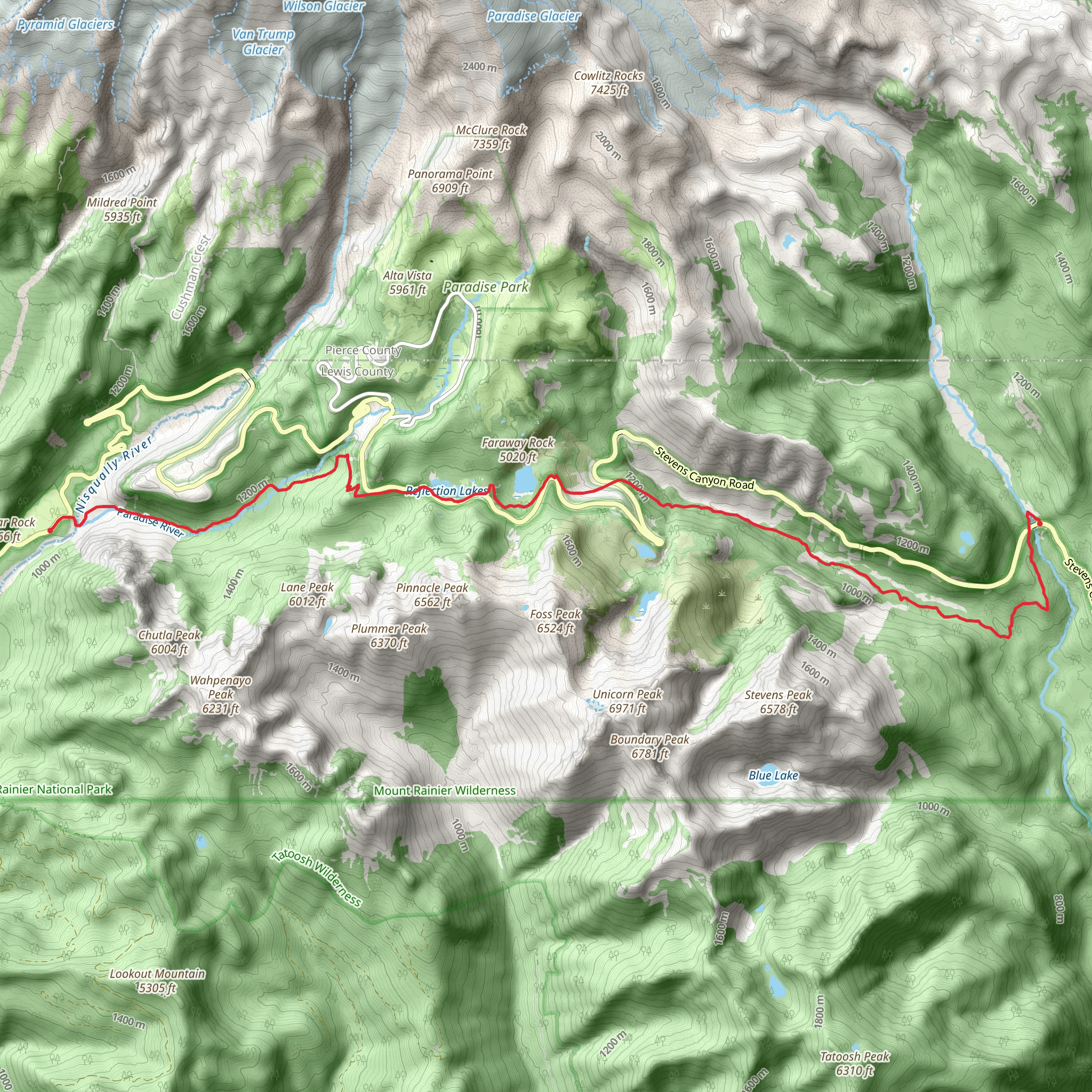
Starting near Lewis County, Washington, the Wonderland Trail from Stevens Canyon Road is a captivating 18 km (approximately 11 miles) point-to-point hike with an elevation gain of around 800 meters (about 2,625 feet). This trail is rated as medium difficulty, making it suitable for moderately experienced hikers.### Getting There To reach the trailhead, you can drive or use public transportation. If driving, head towards Lewis County, Washington, and look for Stevens Canyon Road. The nearest significant landmark is the Stevens Canyon Entrance to Mount Rainier National Park. For those using public transport, the closest major city is Seattle. From Seattle, you can take a bus or train to Ashford, WA, and then a local shuttle or taxi to the Stevens Canyon Entrance.### Trail Overview The trail begins near the Stevens Canyon Entrance, immediately immersing you in the lush, verdant landscapes of Mount Rainier National Park. The initial section of the trail is relatively gentle, allowing you to acclimate to the surroundings and the gradual elevation gain.### Significant Landmarks and Nature As you progress, you'll encounter several noteworthy landmarks. Around 3 km (1.9 miles) in, you'll reach the stunning Reflection Lakes. These lakes offer a perfect spot for a short break and some breathtaking photography, especially on clear days when Mount Rainier's reflection is visible in the water.Continuing on, at approximately 6 km (3.7 miles), you'll come across the Narada Falls. This 188-foot waterfall is one of the most popular attractions in the park, and the mist from the falls provides a refreshing cool-down on warmer days.### Wildlife and Flora The trail is rich in diverse flora and fauna. Keep an eye out for black-tailed deer, marmots, and various bird species. The area is also known for its vibrant wildflower displays in late spring and summer, including lupines, paintbrushes, and avalanche lilies.### Elevation Gain and Terrain The elevation gain becomes more noticeable as you approach the halfway mark. Around 9 km (5.6 miles) in, you'll start a steeper ascent towards the Paradise River. This section can be challenging, so take your time and ensure you stay hydrated.### Historical Significance The Wonderland Trail itself is steeped in history, having been established in the early 20th century. It was designed to provide access to the diverse ecosystems and stunning landscapes surrounding Mount Rainier. The trail has been a favorite among hikers for decades, offering a glimpse into the natural beauty and geological history of the region.### Navigation and Safety Given the trail's length and elevation gain, it's advisable to use a reliable navigation tool like HiiKER to stay on track. The trail is well-marked, but weather conditions can change rapidly, so always be prepared with appropriate gear, including layers, rain protection, and sturdy hiking boots.### Final Stretch The final stretch of the trail offers panoramic views of Mount Rainier and the surrounding valleys. As you descend towards the endpoint, you'll pass through dense forests and meadows, eventually reaching the trail's end near the Paradise area of Mount Rainier National Park.This hike offers a blend of natural beauty, moderate challenge, and historical significance, making it a rewarding experience for those who undertake it.
What to expect?
Activity types
Comments and Reviews
User comments, reviews and discussions about the Wonderland Trail from Stevens Canyon Road, Washington.
4.25
average rating out of 5
12 rating(s)
