Download
Preview
Add to list
More
19.8 km
~1 day 0 hrs
1000 m
Loop
“Experience the breathtaking landscapes and rich history on the moderately challenging Snowgrass and Goat Ridge Trail loop.”
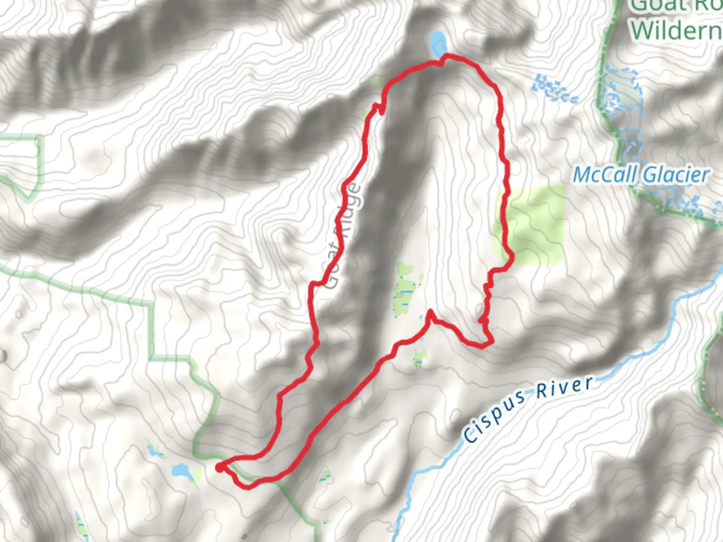
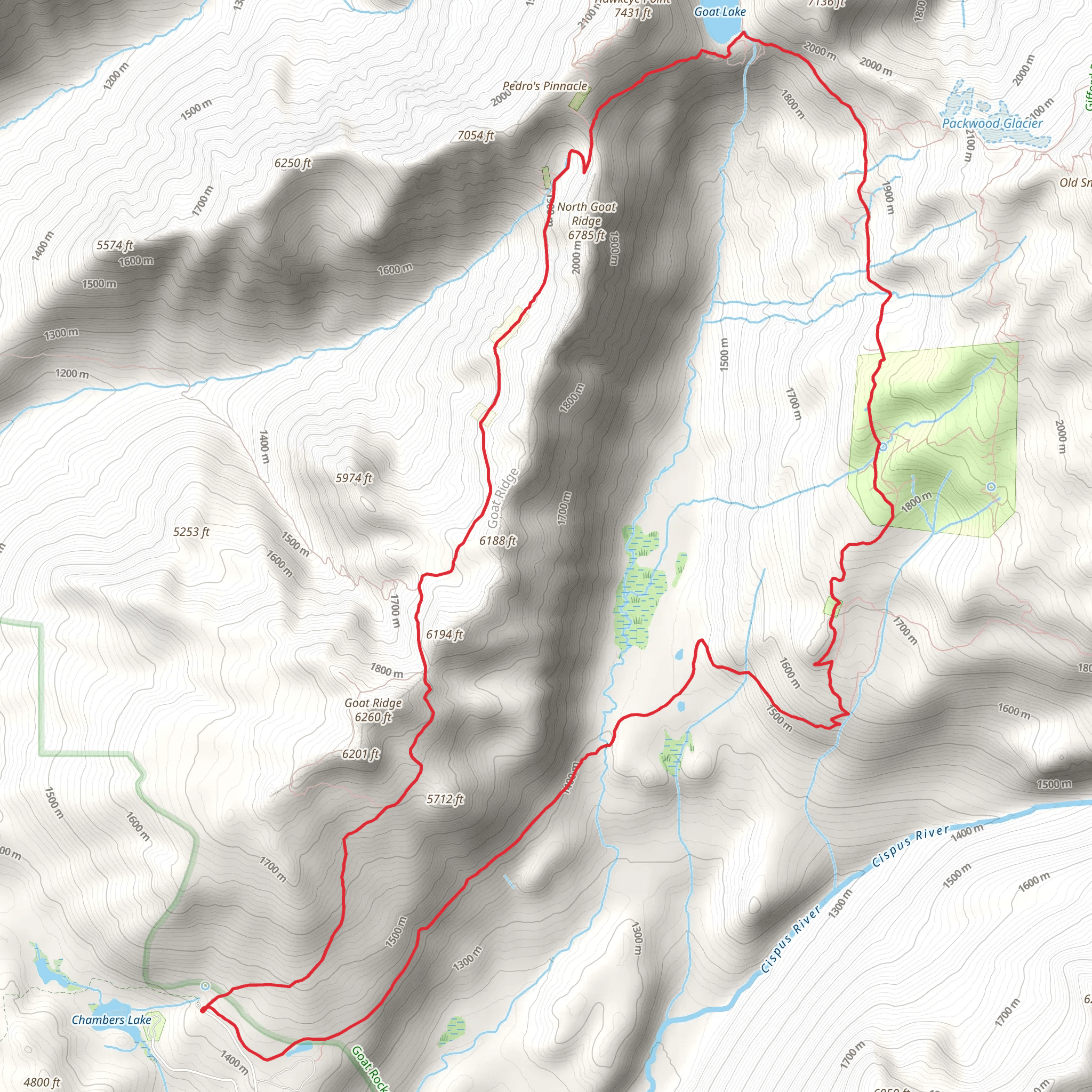
Starting your adventure near Lewis County, Washington, the Snowgrass Trail and Goat Ridge Trail loop offers a captivating journey through the rugged beauty of the Goat Rocks Wilderness. This 20 km (approximately 12.4 miles) loop trail features an elevation gain of around 1000 meters (3280 feet), making it a moderately challenging hike suitable for those with some experience.### Getting There To reach the trailhead, drive to the vicinity of Packwood, Washington. From Packwood, head east on US-12 for about 4 miles (6.4 km) before turning left onto Forest Road 21. Continue on this road for approximately 12 miles (19.3 km) until you reach the Snowgrass Trailhead. Public transportation options are limited, so driving is the most reliable way to access the trailhead.### Trail Overview The loop begins at the Snowgrass Trailhead, where you'll start your ascent through dense forest. The initial 3 km (1.9 miles) of the trail are a steady climb, gaining about 300 meters (984 feet) in elevation. As you progress, the forest opens up to reveal stunning alpine meadows, especially vibrant during the wildflower season in late July and August.### Key Landmarks and Sections
Snowgrass Flats
Around the 5 km (3.1 miles) mark, you'll reach Snowgrass Flats, a picturesque meadow offering panoramic views of the surrounding peaks, including Old Snowy Mountain and Mount Adams. This is an excellent spot for a break and some photography. The elevation here is approximately 1800 meters (5905 feet).#### Goat Ridge Continuing on, the trail ascends towards Goat Ridge. This section is about 4 km (2.5 miles) long and gains another 400 meters (1312 feet) in elevation. The ridge offers breathtaking views of the Goat Rocks and the expansive wilderness below. Keep an eye out for mountain goats, which are commonly seen in this area.#### Jordan Basin At around 12 km (7.5 miles), you'll descend into Jordan Basin. This lush, green valley is a stark contrast to the rocky ridge you just traversed. The basin is home to a variety of wildlife, including deer and marmots. The elevation here drops to about 1600 meters (5249 feet).### Historical Significance The Goat Rocks Wilderness is named after the numerous mountain goats that inhabit the area. Historically, this region was used by Native American tribes for hunting and gathering. The trails you hike today were once pathways for these indigenous peoples, adding a layer of historical depth to your journey.### Final Stretch The last 8 km (5 miles) of the loop take you through a mix of forest and meadow, gradually descending back to the trailhead. This section is less strenuous, allowing you to enjoy the serene environment and reflect on the diverse landscapes you've traversed.### Navigation and Safety Given the trail's moderate difficulty and varying terrain, it's advisable to use a reliable navigation tool like HiiKER to stay on track. Weather conditions can change rapidly in the mountains, so be prepared with appropriate gear, including layers, rain protection, and sturdy hiking boots.This loop trail offers a rewarding experience with its diverse landscapes, rich history, and abundant wildlife. Whether you're an avid hiker or someone looking to challenge themselves, the Snowgrass Trail and Goat Ridge Trail loop is a must-visit in the Pacific Northwest.
What to expect?
Activity types
Comments and Reviews
User comments, reviews and discussions about the Snowgrass Trail and Goat Ridge Trail, Washington.
4.5
average rating out of 5
14 rating(s)
