Download
Preview
Add to list
More
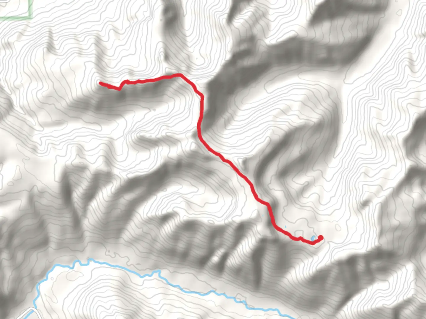
17.4 km
~4 hrs 56 min
883 m
Out and Back
“Explore Pompey Peak via Klickitat Trail for a scenic, historical, and moderately challenging 17-kilometer hike.”
Starting your journey near Lewis County, Washington, the Pompey Peak via Klickitat Trail offers a rewarding out-and-back hike that spans approximately 17 kilometers (10.5 miles) with an elevation gain of around 800 meters (2,625 feet). This medium-difficulty trail is perfect for those looking to experience the natural beauty and historical significance of the region.### Getting There To reach the trailhead, you can drive or use public transportation. If driving, head towards Lewis County, Washington, and look for parking near the Klickitat Trail access point. For those using public transport, the nearest significant landmark is the town of Morton, WA. From Morton, you can take a local bus or arrange a taxi to the trailhead.### Trail Overview The trail begins with a gentle ascent through dense forest, offering a cool and shaded start to your hike. As you progress, the trail becomes steeper, and you’ll notice the elevation gain more prominently. The first significant landmark is a small creek about 3 kilometers (1.8 miles) in, where you can take a short break and enjoy the sound of flowing water.### Flora and Fauna The trail is rich in biodiversity. Early in the hike, you’ll encounter a variety of ferns and mosses that thrive in the moist, shaded environment. As you climb higher, the vegetation changes to include towering Douglas firs and Western hemlocks. Keep an eye out for local wildlife such as black-tailed deer, and if you’re lucky, you might spot a black bear from a safe distance.### Historical Significance The Klickitat Trail has historical roots dating back to the Native American Klickitat tribe, who used this route for trade and travel. As you hike, you’ll come across several interpretive signs that provide insights into the history and culture of the area. About 7 kilometers (4.3 miles) in, you’ll find an old logging camp, a relic from the early 20th century when the area was heavily logged.### Reaching Pompey Peak The final push to Pompey Peak is the most challenging part of the hike, with a steep ascent over the last 2 kilometers (1.2 miles). The effort is well worth it, as the summit offers panoramic views of the surrounding valleys and distant peaks. On a clear day, you can see Mount Rainier to the north and Mount St. Helens to the south.### Navigation and Safety Given the trail’s moderate difficulty and varying terrain, it’s advisable to use a reliable navigation tool like HiiKER to keep track of your progress and ensure you stay on the correct path. The trail is well-marked, but having a digital map can provide extra peace of mind.### Return Journey The return journey follows the same path, allowing you to revisit the beautiful landscapes and perhaps notice details you missed on the way up. Make sure to pace yourself and take breaks as needed, especially on the steeper sections.### Practical Tips - Water and Snacks: Bring plenty of water and high-energy snacks. There are no reliable water sources beyond the initial creek. - Footwear: Sturdy hiking boots are recommended due to the rocky and uneven terrain. - Weather: Check the weather forecast before you go. The trail can be slippery and more challenging in wet conditions. - Wildlife: Be aware of your surroundings and make noise to avoid surprising wildlife.This hike offers a blend of natural beauty, historical context, and a satisfying physical challenge, making it a memorable adventure for any outdoor enthusiast.

What to expect?
Activity types
Comments and Reviews
User comments, reviews and discussions about the Pompey Peak via Klickitat Trail, Washington.
4.2
average rating out of 5
5 rating(s)