Download
Preview
Add to list
More
36.1 km
~2 day
1675 m
Out and Back
“The Pompey Peak from Cline Road trail offers a challenging, scenic hike with rich history and stunning views.”
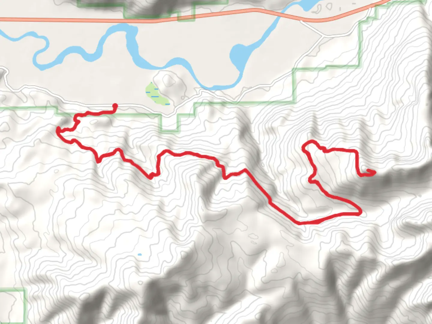
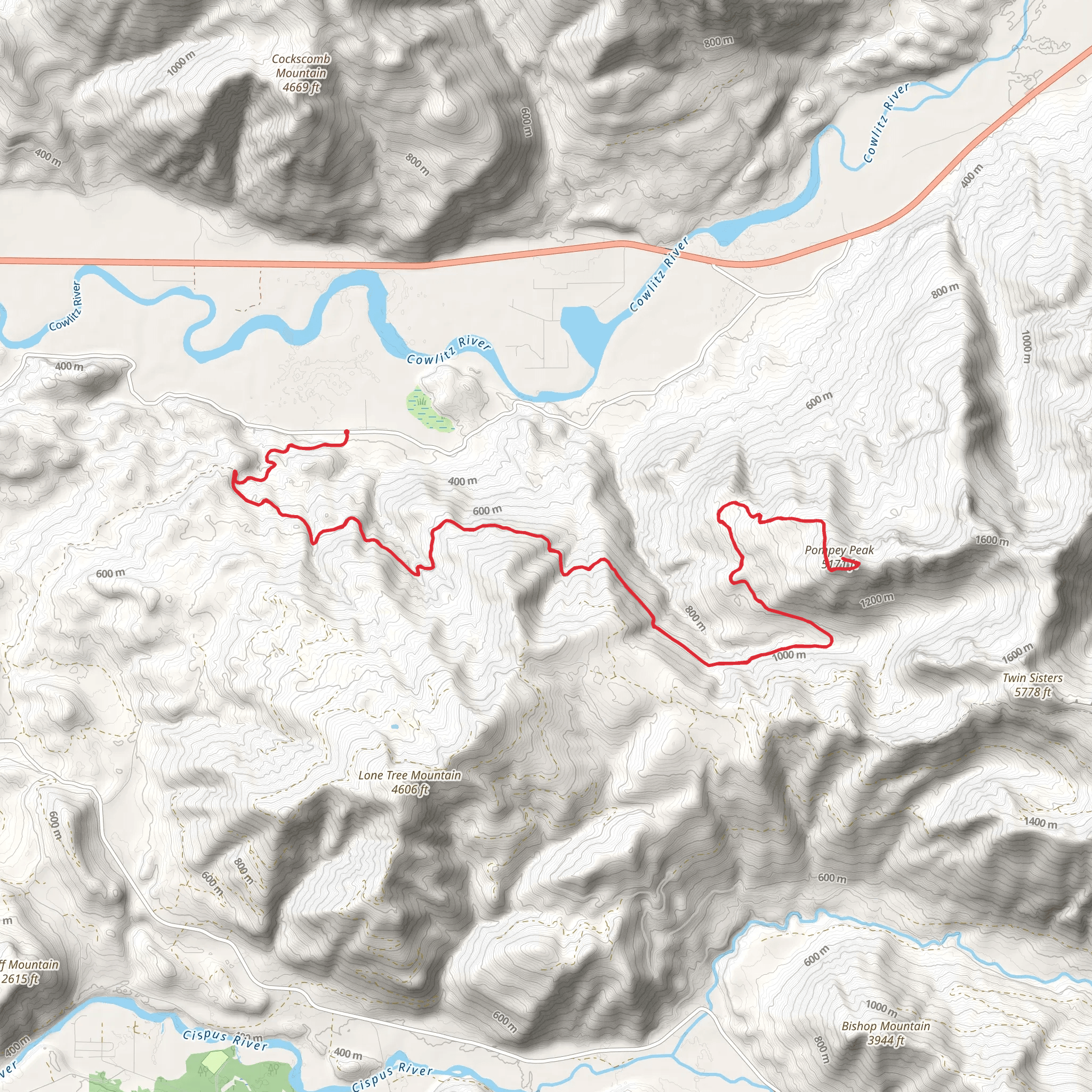
Starting near Lewis County, Washington, the Pompey Peak from Cline Road trail offers a challenging yet rewarding hike. Spanning approximately 36 kilometers (22.4 miles) with an elevation gain of around 1600 meters (5,249 feet), this out-and-back trail is rated as medium difficulty, making it suitable for moderately experienced hikers.
Getting There To reach the trailhead, you can drive or use public transportation. If driving, head towards Lewis County, Washington, and look for Cline Road. The nearest significant landmark is the town of Morton, WA. From Morton, it's a short drive to the trailhead. For those using public transport, buses run from larger cities like Seattle to Morton, where you can then take a local taxi or rideshare service to the trailhead.
Trail Overview The trail begins with a gradual ascent through dense forest, offering a mix of Douglas fir, western hemlock, and cedar trees. The first 5 kilometers (3.1 miles) are relatively gentle, with an elevation gain of about 300 meters (984 feet), making it a good warm-up for the more strenuous sections ahead.
Mid-Trail Landmarks Around the 10-kilometer (6.2-mile) mark, you'll encounter a series of switchbacks that lead to a stunning viewpoint overlooking the Cowlitz River Valley. This is a great spot to take a break and enjoy the panoramic views. The elevation gain here is more pronounced, adding another 500 meters (1,640 feet) to your climb.
Continuing on, the trail becomes steeper and rockier as you approach the 20-kilometer (12.4-mile) point. Here, you'll find a small alpine meadow, often dotted with wildflowers in the spring and summer months. This area is also a good spot for wildlife sightings, including deer, elk, and various bird species.
Historical Significance The region around Pompey Peak has a rich history. It was originally inhabited by the Cowlitz and Yakama tribes, who used the area for hunting and gathering. In the late 19th and early 20th centuries, the trail was part of a network used by loggers and miners. Remnants of old logging equipment and mining claims can still be seen along the trail, adding a historical dimension to your hike.
Final Ascent The final push to Pompey Peak is the most challenging part of the hike. The last 5 kilometers (3.1 miles) involve a steep ascent with an elevation gain of about 800 meters (2,625 feet). The trail here is narrow and rocky, requiring careful footing. However, the effort is well worth it. Upon reaching the summit, you'll be rewarded with breathtaking 360-degree views of the surrounding peaks, valleys, and, on clear days, even Mount Rainier in the distance.
Navigation and Safety Given the trail's length and elevation gain, it's crucial to be well-prepared. Make sure to carry a detailed map and use the HiiKER app for real-time navigation. Weather conditions can change rapidly, so pack appropriate clothing and gear. Water sources are scarce along the trail, so bring enough water or a filtration system.
Wildlife and Flora The trail offers a diverse range of flora and fauna. In addition to the dense forests and alpine meadows, you may encounter black bears, mountain goats, and a variety of bird species. Always practice Leave No Trace principles to preserve the natural beauty of the area.
This hike is a fantastic way to experience the natural beauty and historical richness of Lewis County, Washington. Whether you're a seasoned hiker or looking to challenge yourself, the Pompey Peak from Cline Road trail offers an unforgettable adventure.
What to expect?
Activity types
Comments and Reviews
User comments, reviews and discussions about the Pompey Peak from Cline Road, Washington.
4.4
average rating out of 5
5 rating(s)
