Download
Preview
Add to list
More
9.0 km
~2 hrs 56 min
687 m
Out and Back
“Experience the diverse flora, panoramic vistas, and rich history on the moderately challenging Nannie Peak trail.”
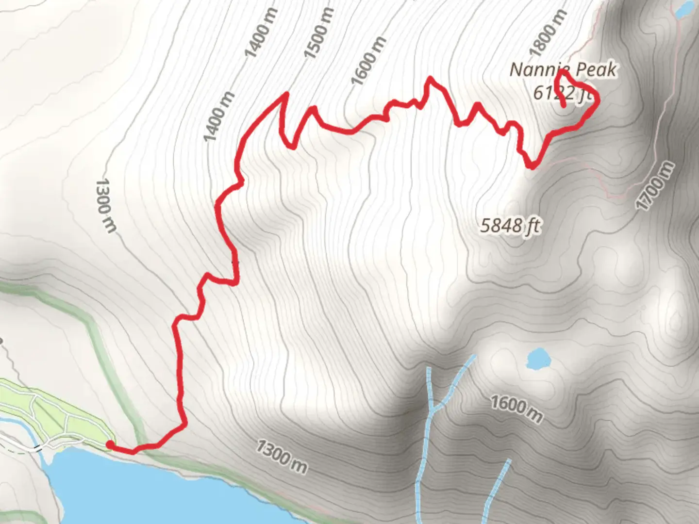
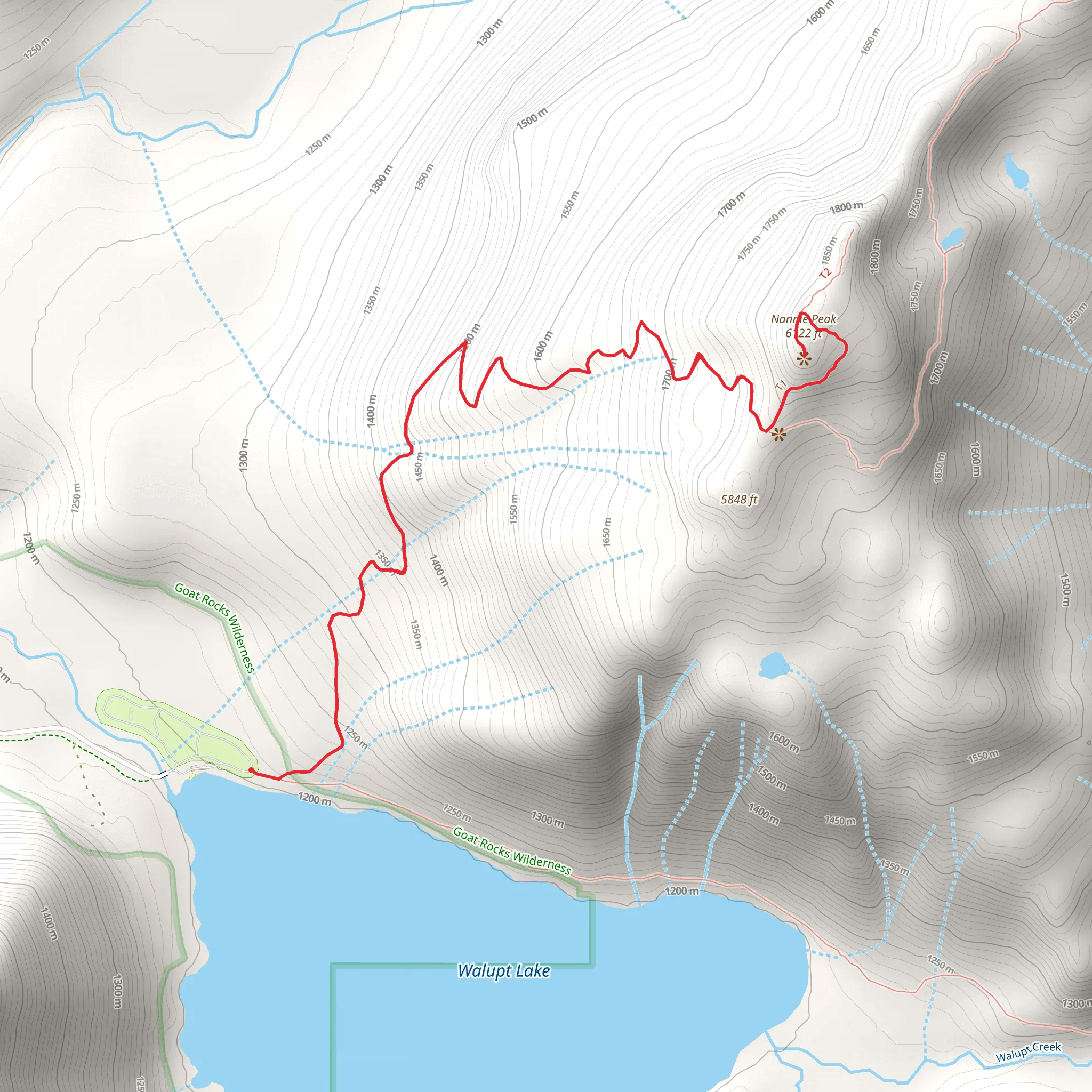
Starting your hike near Lewis County, Washington, the trailhead for this adventure is conveniently located close to Walupt Lake. If you're driving, you can park at the Walupt Lake Campground, which is accessible via Forest Road 21. For those relying on public transport, the nearest significant town is Packwood, WA, from where you might need to arrange a taxi or rideshare to reach the trailhead.Trail OverviewThe Nannie Peak trail is an out-and-back route spanning approximately 9 km (5.6 miles) with an elevation gain of around 600 meters (1,968 feet). This trail is rated as medium difficulty, making it suitable for moderately experienced hikers. The path is well-marked, but it's always wise to have a reliable navigation tool like HiiKER to ensure you stay on track.Initial AscentThe first section of the trail takes you through dense forest, characterized by towering Douglas firs and western hemlocks. The initial 2 km (1.2 miles) involve a steady climb, gaining about 200 meters (656 feet) in elevation. Keep an eye out for the diverse flora, including ferns and wildflowers that bloom in the spring and summer months.Mid-Trail LandmarksAs you continue, the trail opens up to a series of meadows around the 4 km (2.5 miles) mark. These meadows offer stunning views of the surrounding peaks and are a great spot for a short break. The elevation gain here is more gradual, allowing you to catch your breath and enjoy the scenery. Wildlife is abundant in this area; you might spot deer, elk, and a variety of bird species.Final Ascent to Nannie PeakThe last 1.5 km (0.9 miles) to Nannie Peak is the most challenging part of the hike, with a steeper ascent gaining approximately 300 meters (984 feet). The trail becomes rockier and more rugged, so sturdy hiking boots are recommended. As you approach the summit, the trees thin out, providing panoramic views of the Cascade Range. On a clear day, you can see Mount Adams and Mount Rainier in the distance.Historical SignificanceThe region around Nannie Peak has a rich history. It was traditionally inhabited by the Cowlitz and Yakama tribes, who used the area for hunting and gathering. The name "Nannie Peak" is believed to be derived from a local Native American word, though its exact origins are unclear. The surrounding wilderness was also explored by early European settlers and loggers in the 19th century.Descent and ReturnAfter soaking in the views from Nannie Peak, retrace your steps back to the trailhead. The descent is easier on the legs but still requires caution, especially on the steeper sections. The total round trip should take around 4-6 hours, depending on your pace and the number of breaks you take.Preparation TipsEnsure you carry enough water, as there are no reliable water sources along the trail. Weather can change rapidly in the mountains, so pack layers and be prepared for sudden shifts. A map and compass, along with the HiiKER app, will help you navigate the trail safely. Enjoy your hike and the natural beauty that Nannie Peak has to offer!
What to expect?
Activity types
Comments and Reviews
User comments, reviews and discussions about the Nannie Peak from Walupt Lake, Washington.
4.44
average rating out of 5
9 rating(s)
