Download
Preview
Add to list
More
2.4 km
~45 min
166 m
Out and Back
“The Kiser Trail offers a moderately challenging hike with scenic views and historical intrigue in Lewis County.”
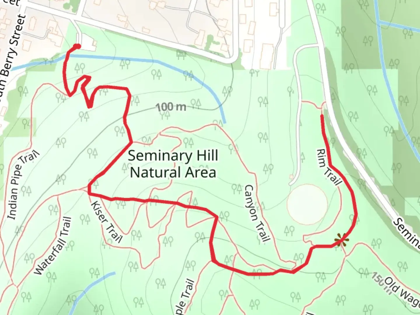
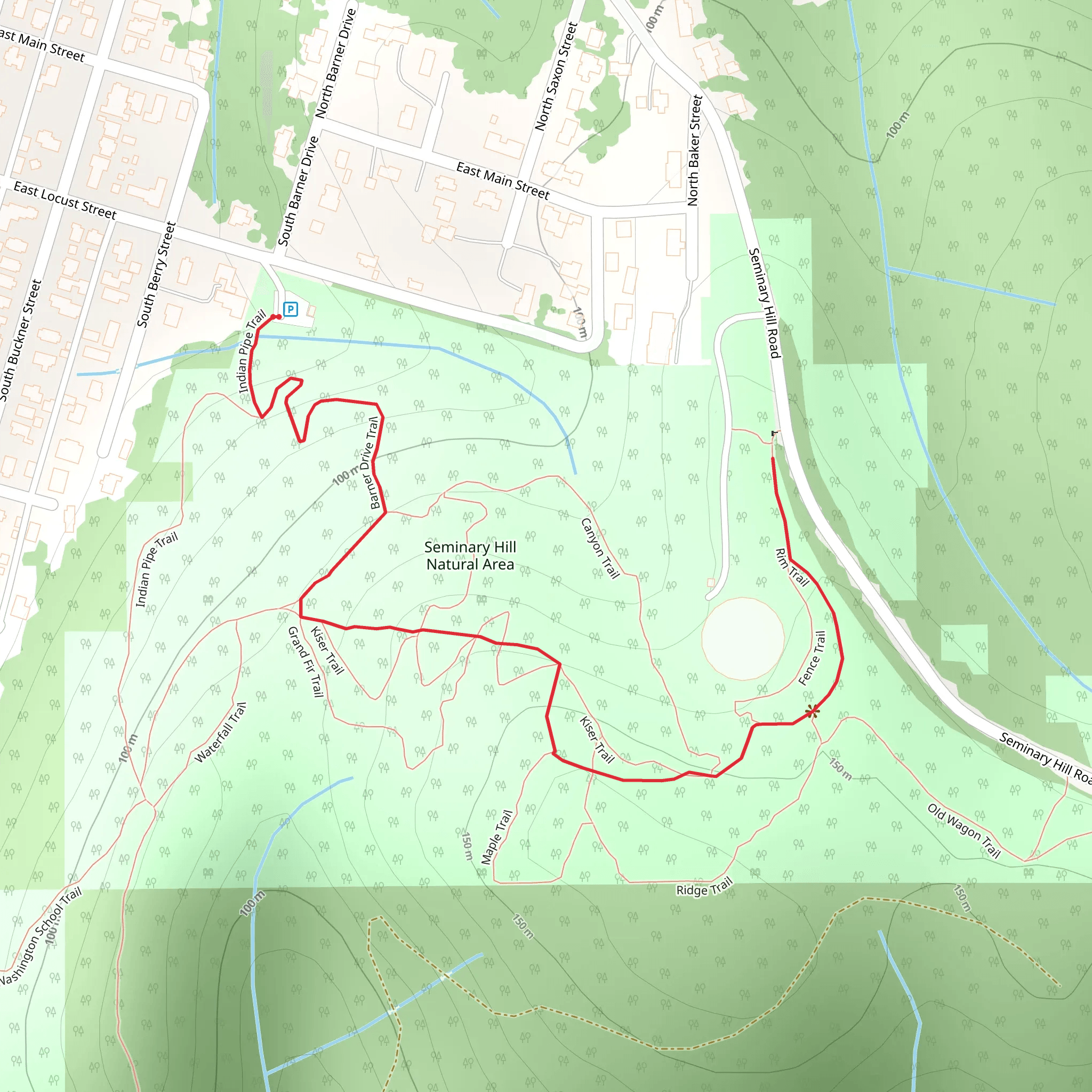
Starting near Lewis County, Washington, the Kiser Trail is an inviting out-and-back hike that spans approximately 2 kilometers (1.24 miles) with an elevation gain of around 100 meters (328 feet). This trail is rated as medium difficulty, making it suitable for moderately experienced hikers.
Getting There To reach the trailhead, you can drive or use public transportation. If driving, head towards Lewis County and look for signs directing you to the trailhead near the vicinity of the nearest known address, which is close to the Lewis County Historical Museum. For those using public transport, the nearest bus stop is at the Lewis County Transit Center. From there, you may need to arrange a taxi or rideshare to cover the remaining distance to the trailhead.
Trail Overview The Kiser Trail begins with a gentle ascent through a mixed forest of Douglas firs and western hemlocks. The initial 0.5 kilometers (0.31 miles) are relatively easy, allowing you to acclimate to the terrain. As you progress, the trail becomes steeper, gaining most of its elevation in the next 0.75 kilometers (0.47 miles).
Landmarks and Nature At around the 1-kilometer (0.62-mile) mark, you'll encounter a small, picturesque clearing that offers a brief respite and a chance to enjoy the surrounding flora. This area is particularly beautiful in the spring and early summer when wildflowers such as trilliums and lupines are in bloom.
Continuing onward, the trail narrows and becomes more rugged. Keep an eye out for local wildlife; deer and various bird species are commonly sighted. The final stretch of the trail leads to a modest viewpoint that offers a panoramic view of the surrounding forest and distant hills.
Historical Significance The region around the Kiser Trail has a rich history. Lewis County itself was established in the mid-19th century and has been a hub for logging and railroads. The trail passes near old logging routes, and you might notice remnants of early 20th-century logging equipment along the way. These artifacts serve as a reminder of the area's industrial past and its transformation into a haven for outdoor enthusiasts.
Navigation and Safety Given the moderate difficulty of the trail, it's advisable to use a reliable navigation tool like HiiKER to keep track of your progress and ensure you stay on the correct path. The trail is well-marked, but having a digital map can be reassuring, especially if you are unfamiliar with the area.
Final Stretch The return journey follows the same path, allowing you to revisit the scenic spots and perhaps notice details you missed on the way up. The descent is generally easier, but take care on the steeper sections to avoid slipping.
Overall, the Kiser Trail offers a rewarding hike with a mix of natural beauty and historical intrigue, making it a worthwhile adventure for those exploring the Lewis County area.
What to expect?
Activity types
Comments and Reviews
User comments, reviews and discussions about the Kiser Trail, Washington.
4.59
average rating out of 5
17 rating(s)
