Download
Preview
Add to list
More
31.2 km
~1 day 3 hrs
1089 m
Point-to-Point
“Explore lush forests, historic landmarks, and stunning vistas on the moderately challenging Middle Fork and Sand Creek Trail.”
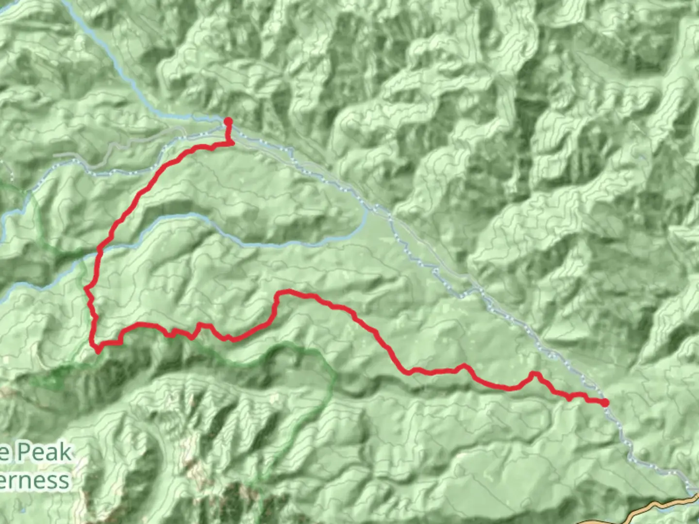
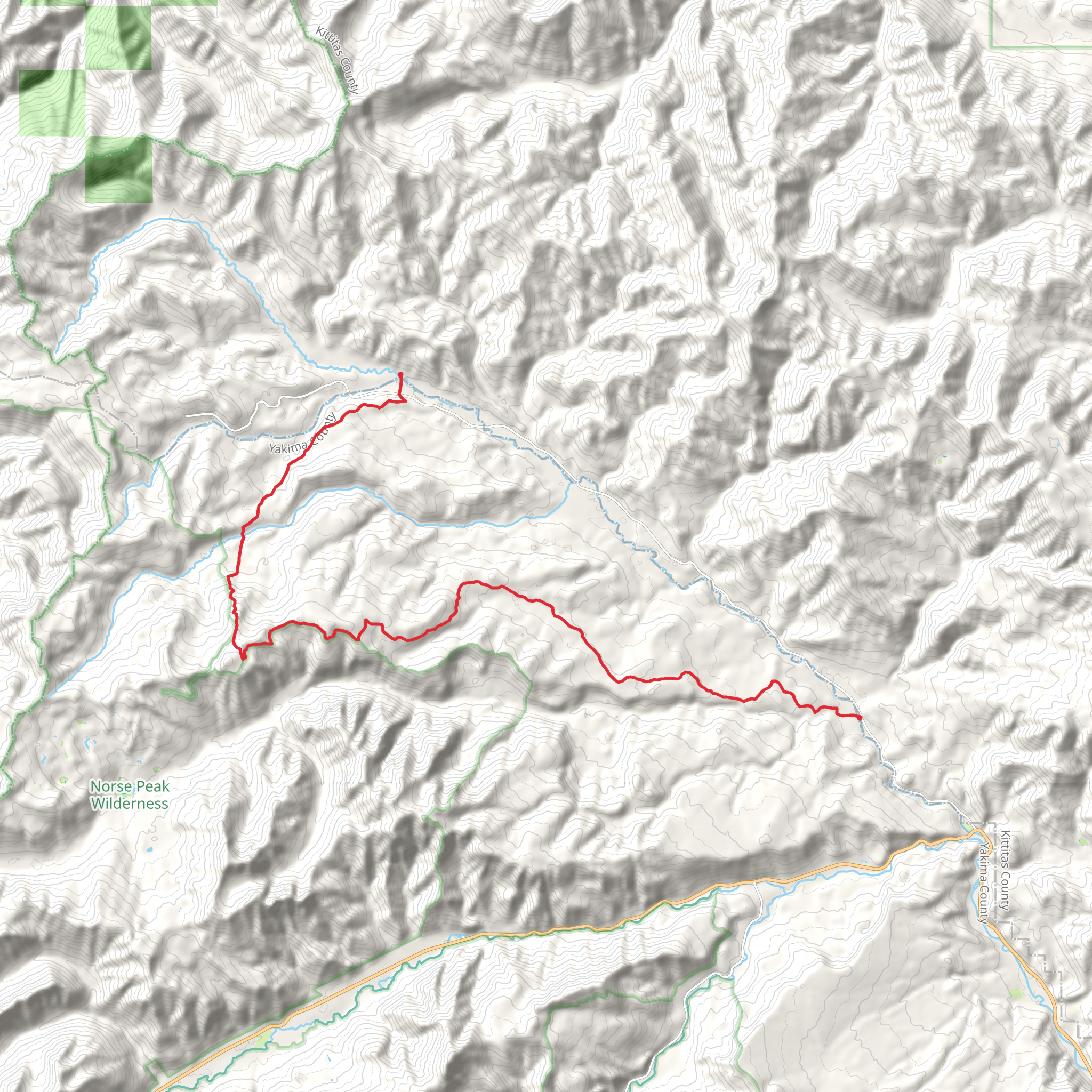
Starting near Kittitas County, Washington, the Middle Fork and Sand Creek Trail spans approximately 31 kilometers (19 miles) with an elevation gain of around 1000 meters (3280 feet). This point-to-point trail is rated as medium difficulty, making it suitable for moderately experienced hikers.### Getting There To reach the trailhead, you can drive or use public transport. If driving, head towards Kittitas County and look for the nearest significant landmark, which is the town of Cle Elum. From Cle Elum, follow local roads to the trailhead. For those using public transport, buses run from Seattle to Cle Elum, where you can arrange for a local taxi or rideshare to the trailhead.### Trail Overview The trail begins with a gentle ascent through lush forests, offering a serene start to your hike. As you progress, the trail becomes steeper, leading you through a series of switchbacks. The first significant landmark you'll encounter is the Middle Fork Teanaway River, approximately 5 kilometers (3 miles) in. This is a great spot to take a break and enjoy the sound of rushing water.### Flora and Fauna The trail is rich in biodiversity. You'll pass through dense forests of Douglas fir and western hemlock. Keep an eye out for wildlife such as deer, black bears, and various bird species. The area is also known for its vibrant wildflowers in the spring and summer months.### Historical Significance The region has a rich history, with the Teanaway area being historically significant for the Native American tribes who once inhabited it. The trail itself was used by early settlers and loggers, adding a layer of historical intrigue to your hike.### Mid-Trail Highlights Around the 15-kilometer (9-mile) mark, you'll reach a high point with panoramic views of the surrounding mountains. This section offers a great opportunity for photography and a well-deserved rest. The elevation gain here is noticeable, so be prepared for a challenging but rewarding climb.### Navigation and Safety Given the trail's length and elevation gain, it's crucial to be well-prepared. Use HiiKER for accurate navigation and trail details. Ensure you have a map, compass, and sufficient water and food supplies. Weather can change rapidly, so pack layers and be prepared for rain or sudden temperature drops.### Final Stretch The last section of the trail descends gradually, leading you through more forested areas and eventually to Sand Creek. This part of the trail is less strenuous, allowing you to enjoy the natural beauty without the intense effort of the earlier climbs.### Ending Point The trail concludes near the Sand Creek area, where you can arrange for a pickup or continue exploring the surrounding trails. The nearest significant landmark for pickup is the town of Roslyn, known for its historic coal mining past and charming downtown area.This trail offers a mix of natural beauty, historical significance, and moderate physical challenge, making it a rewarding experience for those who undertake it.
What to expect?
Activity types
Comments and Reviews
User comments, reviews and discussions about the Middle Fork and Sand Creek Trail, Washington.
4.75
average rating out of 5
4 rating(s)
