Download
Preview
Add to list
More
4.0 km
~59 min
119 m
Loop
“Experience a moderate 4 km loop with lush forests, scenic overlooks, and rich historical significance.”
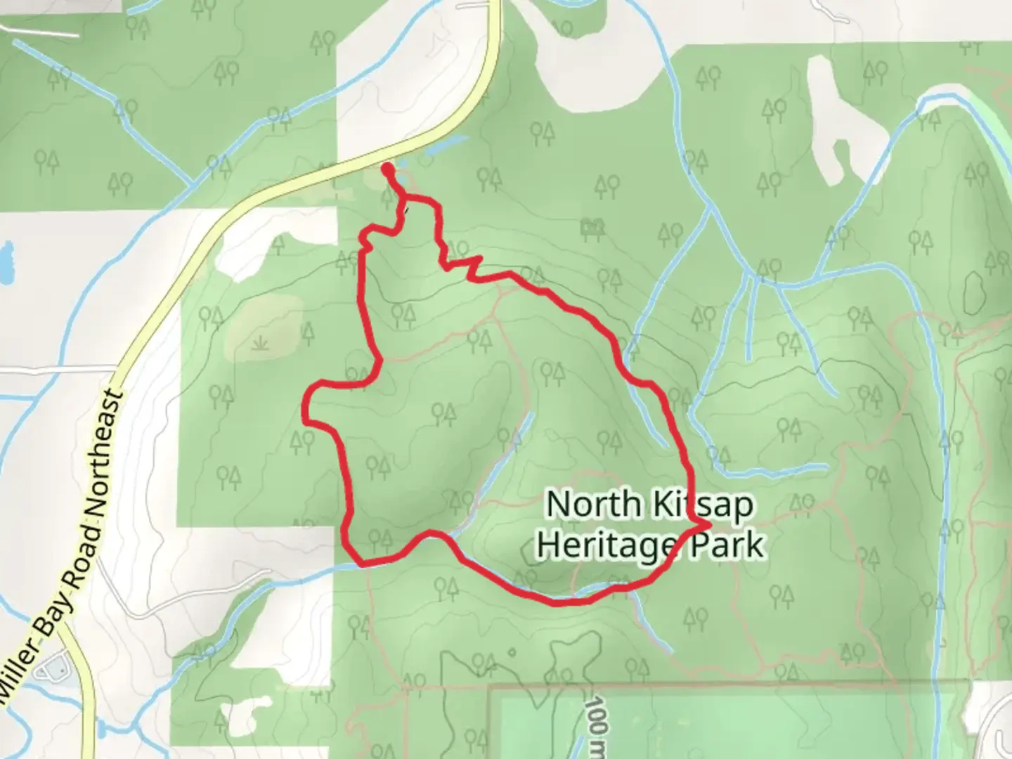
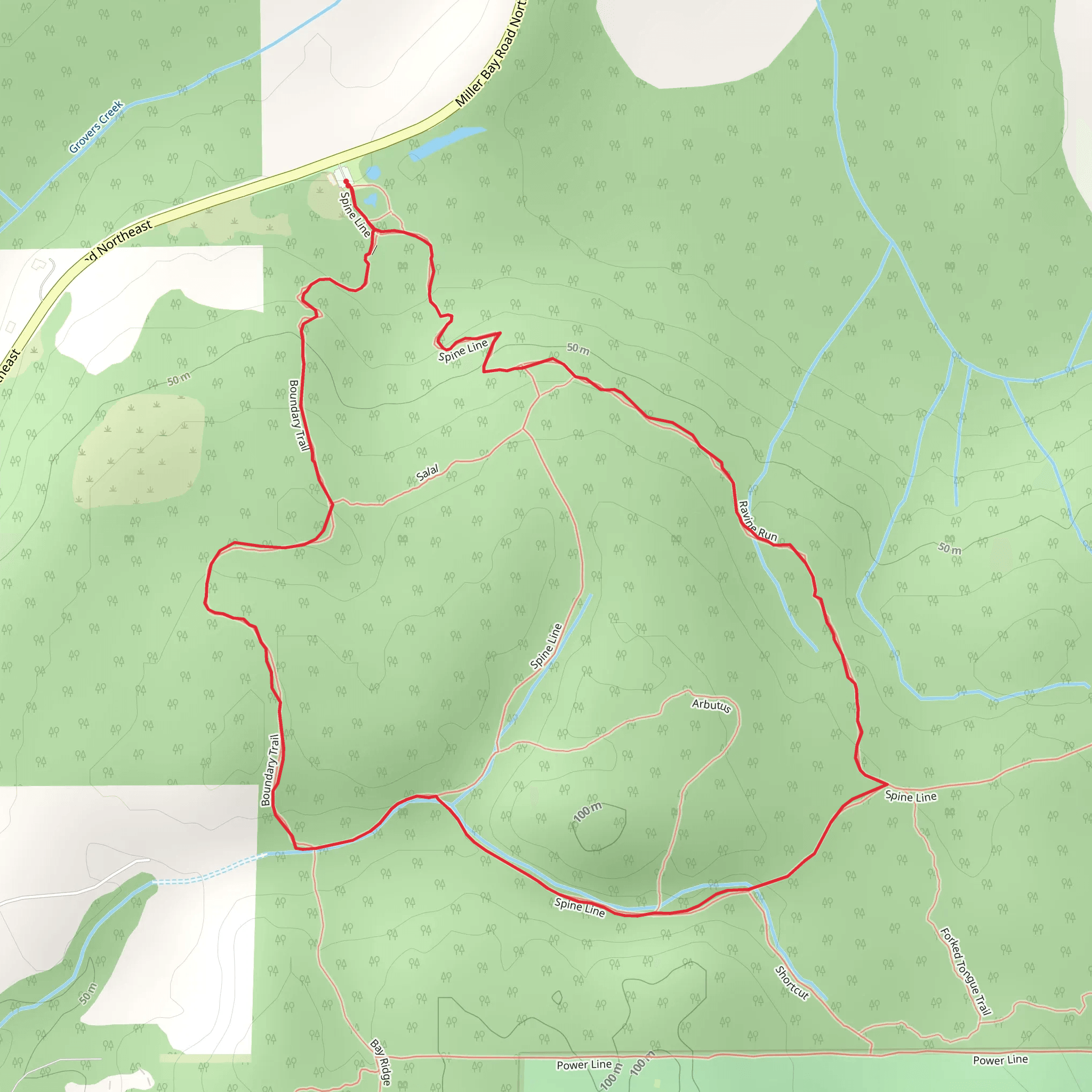
Starting near Kitsap County, Washington, the Spine Line, Ravine Run, and Boundary Loop Trail offers a delightful 4 km (2.5 miles) loop with an elevation gain of approximately 100 meters (328 feet). This trail is rated as medium difficulty, making it suitable for moderately experienced hikers.### Getting There To reach the trailhead, you can drive or use public transport. If driving, head towards Kitsap County and look for the nearest significant landmark, the Kitsap Memorial State Park. From there, follow local signage to the trailhead. For those using public transport, Kitsap Transit provides bus services to the area. The closest bus stop is at the intersection of NE State Hwy 308 & NE Riddell Rd, from where you can either walk or take a short taxi ride to the trailhead.### Trail Overview The trail begins with a gentle ascent, winding through a dense forest of Douglas fir and western red cedar. The initial 1 km (0.6 miles) offers a serene environment with the sounds of chirping birds and rustling leaves. Keep an eye out for deer and occasionally, black bears, which are native to this region.### Significant Landmarks At around the 1.5 km (0.9 miles) mark, you'll encounter a small, picturesque ravine. This section, known as Ravine Run, features a charming wooden bridge that crosses a babbling brook. The bridge is a great spot for a quick rest and some photos.Continuing on, the trail ascends slightly, reaching its highest point at approximately 2 km (1.2 miles). Here, you'll find a scenic overlook that offers panoramic views of the surrounding forest and, on clear days, glimpses of the Olympic Mountains in the distance. This is a perfect spot for a snack break and some nature photography.### Historical Significance The region around Kitsap County has a rich history, with the Suquamish Tribe being the original inhabitants. The trail itself passes through areas that were once used by the tribe for hunting and gathering. Informational plaques along the way provide insights into the historical and cultural significance of the land.### Navigation and Safety As you descend from the overlook, the trail becomes a bit steeper and rockier. It's advisable to use a reliable navigation tool like HiiKER to stay on track, especially in this section where the path can be less defined. The final stretch of the trail, known as Boundary Loop, is relatively flat and takes you through a mixed forest of alder and maple trees, eventually leading back to the trailhead.### Flora and Fauna Throughout the hike, you'll encounter a variety of plant species, including sword ferns, salal, and Oregon grape. In spring and early summer, the trail is adorned with wildflowers like trillium and bleeding heart. Birdwatchers will appreciate the diversity of avian life, including woodpeckers, owls, and various songbirds.### Final Stretch The last kilometer (0.6 miles) of the trail is a gentle descent, bringing you back to the starting point. This section is particularly beautiful in the fall when the foliage turns vibrant shades of red and gold.This trail offers a well-rounded hiking experience with its mix of natural beauty, historical significance, and moderate challenge. Whether you're a local or visiting Kitsap County, it's a rewarding hike that showcases the best of Washington's natural landscapes.
What to expect?
Activity types
Comments and Reviews
User comments, reviews and discussions about the Spine Line, Ravine Run and Boundary Loop Trail, Washington.
4.5
average rating out of 5
22 rating(s)
