Download
Preview
Add to list
More
6.3 km
~1 hrs 29 min
135 m
Out and Back
“Explore the scenic 6 km White River and Scatter Creek trail, perfect for moderately experienced hikers.”
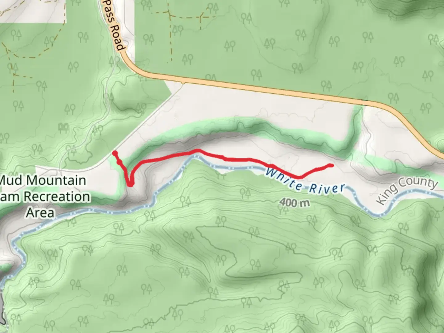
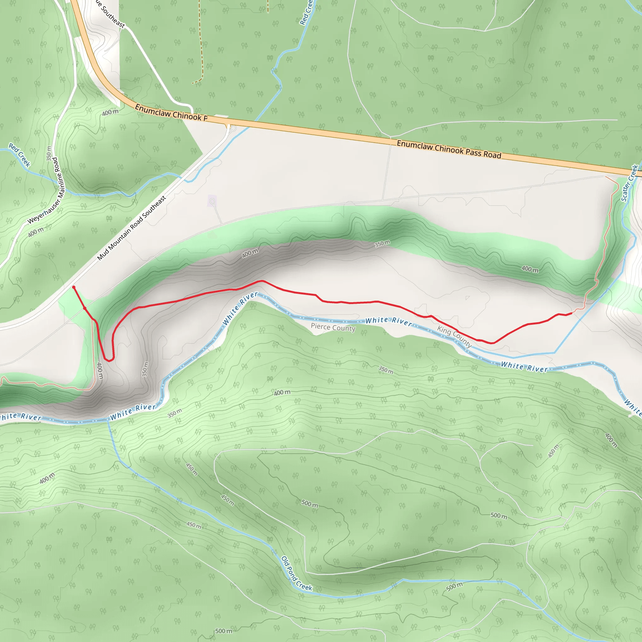
Starting near King County, Washington, the White River and Scatter Creek trail offers a delightful 6 km (approximately 3.7 miles) out-and-back hike with an elevation gain of around 100 meters (328 feet). This trail is rated as medium difficulty, making it suitable for moderately experienced hikers.
Getting There To reach the trailhead, you can drive or use public transportation. If driving, head towards Enumclaw, Washington, and follow signs for the White River entrance of Mount Rainier National Park. The nearest significant landmark is the White River Campground, which serves as a convenient starting point. For those using public transport, you can take a bus to Enumclaw and then arrange for a taxi or rideshare to the campground.
Trail Overview The trail begins at the White River Campground, situated at an elevation of approximately 1,200 meters (3,937 feet). The initial section of the trail is relatively flat, meandering through a dense forest of Douglas fir and western hemlock. This part of the trail is well-shaded, providing a cool and refreshing start to your hike.
Key Landmarks and Features About 1 km (0.6 miles) into the hike, you will encounter the first significant landmark: a wooden bridge crossing the White River. The river's glacial waters are a striking blue, and the sound of rushing water adds to the serene atmosphere. This is a great spot for a quick rest and some photos.
Continuing along the trail, you will gradually ascend, gaining about 50 meters (164 feet) in elevation over the next 2 km (1.2 miles). The forest begins to thin out, offering glimpses of the surrounding peaks. Keep an eye out for wildlife; deer and black bears are occasionally spotted in this area, so it's wise to stay alert and make noise to avoid surprising any animals.
Scatter Creek At around the 3 km (1.8 miles) mark, you will reach Scatter Creek. This is the turnaround point for the out-and-back trail. Scatter Creek is a picturesque spot, with clear, cold water flowing over smooth rocks. It's an ideal place to take a longer break, enjoy a snack, and soak in the natural beauty. The elevation here is approximately 1,300 meters (4,265 feet).
Historical Significance The region around the White River and Scatter Creek has a rich history. Native American tribes, including the Puyallup and Muckleshoot, have long inhabited the area, relying on its abundant natural resources. The White River itself was named by early European settlers for its milky appearance, caused by glacial silt.
Navigation and Safety For navigation, it's highly recommended to use the HiiKER app, which provides detailed maps and real-time updates. The trail is well-marked, but having a reliable navigation tool ensures you stay on track. Always carry sufficient water, snacks, and a first aid kit. Weather can change rapidly in this region, so bring layers and be prepared for rain.
The return journey retraces your steps back to the White River Campground, offering a different perspective on the landscape as you descend. The total hike should take around 2-3 hours, depending on your pace and how long you spend at Scatter Creek.
Enjoy your hike and take the time to appreciate the natural beauty and historical significance of this remarkable trail.
What to expect?
Activity types
Comments and Reviews
User comments, reviews and discussions about the White River and Scatter Creek, Washington.
4.6
average rating out of 5
10 rating(s)
