Download
Preview
Add to list
More
16.3 km
~3 hrs 31 min
161 m
Out and Back
“Explore scenic views and urban landscapes on the moderately challenging SR 520 Trail in King County.”
Starting near King County, Washington, the SR 520 Trail stretches approximately 16 kilometers (10 miles) with an elevation gain of around 100 meters (328 feet). This out-and-back trail offers a medium difficulty rating, making it suitable for moderately experienced hikers.
Getting There To reach the trailhead, you can drive or use public transportation. If driving, head towards the Evergreen Point Floating Bridge, where parking is available nearby. For those using public transport, King County Metro Transit buses serve the area, with stops close to the trailhead. The nearest significant landmark is the Evergreen Point Road, which provides easy access to the trail.
Trail Overview The SR 520 Trail is a well-maintained path that runs parallel to the SR 520 highway, offering scenic views of Lake Washington and the surrounding urban landscape. The trail is paved, making it accessible for both hikers and cyclists.
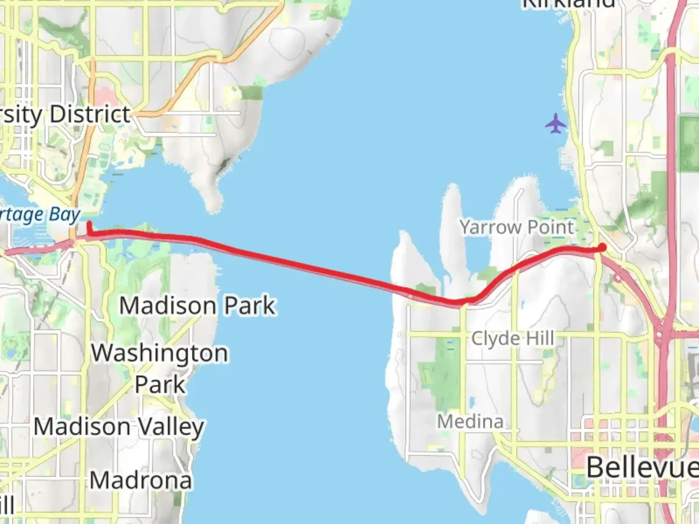
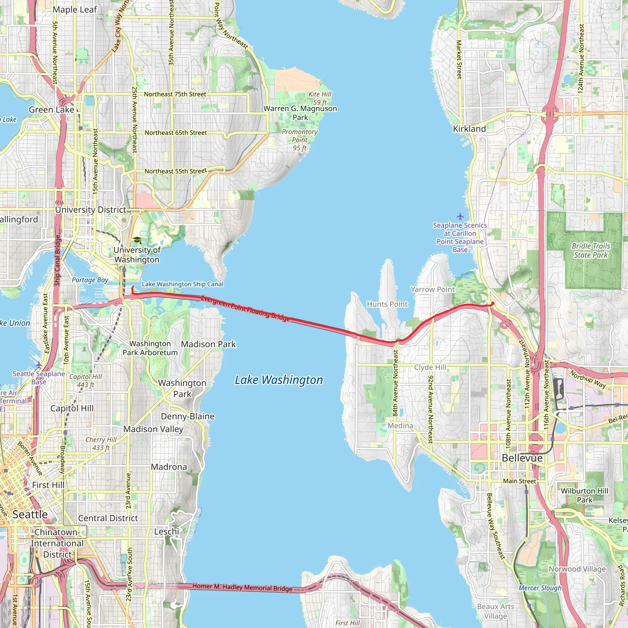
Key Landmarks and Features - **Evergreen Point Floating Bridge**: At the beginning of the trail, you'll cross the Evergreen Point Floating Bridge, one of the longest floating bridges in the world. This section offers panoramic views of Lake Washington and the Seattle skyline. - **Medina Park**: Approximately 3 kilometers (1.9 miles) into the hike, you'll pass by Medina Park. This is a great spot to take a break, enjoy a picnic, or simply appreciate the lush greenery and local wildlife. - **Yarrow Point**: Around the 5-kilometer (3.1 miles) mark, you'll reach Yarrow Point. This area is known for its affluent neighborhoods and beautiful waterfront properties. The trail here offers a serene environment with fewer crowds. - **Clyde Hill**: As you approach the 8-kilometer (5 miles) turnaround point, you'll encounter Clyde Hill. This section provides a slight elevation gain, offering a bit of a challenge and rewarding you with elevated views of the surrounding area.
Nature and Wildlife The SR 520 Trail is home to a variety of flora and fauna. Keep an eye out for native plants such as Douglas fir, Western red cedar, and various wildflowers. Birdwatchers will enjoy spotting species like bald eagles, herons, and various songbirds. Small mammals such as squirrels and rabbits are also commonly seen along the trail.
Historical Significance The SR 520 corridor has a rich history, dating back to its original construction in the 1960s. The Evergreen Point Floating Bridge, in particular, has undergone several renovations and replacements, reflecting the region's growth and development. The trail itself is a testament to the area's commitment to providing recreational spaces amidst urban expansion.
Navigation For navigation, it's recommended to use the HiiKER app, which provides detailed maps and real-time updates. This will help you stay on track and make the most of your hiking experience.
Preparation Tips - **Footwear**: Wear comfortable hiking shoes suitable for paved surfaces. - **Water and Snacks**: Bring enough water and snacks, especially if you plan to take breaks at Medina Park or Yarrow Point. - **Weather**: Check the weather forecast before heading out, as conditions can change rapidly. - **Safety**: Be mindful of cyclists sharing the trail and adhere to posted signs and guidelines.
This trail offers a blend of urban and natural scenery, making it a unique hiking experience in the King County area.
What to expect?
Activity types
Comments and Reviews
User comments, reviews and discussions about the SR 520 Trail, Washington.
4.4
average rating out of 5
15 rating(s)
