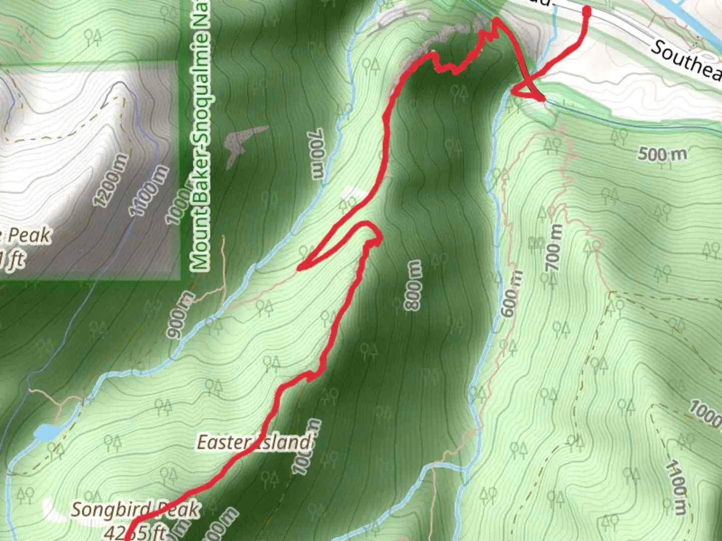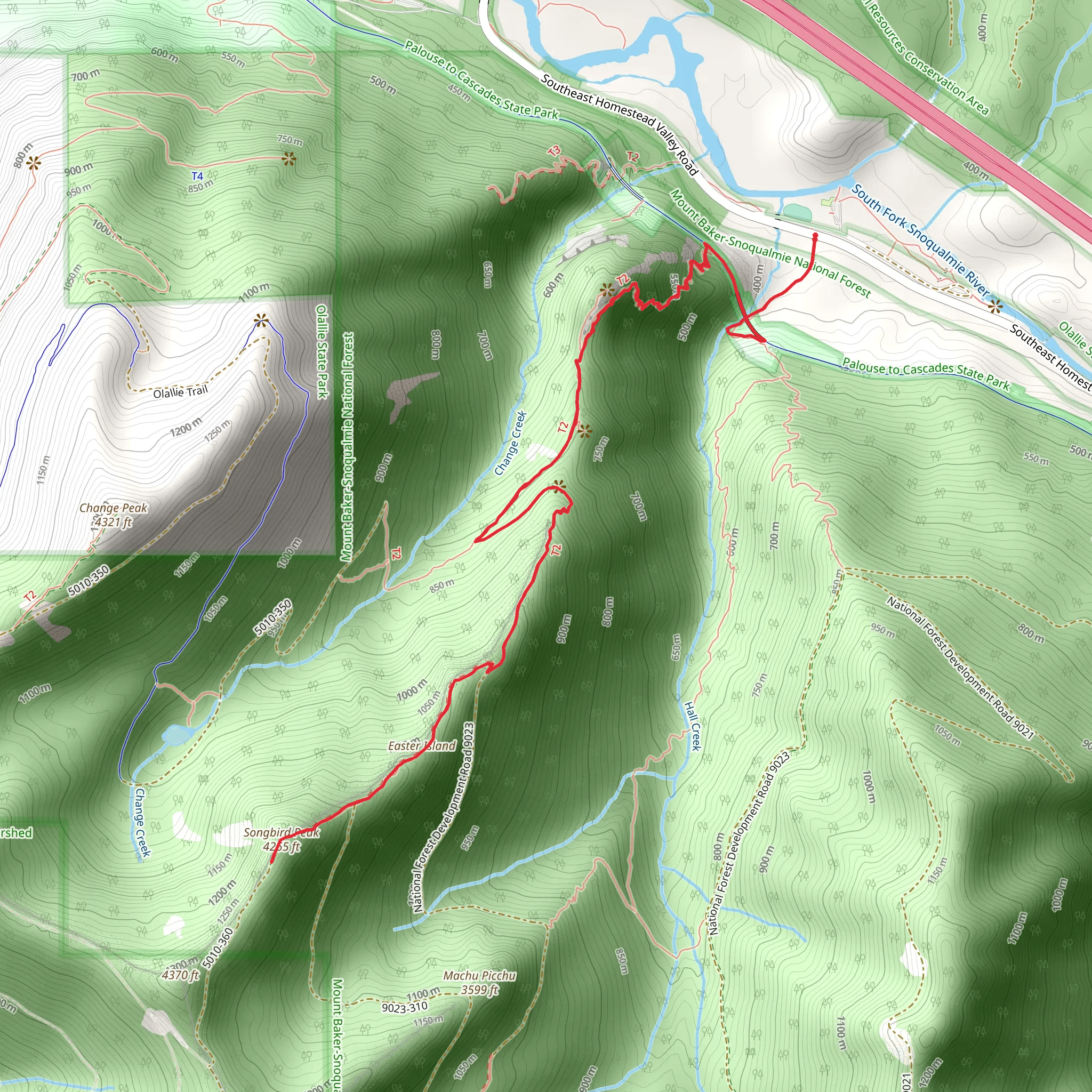
Songbird Peak and Easter Island via Hall Creek Trail
Download
Preview
Add to list
More
9.2 km
~3 hrs 51 min
1206 m
Out and Back
“Embark on the Hall Creek Trail for a 9 km adventure through forests, alpine meadows, and historical landmarks.”
Starting your adventure near King County, Washington, the Hall Creek Trailhead is accessible by car, with parking available at the trailhead. If you prefer public transport, you can take a bus to the nearest town and then a short taxi or rideshare to the trailhead.The trail spans approximately 9 km (5.6 miles) with an elevation gain of around 1200 meters (3937 feet), making it a moderately challenging hike. The trail is an out-and-back type, meaning you'll return the same way you came.### Initial Ascent and Forested Path The first section of the trail takes you through a dense forest, rich with Douglas firs and western hemlocks. The initial ascent is gradual, allowing you to acclimate to the elevation gain. About 2 km (1.2 miles) in, you'll start to notice the incline becoming steeper. Keep an eye out for the diverse bird species that inhabit this area, including the songbirds that give Songbird Peak its name.### Midway Point and Hall Creek At approximately 4 km (2.5 miles), you'll reach Hall Creek, a serene spot perfect for a short break. The creek is a great place to refill your water bottles if you have a filtration system. The sound of the flowing water and the surrounding greenery make this a peaceful rest stop.### Steeper Climb and Alpine Meadows As you continue, the trail becomes steeper and more rugged. The next 2 km (1.2 miles) will test your endurance, but the effort is well worth it. You'll pass through alpine meadows filled with wildflowers during the spring and summer months. These meadows offer stunning views and are a great spot for photography.### Songbird Peak Reaching Songbird Peak at around 6 km (3.7 miles), you'll be rewarded with panoramic views of the surrounding mountains and valleys. This is a perfect spot to take a longer break, enjoy a snack, and soak in the scenery. The peak is named for the abundance of songbirds that can be heard throughout the area, adding a melodic backdrop to your experience.### Easter Island Continuing for another 1.5 km (0.9 miles), you'll arrive at Easter Island, a unique rock formation that resembles the famous statues of Easter Island. This geological feature is a fascinating sight and offers another excellent photo opportunity. The area around Easter Island is also known for its historical significance, as it was once a site used by indigenous tribes for various ceremonies.### Return Journey The return journey follows the same path, allowing you to revisit the beautiful landscapes and perhaps notice details you missed on the way up. The descent is easier on the legs but still requires caution, especially on the steeper sections.### Navigation and Safety For navigation, it's highly recommended to use HiiKER, which provides detailed maps and real-time tracking to ensure you stay on the correct path. Always check the weather forecast before heading out, as conditions can change rapidly in mountainous areas. Carry sufficient water, snacks, and a first aid kit, and let someone know your hiking plans.This trail offers a mix of natural beauty, challenging terrain, and historical intrigue, making it a rewarding experience for those prepared for the journey.
What to expect?
Activity types
Comments and Reviews
User comments, reviews and discussions about the Songbird Peak and Easter Island via Hall Creek Trail, Washington.
4.5
average rating out of 5
8 rating(s)
