Download
Preview
Add to list
More
15.0 km
~4 hrs 22 min
824 m
Out and Back
“Embark on the invigorating Pratt River Trail for a scenic 15 km hike through lush forests and riverbanks.”
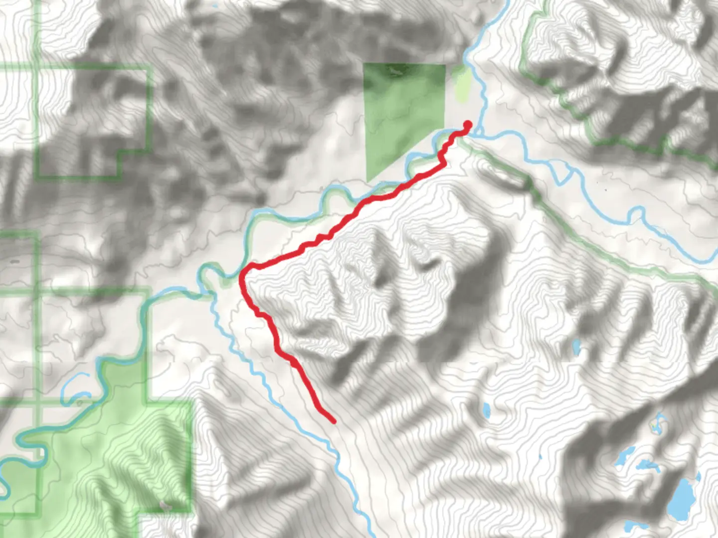
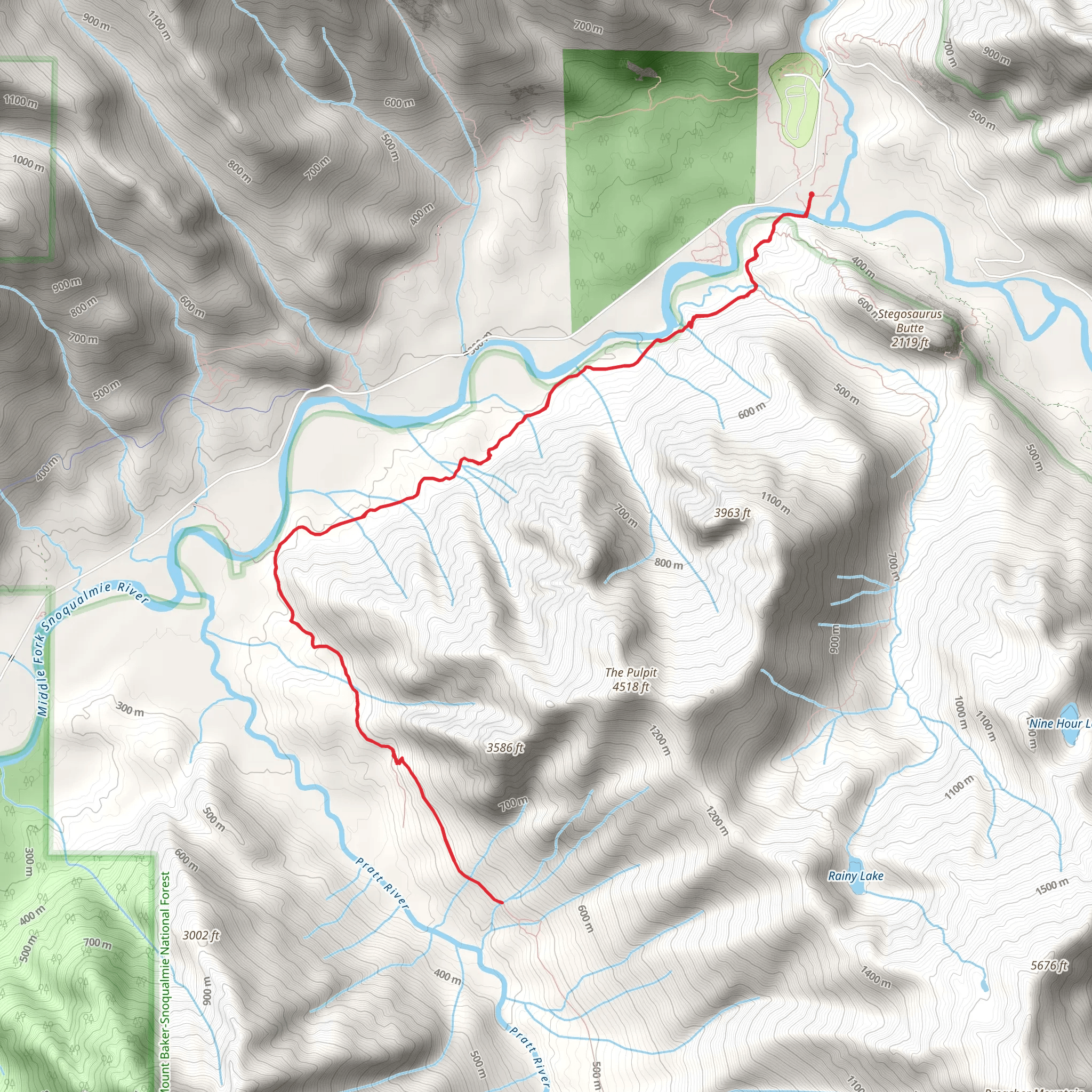
Starting near King County, Washington, the Pratt River Trail - Short is an invigorating out-and-back hike that spans approximately 15 km (9.3 miles) with an elevation gain of around 800 meters (2,625 feet). This trail is rated as medium difficulty, making it suitable for moderately experienced hikers.
Getting There To reach the trailhead, you can drive or use public transportation. If driving, head towards the Middle Fork Snoqualmie River Road (Forest Road 56) from North Bend, Washington. The trailhead is located near the Middle Fork Campground. For those using public transport, take a bus to North Bend and then arrange for a taxi or rideshare to the trailhead, as public transport options directly to the trailhead are limited.
Trail Overview The Pratt River Trail offers a diverse range of landscapes, from dense forests to open riverbanks. The trail begins with a gentle ascent through a lush forest of Douglas fir and western hemlock. As you progress, the path becomes steeper, offering glimpses of the Middle Fork Snoqualmie River below.
Key Landmarks and Points of Interest - **Middle Fork Snoqualmie River**: Approximately 2 km (1.2 miles) into the hike, you'll encounter the river. This is a great spot for a short break and some photos. - **Pratt River Confluence**: Around the 5 km (3.1 miles) mark, the trail meets the Pratt River. This confluence is a serene spot where you can often see salmon during spawning season. - **Old Growth Forest**: As you continue, you'll pass through sections of old-growth forest, with towering trees that have stood for centuries. This area is particularly beautiful in the fall when the leaves change color. - **Wildlife**: Keep an eye out for local wildlife, including black bears, deer, and various bird species. It's advisable to carry bear spray and make noise to avoid surprising any animals.
Historical Significance The Pratt River area has a rich history, with evidence of Native American use for fishing and hunting. In the early 20th century, the region was also a site for logging, which has since ceased, allowing the forest to regenerate.
Navigation and Safety Given the trail's moderate difficulty, it's essential to be prepared. Use the HiiKER app for navigation to ensure you stay on the correct path. The trail can be muddy and slippery, especially after rain, so sturdy hiking boots are recommended. Additionally, bring plenty of water and snacks, as there are no facilities along the trail.
Final Stretch The trail culminates at a scenic viewpoint overlooking the Pratt River Valley. This is a perfect spot to rest and take in the panoramic views before retracing your steps back to the trailhead. The return journey offers a different perspective, with downhill sections providing a more relaxed pace.
By following these guidelines and being well-prepared, you'll have a rewarding experience on the Pratt River Trail - Short.
What to expect?
Activity types
Comments and Reviews
User comments, reviews and discussions about the Pratt River Trail - Short, Washington.
4.36
average rating out of 5
14 rating(s)
