Download
Preview
Add to list
More
6.5 km
~1 hrs 45 min
281 m
Out and Back
“"Explore the lush, historical McGarvey East and Trillium Way trail's moderate 6 km hike near King County, WA."”
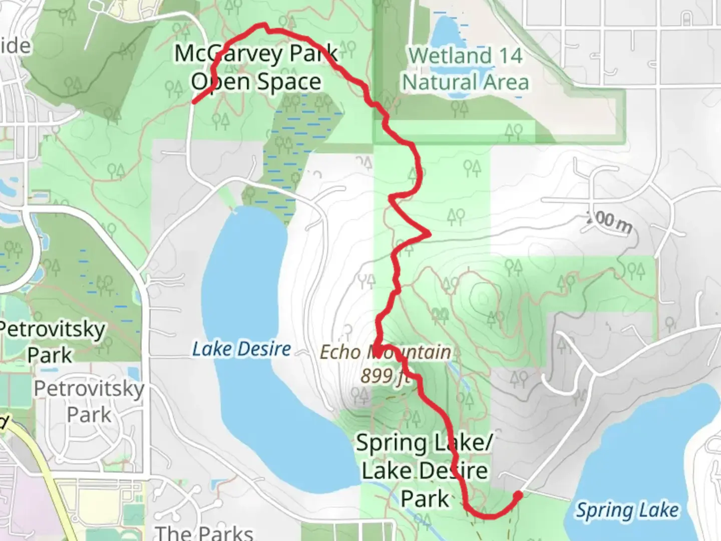
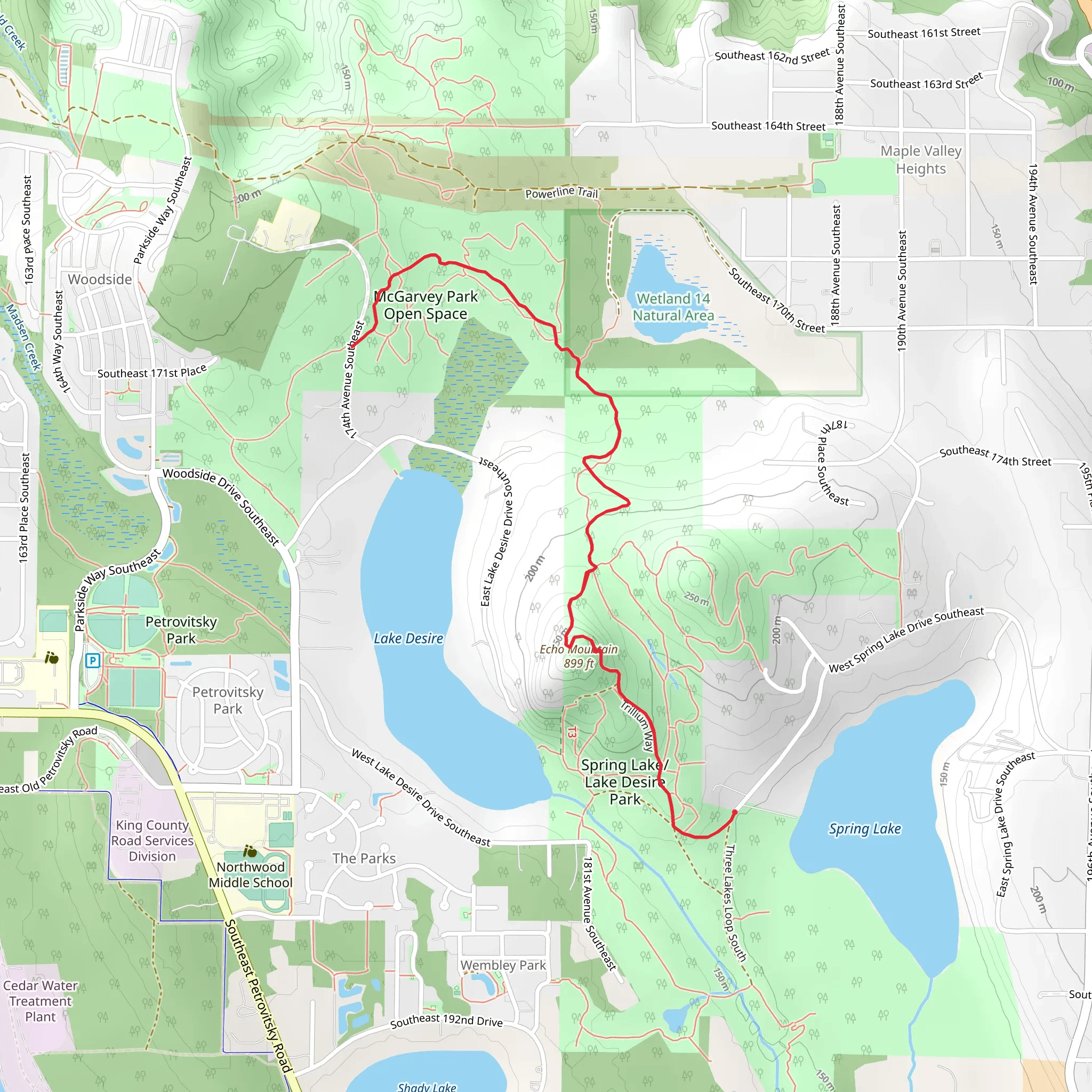
Starting near King County, Washington, the McGarvey East and Trillium Way trail offers a rewarding out-and-back hike of approximately 6 km (3.7 miles) with an elevation gain of around 200 meters (656 feet). This trail is rated as medium difficulty, making it suitable for moderately experienced hikers.### Getting There To reach the trailhead, you can drive or use public transportation. If driving, head towards the vicinity of King County, Washington. The nearest known address to the trailhead is the intersection of SE 208th St and 244th Ave SE, Maple Valley, WA. For those using public transport, King County Metro Transit offers bus services that can get you relatively close to the trailhead. From there, a short walk or a quick ride-share can get you to the starting point.### Trail Overview The trail begins with a gentle ascent through a lush forest, characterized by towering Douglas firs and Western red cedars. As you progress, the path becomes steeper, offering a moderate challenge. The first significant landmark you'll encounter is a small, serene creek about 1 km (0.6 miles) in. This is a great spot to take a short break and enjoy the natural surroundings.### Flora and Fauna The McGarvey East and Trillium Way trail is rich in biodiversity. Keep an eye out for native plant species such as trilliums, which bloom in the spring and give part of the trail its name. You might also spot wildlife like black-tailed deer, various bird species, and occasionally, black bears. Always maintain a safe distance from wildlife and follow Leave No Trace principles.### Midpoint and Elevation At approximately 3 km (1.9 miles) in, you'll reach the highest point of the trail, which offers a modest but rewarding view of the surrounding forested landscape. This is a good spot to pause and take in the scenery before beginning your descent.### Historical Significance The area around King County has a rich history, with indigenous tribes such as the Duwamish and Snoqualmie having lived in the region for thousands of years. The trail itself passes through lands that were historically used for logging in the early 20th century, and remnants of old logging roads can still be seen.### Navigation and Safety Given the moderate difficulty of the trail, it's advisable to use a reliable navigation tool like HiiKER to keep track of your progress and ensure you stay on the correct path. The trail is well-marked, but having a digital map can provide extra assurance.### Return Journey The return journey follows the same path, allowing you to revisit the beautiful landscapes and perhaps notice details you missed on the way up. The descent is generally easier, but still requires caution, especially if the trail is wet or muddy.By the time you complete the McGarvey East and Trillium Way trail, you'll have experienced a diverse range of natural beauty and a touch of the region's historical significance, all within a manageable 6 km (3.7 miles) hike.
What to expect?
Activity types
Comments and Reviews
User comments, reviews and discussions about the McGarvey East and Trillium Way, Washington.
4.55
average rating out of 5
11 rating(s)
