Download
Preview
Add to list
More
17.0 km
~4 hrs 8 min
442 m
Out and Back
“Immerse in Pacific Northwest beauty and history on the moderately challenging Kerriston via Rattlesnake Road trail.”
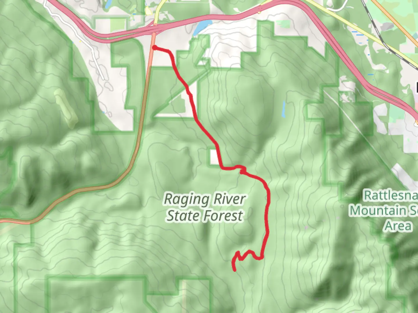
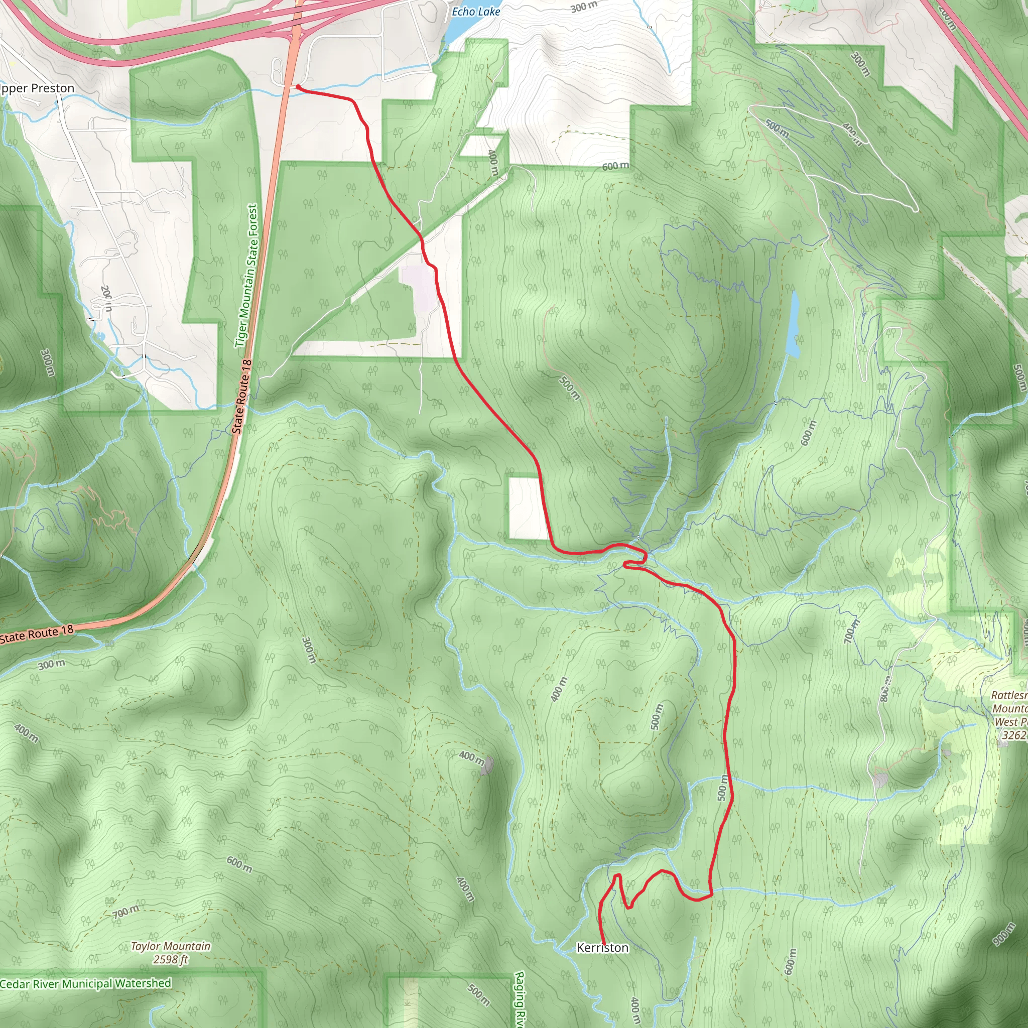
Starting near King County, Washington, the Kerriston via Rattlesnake Road Southeast trail offers a moderately challenging out-and-back hike spanning approximately 17 kilometers (10.5 miles) with an elevation gain of around 400 meters (1,312 feet). This trail is perfect for those looking to immerse themselves in the lush Pacific Northwest environment while enjoying a mix of historical and natural landmarks.
Getting There To reach the trailhead, you can drive or use public transportation. If driving, head towards the vicinity of North Bend, Washington. The nearest significant landmark is the Rattlesnake Lake Recreation Area. From there, follow local roads to the trailhead. For those using public transport, take a bus to North Bend and then a taxi or rideshare to the trailhead.
Trail Overview The trail begins near the Rattlesnake Lake Recreation Area, a popular spot for picnicking and fishing. As you start your hike, you'll be greeted by dense forests of Douglas fir and western red cedar, typical of the region. The initial part of the trail is relatively flat, making it a good warm-up for the more challenging sections ahead.
Key Landmarks and Sections #### Rattlesnake Ledge About 3 kilometers (1.9 miles) into the hike, you'll reach Rattlesnake Ledge, a popular viewpoint offering panoramic views of the surrounding mountains and Rattlesnake Lake below. This is a great spot for a short break and some photos.
#### Historical Significance As you continue, you'll come across remnants of old logging operations. This area was historically significant for its logging industry in the early 20th century. Keep an eye out for old logging equipment and rail tracks, which serve as a reminder of the region's industrial past.
#### Wildlife and Flora The trail is home to a variety of wildlife, including black-tailed deer, black bears, and numerous bird species like the Steller's jay and the pileated woodpecker. The flora is equally diverse, with seasonal wildflowers such as trillium and lupine adding splashes of color to the landscape.
Navigation and Safety Given the moderate difficulty of the trail, it's advisable to use a reliable navigation tool like HiiKER to keep track of your progress and ensure you stay on the correct path. The trail is well-marked, but having a digital map can be invaluable, especially in foggy or rainy conditions.
Final Stretch The final stretch of the trail involves a gradual ascent, leading you to the endpoint near Kerriston. This section offers a quieter, more secluded experience compared to the busier initial parts of the trail. The elevation gain here is more noticeable, so pace yourself and take breaks as needed.
Return Journey Since this is an out-and-back trail, you'll retrace your steps back to the trailhead. The descent offers a different perspective on the landscape, and you may notice details you missed on the way up.
Practical Tips - **Water and Snacks:** Ensure you carry enough water and high-energy snacks. There are no water sources along the trail. - **Clothing:** Dress in layers, as the weather can change rapidly. Waterproof gear is recommended. - **Footwear:** Sturdy hiking boots with good ankle support are essential due to the uneven terrain.
This trail offers a rewarding mix of natural beauty, historical intrigue, and moderate physical challenge, making it a must-visit for any hiking enthusiast in the Pacific Northwest.
What to expect?
Activity types
Comments and Reviews
User comments, reviews and discussions about the Kerriston via Rattlesnake Road Southeast, Washington.
4.33
average rating out of 5
9 rating(s)
