Download
Preview
Add to list
More
5.9 km
~1 hrs 46 min
354 m
Loop
“Discover lush forests, historical artifacts, and panoramic views on the High Point and Preston Loop Trail.”
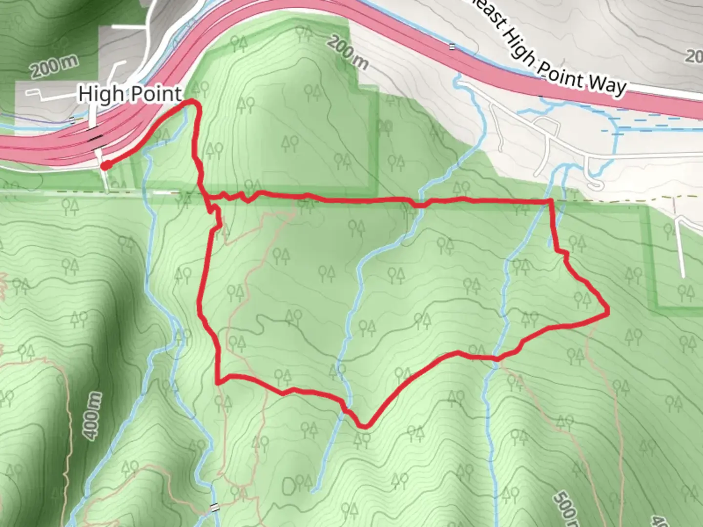
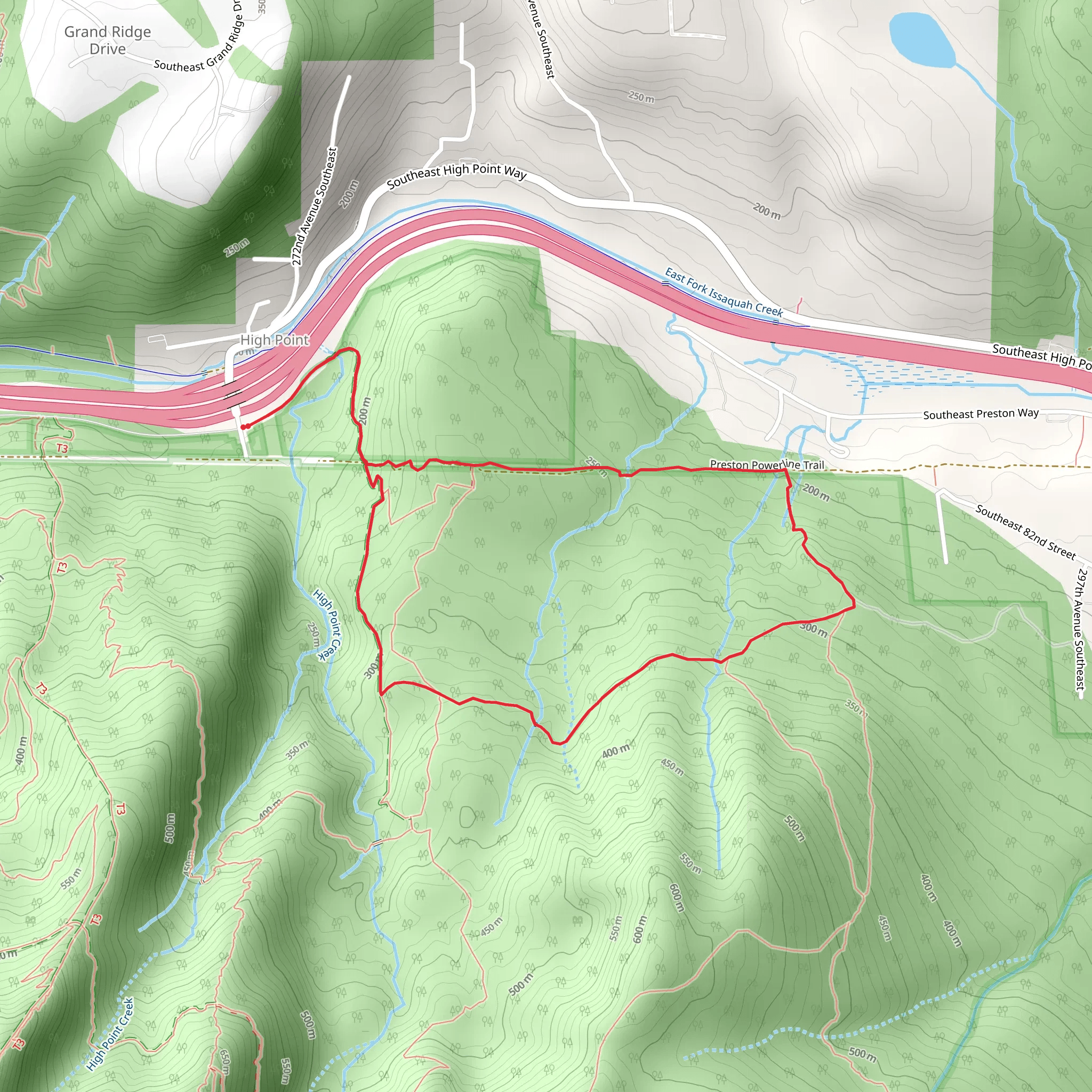
Starting your adventure near King County, Washington, the High Point and Preston Loop Trail offers a moderately challenging hike with a distance of around 6 km (approximately 3.7 miles) and an elevation gain of about 300 meters (roughly 984 feet). This loop trail is perfect for those looking to immerse themselves in the lush greenery of the Pacific Northwest.### Getting There To reach the trailhead, you can drive or use public transportation. If driving, head towards the High Point Trailhead, located near the intersection of SE 79th Street and High Point Way. For those using public transport, take a bus to the Issaquah Transit Center, and from there, you can either catch a local taxi or rideshare service to the trailhead, which is about a 10-minute drive away.### Trail Navigation Starting from the High Point Trailhead, the trail initially meanders through dense forest, offering a serene and shaded environment. Make sure to have the HiiKER app downloaded for accurate navigation and trail details. The first section of the trail is relatively flat, making it a good warm-up for the more strenuous parts ahead.### Flora and Fauna As you progress, you'll notice a rich variety of flora, including towering Douglas firs, western hemlocks, and a carpet of ferns and mosses. Keep an eye out for local wildlife such as black-tailed deer, squirrels, and a variety of bird species including woodpeckers and owls. The trail is particularly beautiful in the spring and early summer when wildflowers are in bloom.### Significant Landmarks Around the 2 km (1.2 miles) mark, you'll come across a small, picturesque creek. This is a great spot to take a short break and enjoy the soothing sounds of flowing water. Continuing on, the trail begins to ascend more steeply, gaining elevation as you approach the halfway point.### Historical Significance The region around the High Point and Preston Loop Trail has a rich history tied to the logging industry of the early 20th century. As you hike, you may notice remnants of old logging equipment and rail tracks, a testament to the area's industrial past. These historical artifacts add an intriguing layer to your hiking experience, offering a glimpse into the lives of the loggers who once worked here.### Reaching the Summit At approximately 3 km (1.9 miles), you'll reach the highest point of the trail. Here, you can enjoy panoramic views of the surrounding forest and, on clear days, catch glimpses of the distant Cascade Mountains. This is an ideal spot for a longer rest, a snack, and some photos.### Descent and Return The descent begins shortly after the summit, with the trail looping back towards the starting point. The downhill section can be a bit steep and rocky, so watch your footing. The trail eventually levels out as you re-enter the denser forest, providing a gentle and relaxing end to your hike.### Final Stretch As you near the end of the loop, you'll pass through a series of switchbacks that lead you back to the trailhead. This final stretch is a great opportunity to reflect on the diverse landscapes and historical elements you've encountered along the way.Whether you're a seasoned hiker or someone looking to explore the natural beauty of King County, the High Point and Preston Loop Trail offers a rewarding and enriching experience.
What to expect?
Activity types
Comments and Reviews
User comments, reviews and discussions about the High Point and Preston Loop Trail, Washington.
4.48
average rating out of 5
21 rating(s)
